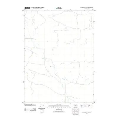
2011 Map of Stonehouse Ranch
USGS Topo · Published 2011About this map
Gracie Creek meanders through this portion of Loup County, defining the primary drainage for a landscape shaped by the Nebraska Sandhills. At the time of this 2011 survey, the area remains an open ranching territory characterized by a sparse network of section-line roads and interior trails. The hydrological patterns shown along Gracie Creek suggest a seasonal flow typical of the region's sandy soils, where water bodies often fluctuate or appear as small, isolated ponds across the terrain. For those interested in the rural development of the central part of the state, the map provides a clear look at the relationship between water access and the placement of remote ranch buildings and infrastructure.
Find a feature on this map
1 named feature on this map. Tap any name to fly to it.
Don’t see what you’re looking for? This feature index may not catch every label — zoom into the map to look around manually.
Map Details
Editions of this 2011 Stonehouse Ranch Map
This is the sole edition of this map. No revisions or reprints were ever made.
Other maps of this area

1952 · Taylor NW
USGS Topo · 1:24,000

1952 · Burwell NW
USGS Topo · 1:24,000

1952 · Taylor NE
USGS Topo · 1:24,000

1955 · Broken Bow
USGS Topo · 1:250,000

1955 · O'Neill
USGS Topo · 1:250,000

1956 · Broken Bow
USGS Topo · 1:250,000

1959 · O'Neill
USGS Topo · 1:250,000

1969 · O'Neill
USGS Topo · 1:250,000

1981 · Bruner Lake
USGS Topo · 1:24,000

1981 · Stonehouse Ranch NW
USGS Topo · 1:24,000