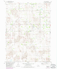
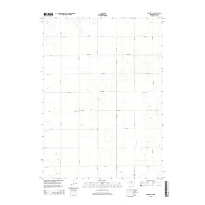
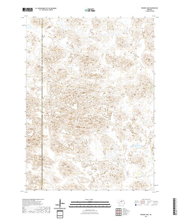
1981 Map of Bruner Lake
USGS Topo · Published 1981About this map
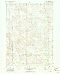
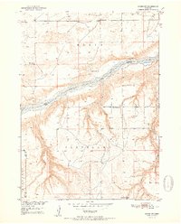
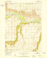
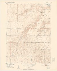
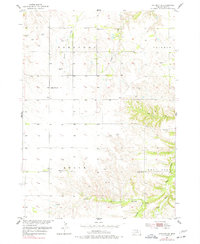
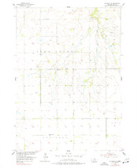
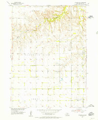
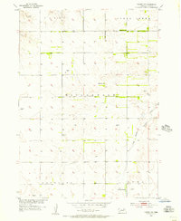
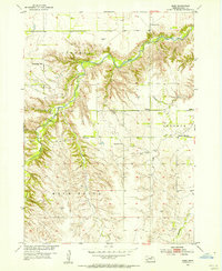
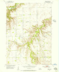
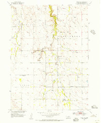
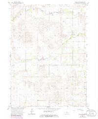
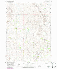
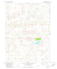
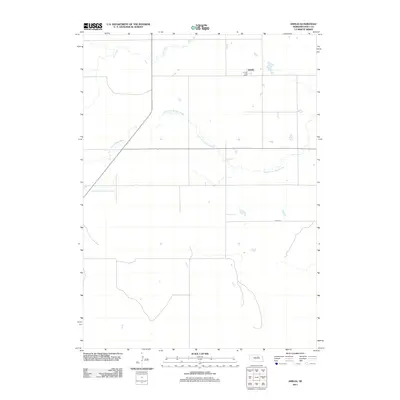
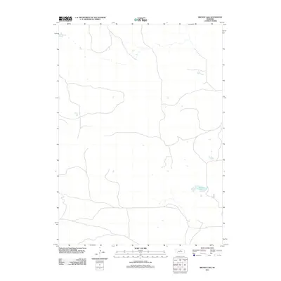
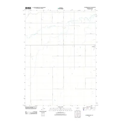
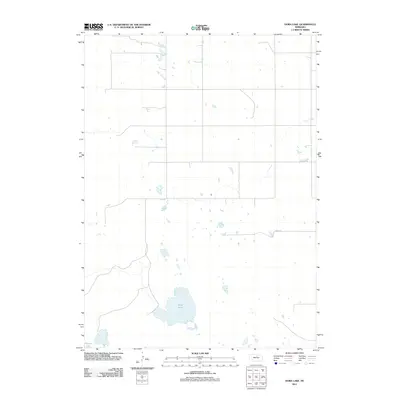
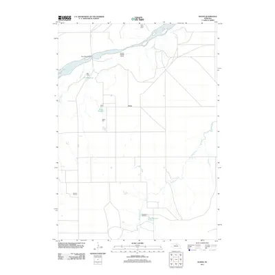
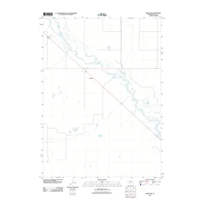
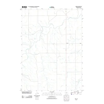
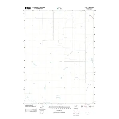
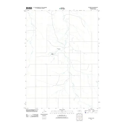
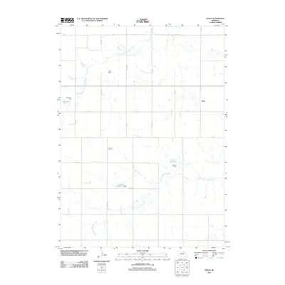
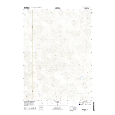
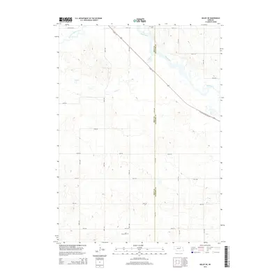
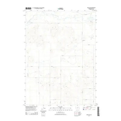
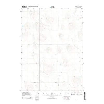
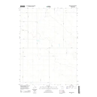
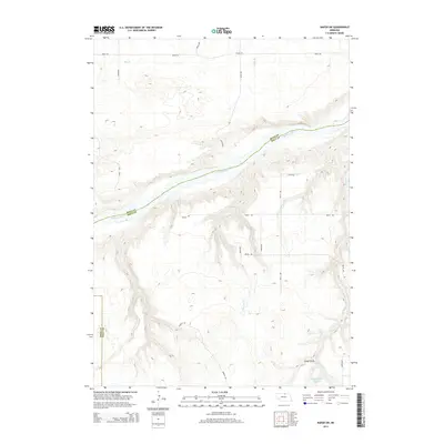
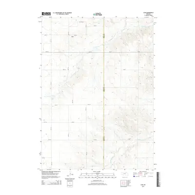
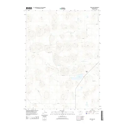
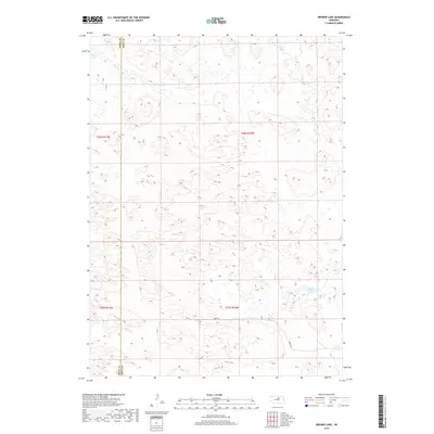
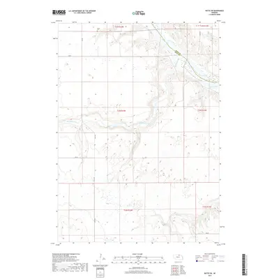
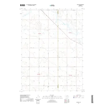
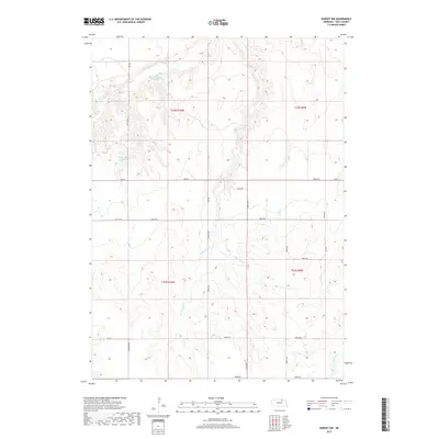
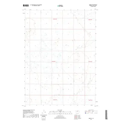
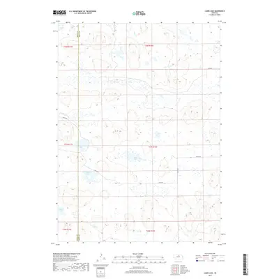
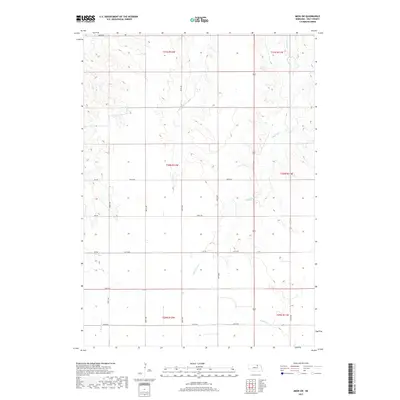
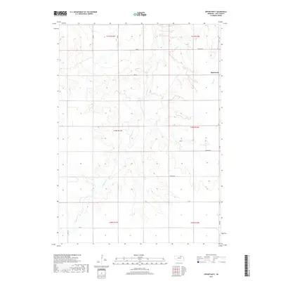
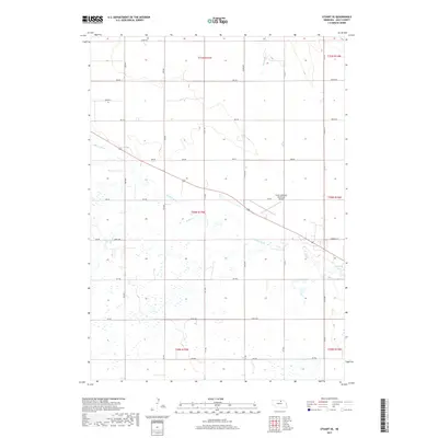
Bruner Lake sits at the heart of this Nebraska Sandhills landscape, marking a distinctive watery depression in a region of undulating topography. The map illustrates a sparse ranching economy in the early 1980s, where significant landholdings such as Indian Hollow Ranch and Taylor Ranch define the human footprint. These private tracts are interconnected by primitive roads and trails that traverse the county line between Rock Co and Holt Co. The presence of isolated infrastructure, including a prominent Well near the eastern boundary, underscores the critical importance of groundwater management for sustaining livestock in this portion of the state. To the northwest, Long Lake provides another rare point of permanent surface water, contrasting with the surrounding dune-like terrain.
Find a feature on this map
6 named features on this map. Tap any name to fly to it.
Don’t see what you’re looking for? This feature index may not catch every label — zoom into the map to look around manually.
Map Details
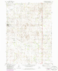
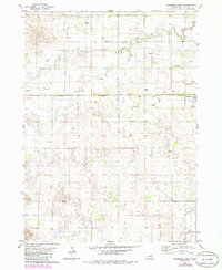
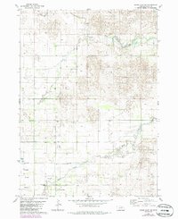
Editions of this 1981 Bruner Lake Map
This is the sole edition of this map. No revisions or reprints were ever made.
Historical Maps of Holt County Through Time
184 maps found
1950 Dorsey NW
Holt County, NE
1951 Butte SW
Holt County, NE
1951 Dustin
Holt County, NE
1951 Naper SW
Holt County, NE
1952 Butte SE
Holt County, NE
1952 Dorsey
Holt County, NE
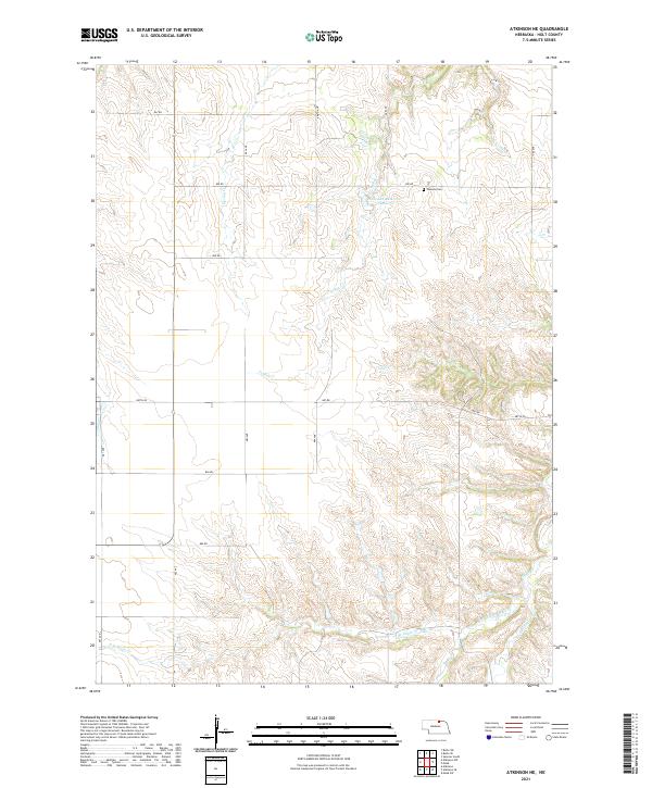
1954 Atkinson NE
Holt County, NE
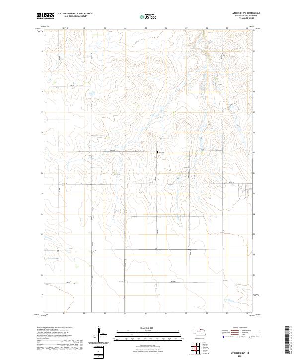
1954 Atkinson NW
Holt County, NE
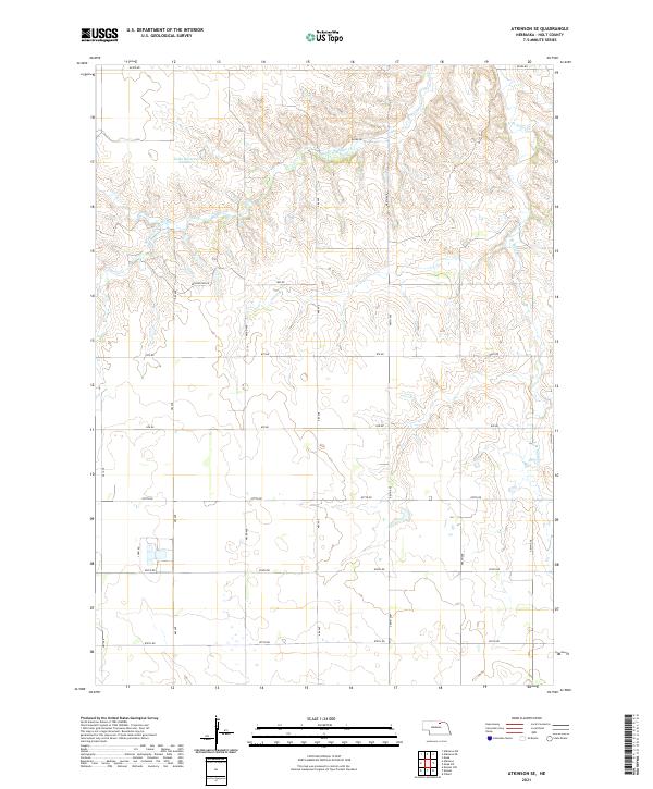
1954 Atkinson SE
Holt County, NE
1954 Dorsey SW
Holt County, NE
1954 Meek
Holt County, NE
1954 Meek NE
Holt County, NE
1954 Meek SW
Holt County, NE
1954 Opportunity
Holt County, NE
1954 Star
Holt County, NE
1954 Stuart NE
Holt County, NE
1954 Stuart NW
Holt County, NE
1954 Stuart SE
Holt County, NE
1963 Deloit NE
Holt County, NE
1963 Deloit NW
Holt County, NE
1963 Ewing SW
Holt County, NE
1963 Venus
Holt County, NE
1964 Emmet NW
Holt County, NE
1964 Emmet SE
Holt County, NE
1964 Emmet SW
Holt County, NE
1964 O'Neill SE
Holt County, NE
1964 O'Neill SW
Holt County, NE
1981 Amelia
Holt County, NE
1981 Bruner Lake
Holt County, NE
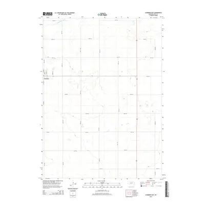
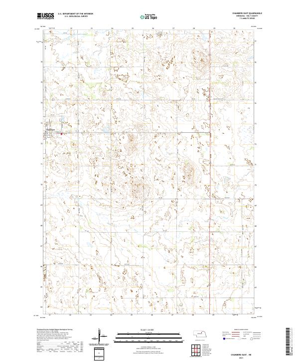
1981 Chambers East
Holt County, NE
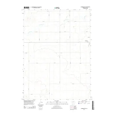
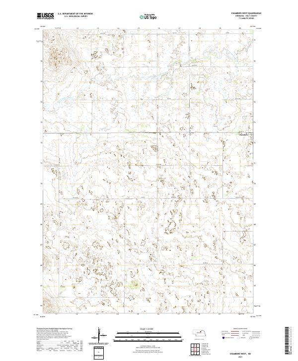
1981 Chambers West
Holt County, NE
1981 Goose Lake NE
Holt County, NE
1981 Swan Lake
Holt County, NE
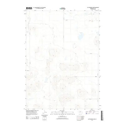
1982 Cottonwood Lake
Holt County, NE
1982 Dora Lake
Holt County, NE
1982 Lambs Lake
Holt County, NE
2011 Amelia
Holt County, NE
2011 Atkinson NE
Holt County, NE
2011 Atkinson NW
Holt County, NE
2011 Atkinson SE
Holt County, NE
2011 Bruner Lake
Holt County, NE
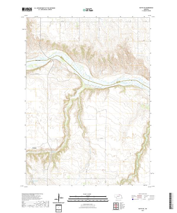
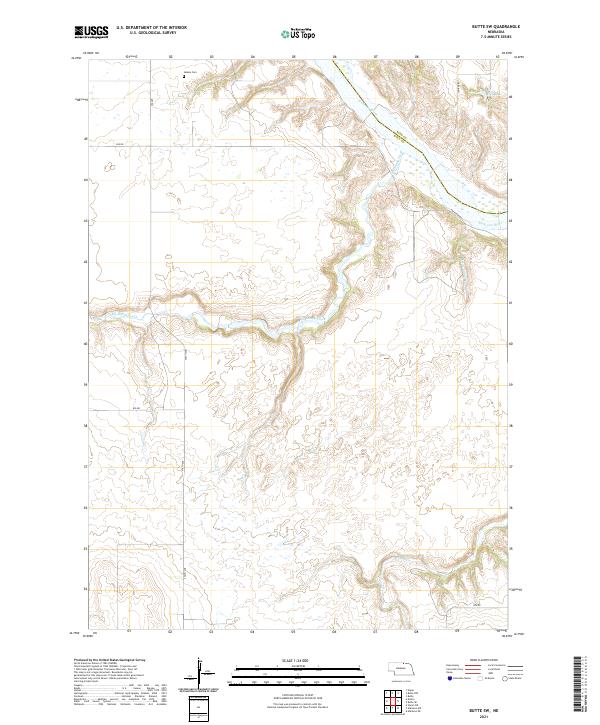
2011 Butte SE
Holt County, NE
2011 Butte SW
Holt County, NE
2011 Chambers East
Holt County, NE
2011 Chambers West
Holt County, NE
2011 Cottonwood Lake
Holt County, NE
2011 Deloit NE
Holt County, NE
2011 Deloit NW
Holt County, NE
2011 Dora Lake
Holt County, NE
2011 Dorsey
Holt County, NE
2011 Dorsey NW
Holt County, NE
2011 Dorsey SW
Holt County, NE
2011 Dustin
Holt County, NE
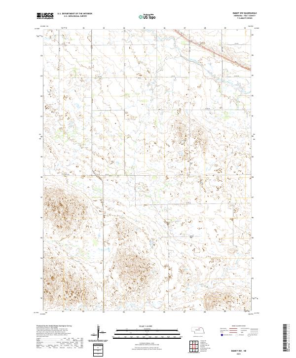
2011 Emmet NW
Holt County, NE
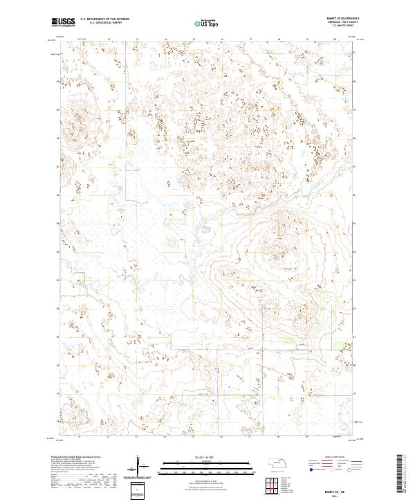
2011 Emmet SE
Holt County, NE
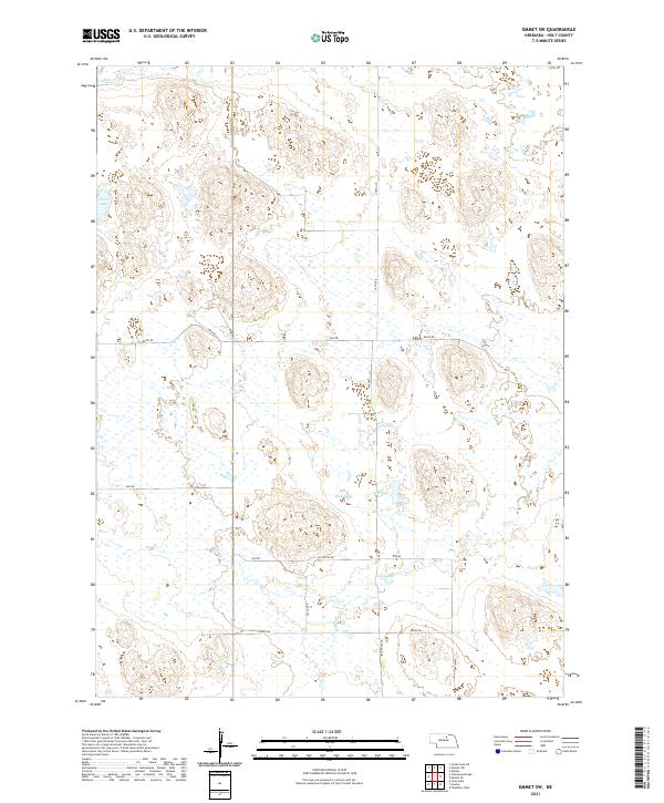
2011 Emmet SW
Holt County, NE
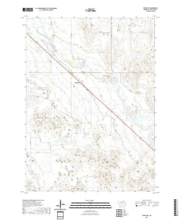
2011 Ewing SW
Holt County, NE
2011 Goose Lake NE
Holt County, NE
2011 Lambs Lake
Holt County, NE
2011 Lambs Lake NE
Holt County, NE
2011 Meek
Holt County, NE
2011 Meek NE
Holt County, NE
2011 Meek SW
Holt County, NE
2011 Naper SW
Holt County, NE
2011 O'Neill SE
Holt County, NE
2011 O'Neill SW
Holt County, NE
2011 Opportunity
Holt County, NE
2011 Star
Holt County, NE
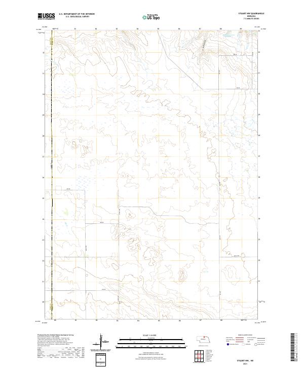
2011 Stuart NE
Holt County, NE
2011 Stuart NW
Holt County, NE
2011 Stuart SE
Holt County, NE
2011 Swan Lake
Holt County, NE
2011 Venus
Holt County, NE
2014 Amelia
Holt County, NE
2014 Atkinson NE
Holt County, NE
2014 Atkinson NW
Holt County, NE
2014 Atkinson SE
Holt County, NE
2014 Bruner Lake
Holt County, NE
2014 Butte SE
Holt County, NE
2014 Butte SW
Holt County, NE
2014 Chambers East
Holt County, NE
2014 Chambers West
Holt County, NE
2014 Cottonwood Lake
Holt County, NE
2014 Deloit NE
Holt County, NE
2014 Deloit NW
Holt County, NE
2014 Dora Lake
Holt County, NE
2014 Dorsey
Holt County, NE
2014 Dorsey NW
Holt County, NE
2014 Dorsey SW
Holt County, NE
2014 Dustin
Holt County, NE
2014 Emmet NW
Holt County, NE
2014 Emmet SE
Holt County, NE
2014 Emmet SW
Holt County, NE
2014 Ewing SW
Holt County, NE
2014 Goose Lake NE
Holt County, NE
2014 Lambs Lake
Holt County, NE
2014 Lambs Lake NE
Holt County, NE
2014 Meek
Holt County, NE
2014 Meek NE
Holt County, NE
2014 Meek SW
Holt County, NE
2014 Naper SW
Holt County, NE
2014 O'Neill SE
Holt County, NE
2014 O'Neill SW
Holt County, NE
2014 Opportunity
Holt County, NE
2014 Star
Holt County, NE
2014 Stuart NE
Holt County, NE
2014 Stuart NW
Holt County, NE
2014 Stuart SE
Holt County, NE
2014 Swan Lake
Holt County, NE
2014 Venus
Holt County, NE
2017 Amelia
Holt County, NE
2017 Atkinson NE
Holt County, NE
2017 Atkinson NW
Holt County, NE
2017 Atkinson SE
Holt County, NE
2017 Bruner Lake
Holt County, NE
2017 Butte SE
Holt County, NE
2017 Butte SW
Holt County, NE
2017 Chambers East
Holt County, NE
2017 Chambers West
Holt County, NE
2017 Cottonwood Lake
Holt County, NE
2017 Deloit NE
Holt County, NE
2017 Deloit NW
Holt County, NE
2017 Dora Lake
Holt County, NE
2017 Dorsey
Holt County, NE
2017 Dorsey NW
Holt County, NE
2017 Dorsey SW
Holt County, NE
2017 Dustin
Holt County, NE
2017 Emmet NW
Holt County, NE
2017 Emmet SE
Holt County, NE
2017 Emmet SW
Holt County, NE
2017 Ewing SW
Holt County, NE
2017 Goose Lake NE
Holt County, NE
2017 Lambs Lake
Holt County, NE
2017 Lambs Lake NE
Holt County, NE
2017 Meek
Holt County, NE
2017 Meek NE
Holt County, NE
2017 Meek SW
Holt County, NE
2017 Naper SW
Holt County, NE
2017 O'Neill SE
Holt County, NE
2017 O'Neill SW
Holt County, NE
2017 Opportunity
Holt County, NE
2017 Star
Holt County, NE
2017 Stuart NE
Holt County, NE
2017 Stuart NW
Holt County, NE
2017 Stuart SE
Holt County, NE
2017 Swan Lake
Holt County, NE
2017 Venus
Holt County, NE
2021 Amelia
Holt County, NE
2021 Atkinson NE
Holt County, NE
2021 Atkinson NW
Holt County, NE
2021 Atkinson SE
Holt County, NE
2021 Bruner Lake
Holt County, NE
2021 Butte SE
Holt County, NE
2021 Butte SW
Holt County, NE
2021 Chambers East
Holt County, NE
2021 Chambers West
Holt County, NE
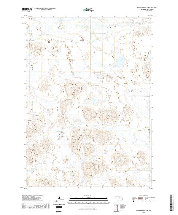
2021 Cottonwood Lake
Holt County, NE
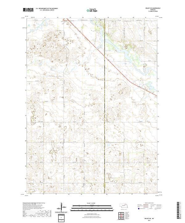
2021 Deloit NE
Holt County, NE
2021 Deloit NW
Holt County, NE
2021 Dora Lake
Holt County, NE
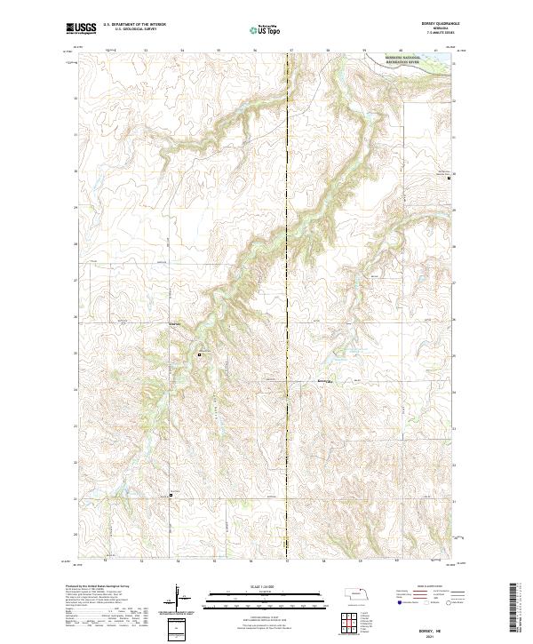
2021 Dorsey
Holt County, NE
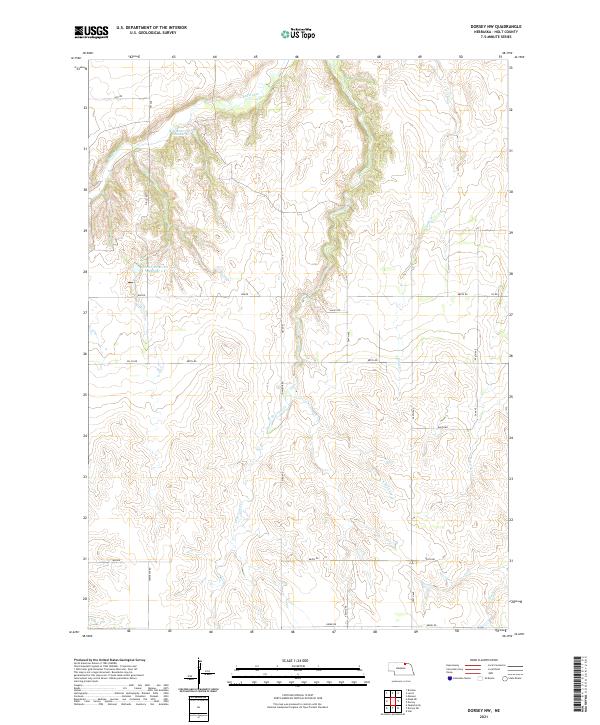
2021 Dorsey NW
Holt County, NE
2021 Dorsey SW
Holt County, NE
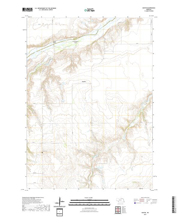
2021 Dustin
Holt County, NE
2021 Emmet NW
Holt County, NE
2021 Emmet SE
Holt County, NE
2021 Emmet SW
Holt County, NE
2021 Ewing SW
Holt County, NE
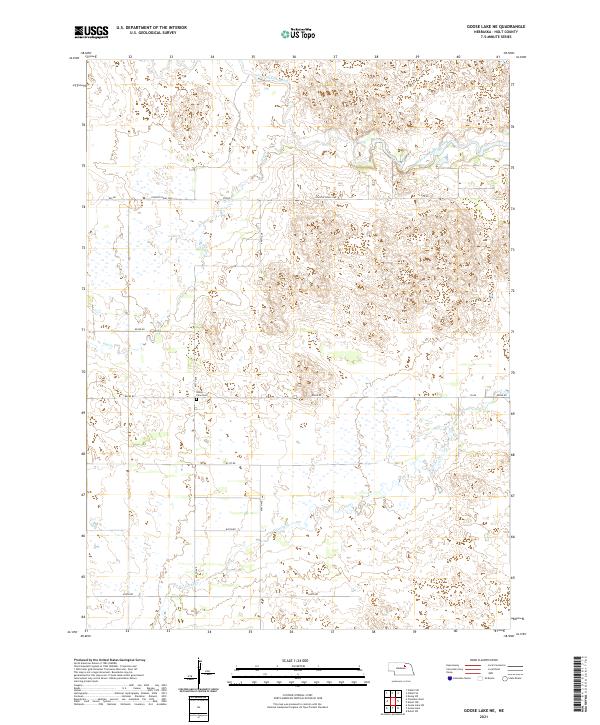
2021 Goose Lake NE
Holt County, NE
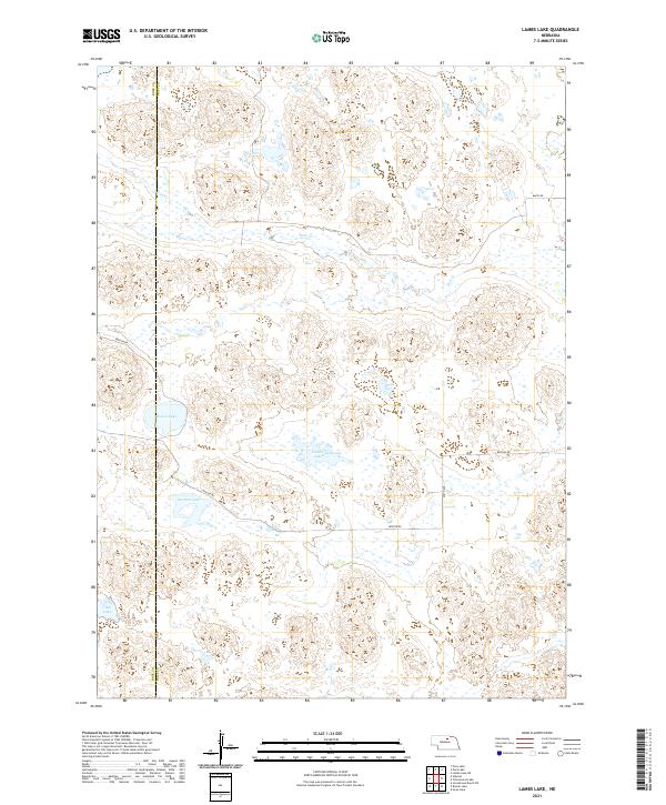
2021 Lambs Lake
Holt County, NE
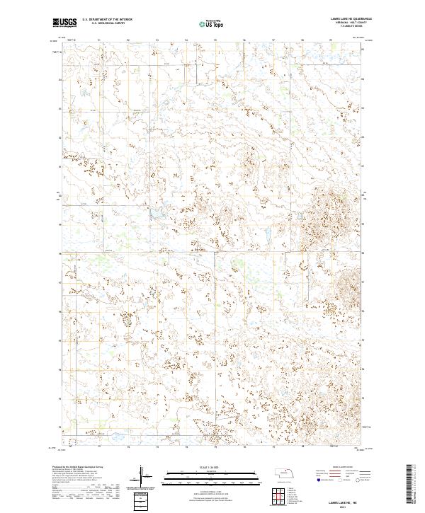
2021 Lambs Lake NE
Holt County, NE
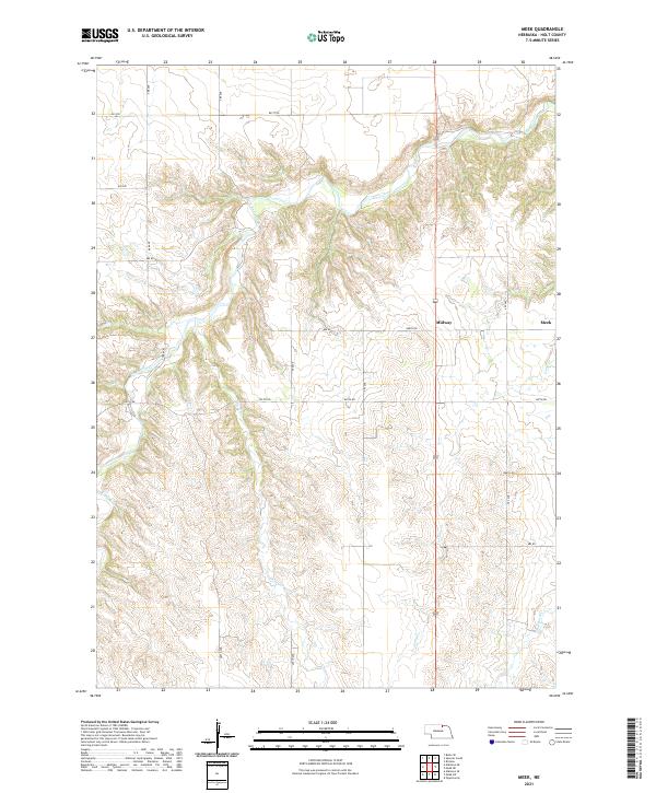
2021 Meek
Holt County, NE
2021 Meek NE
Holt County, NE
2021 Meek SW
Holt County, NE
2021 Naper SW
Holt County, NE
2021 O'Neill SE
Holt County, NE
2021 O'Neill SW
Holt County, NE
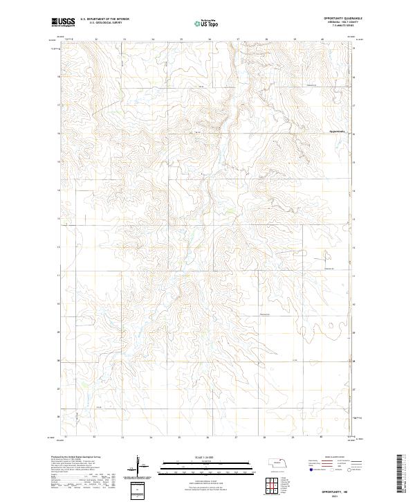
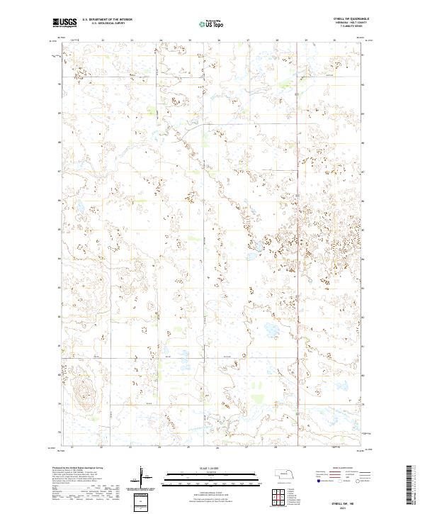
2021 Opportunity
Holt County, NE
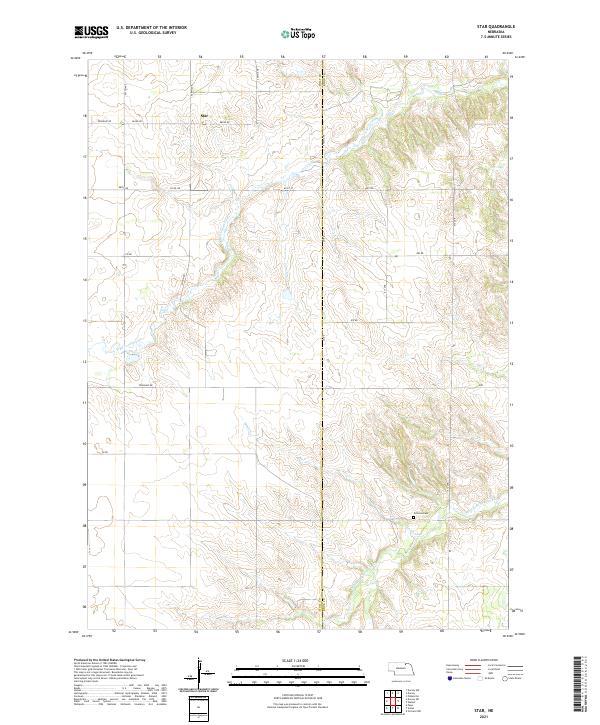
2021 Star
Holt County, NE
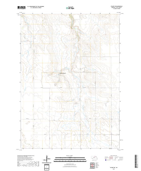
2021 Stuart NE
Holt County, NE
2021 Stuart NW
Holt County, NE
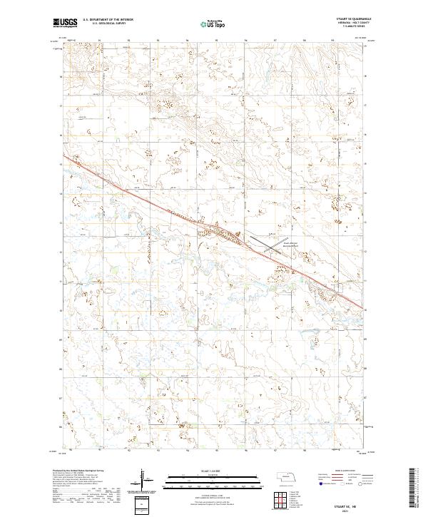
2021 Stuart SE
Holt County, NE
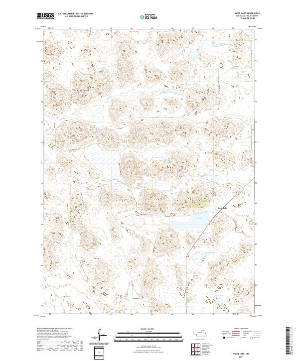
2021 Swan Lake
Holt County, NE
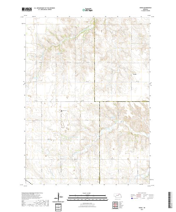
2021 Venus
Holt County, NE