Old Maps of Newman Grove, Nebraska for Academic Research
Study the evolution of Newman Grove with 14 high-resolution historic maps. Whether you're teaching, researching, or modeling changes in land use, these maps provide essential visual documentation of urban, environmental, and geographic change.
- Analyze long-term change: Track patterns in development, transportation, and natural features.
- Ideal for environmental or urban studies: Support academic projects with primary historical map data.
- Use in the classroom or lab: Educators and researchers rely on these maps to bring historical context to life.
These maps are a powerful tool for teaching, research, and visualizing how Newman Grove has changed over the decades.
Newman Grove, NE maps
(14)- 1955 Map of Fremont, 1966 Print
 1955 Fremont1966 Print · USGSEastern Nebraska and the Missouri River border are captured during the mid-fifties, just as the interstate system began to emerge. Researchers can trace the development of Omaha, locate the sprawling Offutt Air Force Base, or study the river-bound ecology of the De Soto National Wildlife Refuge.3 unique versions available
 - 1957 Map of Fremont
 1957 Fremont1957 Print · USGSEastern Nebraska and western Iowa thrive along the Platte and Missouri rivers during the mid-fifties. Genealogists can locate small rural schools like Fairview School and tracing the paths of the Union Pacific through towns like Albion and Humphrey.
 - 1958 Map of Fremont
 1958 Fremont1958 Print · USGSEastern Nebraska in the late fifties is captured here as a thriving corridor of river-valley commerce and rail transport. Researchers can trace the development of Omaha and Fremont or locate local landmarks like Midland College and Offutt Air Force Base.
 - 1963 Map of Closter SE, 1964 Print
 1963 Closter SE1964 Print · USGSMadison and Boone counties are captured in the early sixties, showing a landscape of rural schoolhouses and creek-side settlements. Trace family roots at Shell Creek Cem, Trinity Cem, and several numbered schools like School No 38.2 unique versions available
 - 1966 Map of Newman Grove, 1967 Print
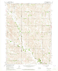
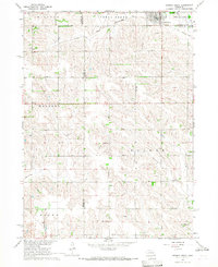 1966 Newman Grove1967 Print · USGSNewman Grove and the surrounding farmsteads of Madison and Platte counties are captured here in the mid-1960s. Researchers can trace the Chicago and North Western line, locate the Happy Hill Sch, or find family roots at Salem Ch.2 unique versions available
 - 1985 Map of Stanton
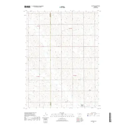
 1985 Stanton1985 Print · USGSNortheast Nebraska in the mid-eighties shows a landscape of river-valley agriculture and evolving rail networks. Genealogists can trace family footprints through Stanton and Madison, or locate historical markers like the Old Indian Treaty Boundary and Saint Bernard.2 unique versions available
 - 2011 Map of Newman Grove, 2011 Print
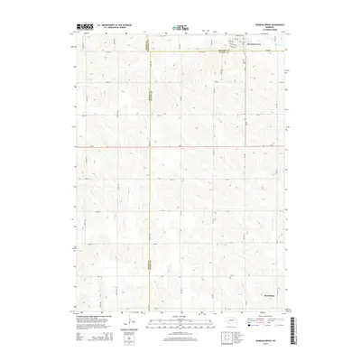
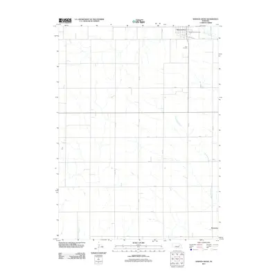 2011 Newman Grove2011 Print · USGSCovers Newman Grove, including Rosenburg, Platte County, and other nearby areas
 - 2011 Map of Closter SE, 2011 Print
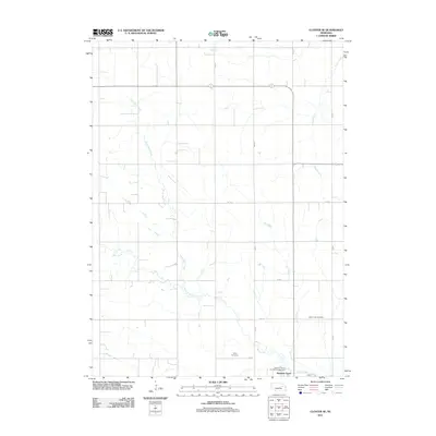 2011 Closter SE2011 Print · USGSCovers Newman Grove, including Madison County, Boone County, and other nearby areas
 - 2014 Map of Closter SE, 2014 Print
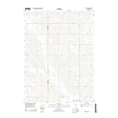 2014 Closter SE2014 Print · USGSCovers Newman Grove, including Madison County, Boone County, and other nearby areas
 - 2014 Map of Newman Grove, 2014 Print
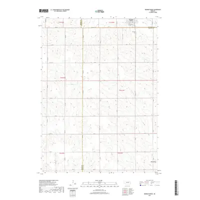
 2014 Newman Grove2014 Print · USGSCovers Newman Grove, including Rosenburg, Platte County, and other nearby areas
 - 2017 Map of Newman Grove, 2017 Print
 2017 Newman Grove2017 Print · USGSCovers Newman Grove, including Rosenburg, Platte County, and other nearby areas
 - 2017 Map of Closter SE, 2017 Print
 2017 Closter SE2017 Print · USGSCovers Newman Grove, including Madison County, Boone County, and other nearby areas
 - 2021 Map of Closter SE, 2021 Print
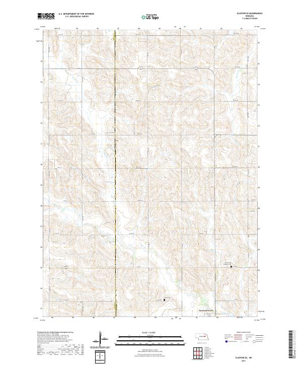 2021 Closter SE2021 Print · USGSThe borderlands of Madison and Boone counties come into focus in the early 2020s, showing the rural outskirts of Newman Grove. Researchers can locate historic burial sites like Shell Creek Lutheran Cem and Trinity Cem along the winding banks of Shell Cr.
 - 2021 Map of Newman Grove, 2021 Print
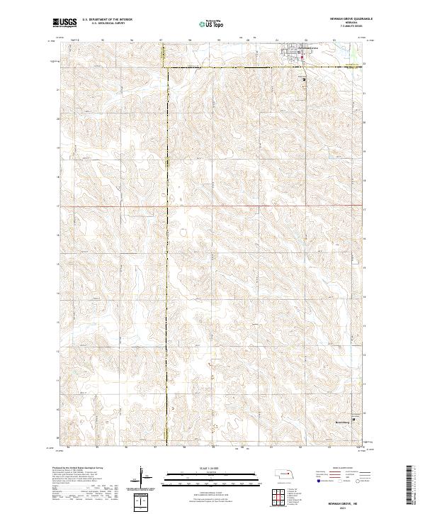 2021 Newman Grove2021 Print · USGSNewman Grove and the tri-county borderlands of Nebraska are captured here in the early twenty-first century. Genealogists can locate family sites near Saint Ansgar Cemetery and Rosenborg, or trace the path of Looking Glass Cr.
End of results
Showing maps 1-14 of 14
Top cities near Newman Grove
Frequently asked questions
- What are the different types of historical maps available for Newman Grove?
- What is the oldest map of Newman Grove?
- Where can I purchase historical maps of Newman Grove for my home or office?
- Where can I download high-res historical maps of Newman Grove?
- Are there historical topographic maps available for Newman Grove?
- Is there historical aerial imagery available for Newman Grove?
- Where are historical maps of Newman Grove sourced from?