Old Maps of Archer, Nebraska for Hiking & Exploration
Hike through history with 9 historic maps of Archer. Explore old trails, ghost towns, and forgotten backroads — perfect for outdoor adventurers and local explorers.
- Rediscover forgotten places: Map out old mining camps, roads, and footpaths that no longer exist on modern maps.
- Layer with modern tools: Combine with LiDAR or satellite views to plan hikes through historical terrain.
- Made for exploration: Popular among hikers, overlanders, and local history lovers.
Use these maps to find adventure and explore the hidden past of Archer.
Archer, NE maps
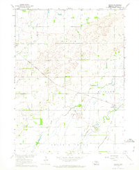
(9)- 1899 Map of St. Paul
 1899 St. Paul1899 Print · USGSCentral Nebraska's river valleys and rail hubs are preserved here during the expansion of the late 1890s. Researchers can trace the development of St. Paul and Central City alongside curious landmarks like Mumpumpey Hill and the Burlington and Missouri River R. R.4 unique versions available
 - 1955 Map of Broken Bow
 1955 Broken Bow1955 Print · USGSCentral Nebraska in the mid-fifties is defined by the sweeping Sand Hills and the vital river valleys that supported its ranching and rail towns. Researchers can trace the rail corridors of the Union Pacific RR and locate settlements like Dannebrog, Broken Bow, and Brewster.5 unique versions available
 - 1956 Map of Broken Bow
 1956 Broken Bow1956 Print · USGSCentral Nebraska during the mid-fifties reveals a region defined by its river-valley railroads and the rolling Sand Hills. Genealogists and local historians can trace the paths of the Chicago Burlington and Quincy through towns like Broken Bow, Merna, and Anselmo.
 - 1962 Map of Archer, 1964 Print
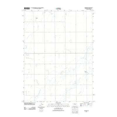
 1962 Archer1964 Print · USGSThe rail-and-river landscape of Merrick County is captured here in the early sixties as the Missouri River Basin development program was in full swing. Researchers can trace the path of the Chicago Burlington and Quincy railroad and find rural landmarks like the United Brethren Ch and Archer.
 - 1985 Map of St. Paul
 1985 St. Paul1985 Print · USGSCentral Nebraska's river valleys and rail towns are captured here in the mid-eighties, showing the region's agricultural and cultural foundations. Researchers can trace historic communities like Dannebrog, Scotia, and Nysted, or locate landmarks such as Sherman Reservoir and Happy Jack Peak.2 unique versions available
 - 2011 Map of Archer, 2011 Print
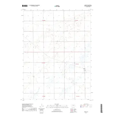
 2011 Archer2011 Print · USGSCovers Archer, including Merrick County, United States, and other nearby areas
 - 2014 Map of Archer, 2014 Print
 2014 Archer2014 Print · USGSCovers Archer, including Merrick County, United States, and other nearby areas
 - 2017 Map of Archer, 2017 Print
 2017 Archer2017 Print · USGSCovers Archer, including Merrick County, United States, and other nearby areas
 - 2021 Map of Archer, 2021 Print
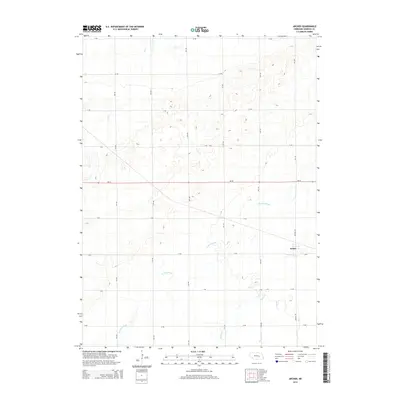
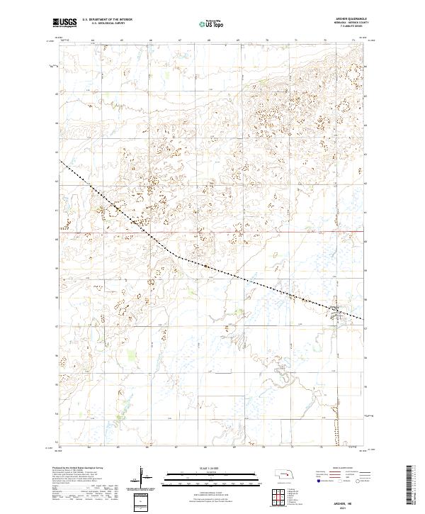 2021 Archer2021 Print · USGSArcher and the surrounding Merrick County prairie are captured here in the early twenty-first century. Researchers can trace the grid of section roads and water features like Prairie Slough, Elk Cr, and the small settlement of Archer.
End of results
Showing maps 1-9 of 9
Top cities near Archer
- Grand Island historical maps
- Central City historical maps
- Fullerton historical maps
- Palmer historical maps
- Chapman historical maps
- Marquette historical maps
See more
Frequently asked questions
- What are the different types of historical maps available for Archer?
- What is the oldest map of Archer?
- Where can I purchase historical maps of Archer for my home or office?
- Where can I download high-res historical maps of Archer?
- Are there historical topographic maps available for Archer?
- Is there historical aerial imagery available for Archer?
- Where are historical maps of Archer sourced from?