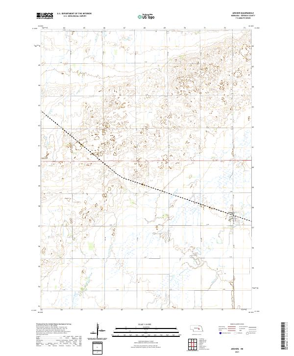
2021 Map of Archer
USGS Topo · Published 2021About this map
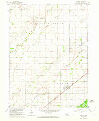
The unincorporated settlement of Archer sits near the eastern edge of this Nebraska landscape, situated along Archer Rd and Tazewell St. The terrain is defined by a dense network of watercourses and wetlands that suggest a historically high water table and a complex drainage system across Merrick County. Significant natural features include the winding path of Elk Cr in the north and the extensive Prairie Slough that meanders through the central and southern sections. The grid-based road system, labeled alphabetically and numerically such as V Rd and 9th Rd, illustrates the structured agricultural partitioning typical of the Great Plains. Water remains the dominant geographical force here, with Prairie Cr and Moores Cr cutting through the low-lying prairie land, likely influencing the placement of original farmsteads and transport routes.
Find a feature on this map
27 named features on this map. Tap any name to fly to it.
Don’t see what you’re looking for? This feature index may not catch every label — zoom into the map to look around manually.
Map Details
Editions of this 2021 Archer Map
This is the sole edition of this map. No revisions or reprints were ever made.
Other maps of this area

1899 · St. Paul
USGS Topo · 1:125,000

1955 · Belgrade SW
USGS Topo · 1:24,000

1955 · Broken Bow
USGS Topo · 1:250,000

1955 · Belgrade SE
USGS Topo · 1:24,000

1955 · Cushing
USGS Topo · 1:24,000

1956 · Broken Bow
USGS Topo · 1:250,000
1961 · Palmer
USGS Topo · 1:24,000
1961 · St. Libory
USGS Topo · 1:24,000
1962 · Central City West
USGS Topo · 1:24,000
1962 · Chapman
USGS Topo · 1:24,000