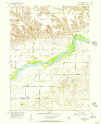
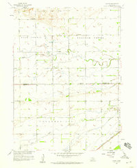
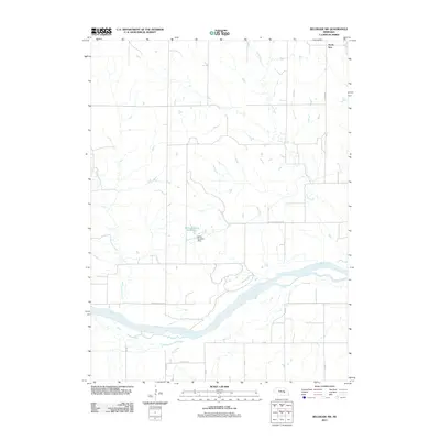
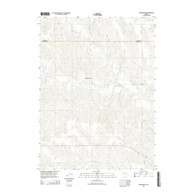
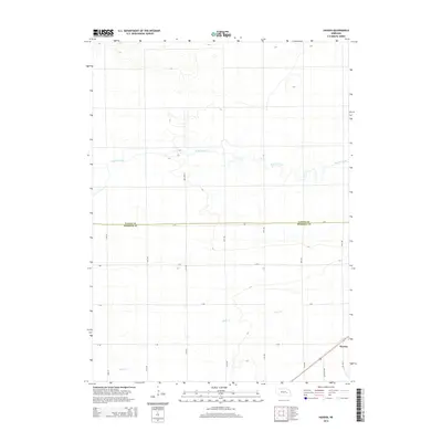
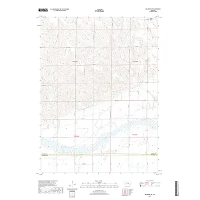
1955 Map of Belgrade SE
USGS Topo · Published 1956About this map
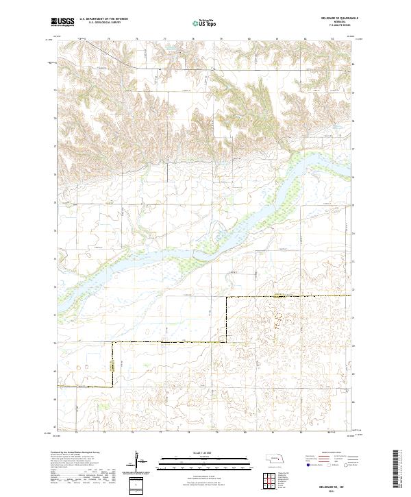
The Loup River and its tributary, the West Loup River, dominate this mid-century Nebraska landscape, where the braided river channels carve through the terrain of West Newman and Mead. A defining historical feature is the Old Indian Reservation Boundary which runs east-to-west across the lower half of the map, marking a significant legal and cultural line in the development of Nance and Merrick Counties. The rural infrastructure is remarkably dense with educational landmarks, including School No 19, School No 16, and the Liberty Knoll Sch. These small, numbered school districts, alongside the South Side Ch, highlight the community structure of the era. The presence of Loup Ferry in the north indicates historical transit points along the river bluffs, while the confluence of Horse Creek near the river banks shows the natural drainage patterns that shaped local agricultural boundaries.
Find a feature on this map
19 named features on this map. Tap any name to fly to it.
Don’t see what you’re looking for? This feature index may not catch every label — zoom into the map to look around manually.
Map Details
Editions of this 1955 Belgrade SE Map
This is the sole edition of this map. No revisions or reprints were ever made.
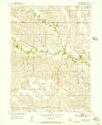
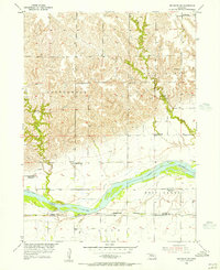
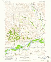
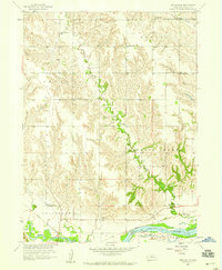
Historical Maps of Merrick County Through Time
30 maps found
1954 Belgrade NW
Nance County, NE
1955 Belgrade SE
Nance County, NE
1955 Belgrade SW
Nance County, NE
1958 Fullerton NE
Nance County, NE
1958 Havens
Nance County, NE
1958 Merchiston
Nance County, NE
2011 Belgrade NW
Nance County, NE
2011 Belgrade SE
Nance County, NE
2011 Belgrade SW
Nance County, NE
2011 Fullerton NE
Nance County, NE
2011 Havens
Nance County, NE
2011 Merchiston
Nance County, NE
2014 Belgrade NW
Nance County, NE
2014 Belgrade SE
Nance County, NE
2014 Belgrade SW
Nance County, NE
2014 Fullerton NE
Nance County, NE
2014 Havens
Nance County, NE
2014 Merchiston
Nance County, NE
2017 Belgrade NW
Nance County, NE
2017 Belgrade SE
Nance County, NE
2017 Belgrade SW
Nance County, NE
2017 Fullerton NE
Nance County, NE
2017 Havens
Nance County, NE
2017 Merchiston
Nance County, NE
2021 Belgrade NW
Nance County, NE
2021 Belgrade SE
Nance County, NE
2021 Belgrade SW
Nance County, NE
2021 Fullerton NE
Nance County, NE
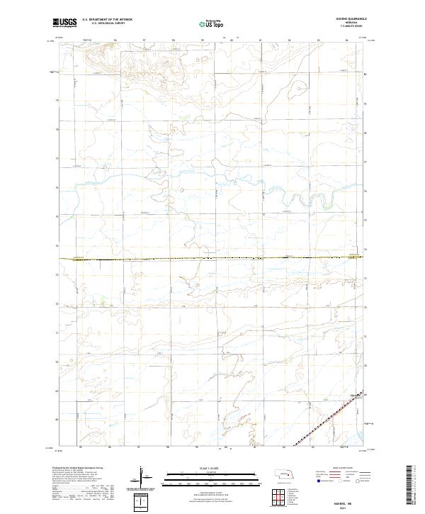
2021 Havens
Nance County, NE
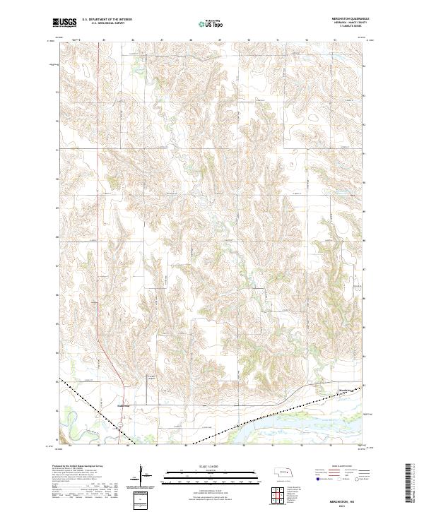
2021 Merchiston
Nance County, NE