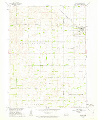
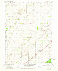
1961 Map of Palmer
USGS Topo · Published 1963About this map
Palmer sits as the primary rail-connected settlement at the crossing of the Chicago Burlington and Quincy railroad, serving as a hub for the surrounding agricultural landscape of eastern Nebraska. The township grid is well-defined, dotted with evidence of early rural community infrastructure such as School No 64, School No 19, and School No 39, which were essential landmarks in these townships during the early 1960s. The terrain is shaped by the subtle drainage of Elk Creek and the broader reaches of Prairie Creek and Gage Valley. A notable feature for genealogists is the Rose Hill Cem located just west of the town center. The inclusion of numerous wells and specific fence lines, derived from 1957 aerial photography, offers a unique view of how land was partitioned and managed during this era of Missouri River Basin development.
Find a feature on this map
14 named features on this map. Tap any name to fly to it.
Don’t see what you’re looking for? This feature index may not catch every label — zoom into the map to look around manually.
Map Details
Editions of this 1961 Palmer Map
This is the sole edition of this map. No revisions or reprints were ever made.
Other maps of this area

1899 · St. Paul
USGS Topo · 1:125,000

1955 · Belgrade SW
USGS Topo · 1:24,000

1955 · Broken Bow
USGS Topo · 1:250,000

1955 · Wolbach SW
USGS Topo · 1:24,000

1955 · Cushing
USGS Topo · 1:24,000

1956 · Broken Bow
USGS Topo · 1:250,000
1960 · St. Paul
USGS Topo · 1:24,000
1961 · St. Paul SW
USGS Topo · 1:24,000
1961 · St. Libory
USGS Topo · 1:24,000
1962 · Chapman
USGS Topo · 1:24,000