Old Maps of Fullerton, Nebraska for Academic Research
Study the evolution of Fullerton with 15 high-resolution historic maps. Whether you're teaching, researching, or modeling changes in land use, these maps provide essential visual documentation of urban, environmental, and geographic change.
- Analyze long-term change: Track patterns in development, transportation, and natural features.
- Ideal for environmental or urban studies: Support academic projects with primary historical map data.
- Use in the classroom or lab: Educators and researchers rely on these maps to bring historical context to life.
These maps are a powerful tool for teaching, research, and visualizing how Fullerton has changed over the decades.
Fullerton, NE maps
(15)- 1896 Map of Stromsburg
 1896 Stromsburg1896 Print · USGSEast-central Nebraska comes into focus during the late nineteenth-century rail boom, following the vital corridors of the Platte and Loup Rivers. Researchers can trace early township developments and the paths of the Union Pacific R. R. through Stromsburg, Fullerton, and Central City.5 unique versions available
 - 1955 Map of Fremont, 1966 Print
 1955 Fremont1966 Print · USGSEastern Nebraska and the Missouri River border are captured during the mid-fifties, just as the interstate system began to emerge. Researchers can trace the development of Omaha, locate the sprawling Offutt Air Force Base, or study the river-bound ecology of the De Soto National Wildlife Refuge.3 unique versions available
 - 1957 Map of Fremont
 1957 Fremont1957 Print · USGSEastern Nebraska and western Iowa thrive along the Platte and Missouri rivers during the mid-fifties. Genealogists can locate small rural schools like Fairview School and tracing the paths of the Union Pacific through towns like Albion and Humphrey.
 - 1958 Map of Fremont
 1958 Fremont1958 Print · USGSEastern Nebraska in the late fifties is captured here as a thriving corridor of river-valley commerce and rail transport. Researchers can trace the development of Omaha and Fremont or locate local landmarks like Midland College and Offutt Air Force Base.
 - 1958 Map of Merchiston, 1959 Print
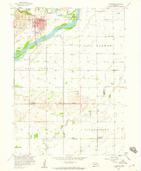
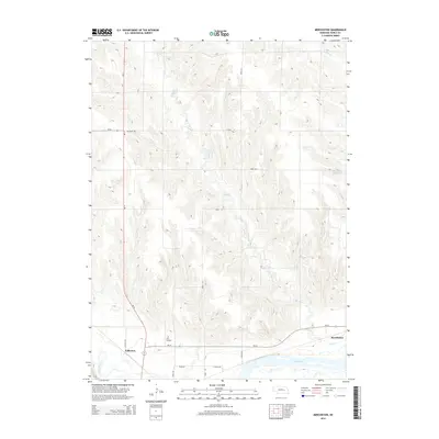
 1958 Merchiston1959 Print · USGSNance County at the end of the fifties shows a landscape of river-bottom agriculture and rural school districts. Genealogists can trace family farmsteads near Merchiston or locate local landmarks like Rose Dale Sch and Camp Landing Field.
 - 1958 Map of Fullerton, 1959 Print
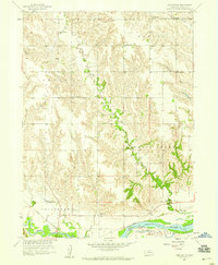
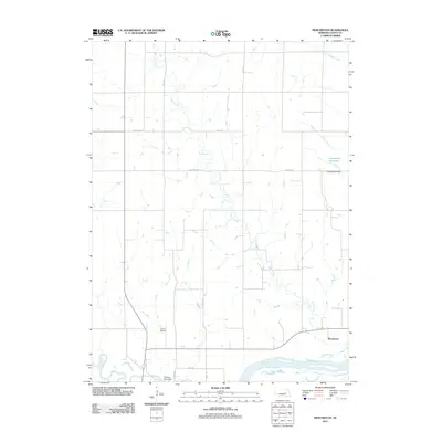
 1958 Fullerton1959 Print · USGSFullerton and its surrounding river valleys are captured here in the late fifties, showing the area's transition from small rural districts. Genealogists can locate family landmarks like Pierce Chapel, the Bureau Cemetery, and several one-room schoolhouses like Red Top Sch.
 - 1985 Map of David City
 1985 David City1985 Print · USGSCentral Nebraska in the mid-eighties centers on the convergence of the Platte River and Loup River. Trace the rail-and-river economy through towns like Columbus, David City, and Stromsburg, or locate family sites near Swedehome and Surprise.2 unique versions available
 - 2011 Map of Fullerton, 2011 Print
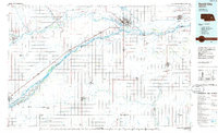
 2011 Fullerton2011 Print · USGSCovers Fullerton, including Merrick County, Nance County, and other nearby areas
 - 2011 Map of Merchiston, 2011 Print
 2011 Merchiston2011 Print · USGSCovers Fullerton, including Merchiston, Nance County, and other nearby areas
 - 2014 Map of Fullerton, 2014 Print
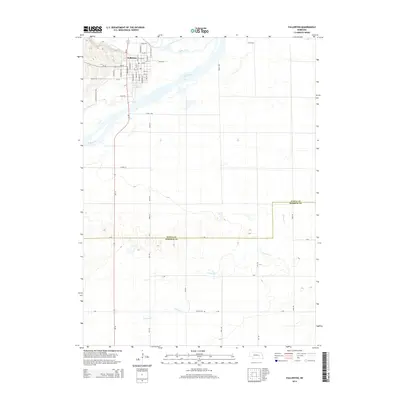 2014 Fullerton2014 Print · USGSCovers Fullerton, including Merrick County, Nance County, and other nearby areas
 - 2014 Map of Merchiston, 2014 Print
 2014 Merchiston2014 Print · USGSCovers Fullerton, including Merchiston, Nance County, and other nearby areas
 - 2017 Map of Merchiston, 2017 Print
 2017 Merchiston2017 Print · USGSCovers Fullerton, including Merchiston, Nance County, and other nearby areas
 - 2017 Map of Fullerton, 2017 Print
 2017 Fullerton2017 Print · USGSCovers Fullerton, including Merrick County, Nance County, and other nearby areas
 - 2021 Map of Fullerton, 2021 Print
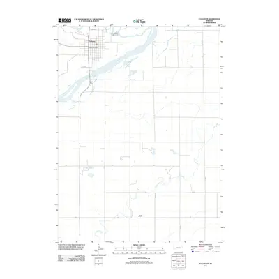
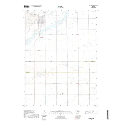
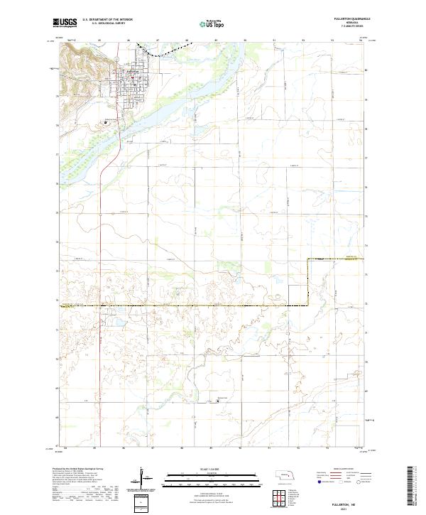 2021 Fullerton2021 Print · USGSFullerton and the surrounding Nebraska farm country are captured here at the start of the 2020s where the Cedar and Loup Rivers meet. Genealogists can locate family burial sites at Fullerton Cem and Bureau Cem or trace the early town grid near the PO.
 - 2021 Map of Merchiston, 2021 Print
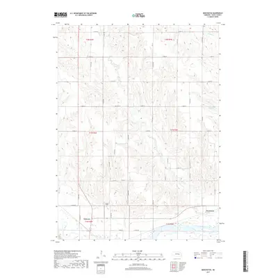
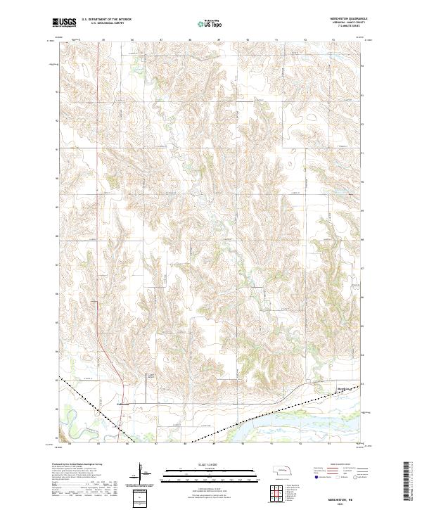 2021 Merchiston2021 Print · USGSNance County, Nebraska, is captured here in its modern agricultural and riverine context. Genealogists and local historians can trace the areas around Fullerton and Merchiston, or locate landmarks like Hasselbach Reservoir and the Camp Airport.
End of results
Showing maps 1-15 of 15
Top cities near Fullerton
- Cedar Rapids historical maps
- Clarks historical maps
- Timber Creek historical maps
- Belgrade historical maps
- Archer historical maps
Frequently asked questions
- What are the different types of historical maps available for Fullerton?
- What is the oldest map of Fullerton?
- Where can I purchase historical maps of Fullerton for my home or office?
- Where can I download high-res historical maps of Fullerton?
- Are there historical topographic maps available for Fullerton?
- Is there historical aerial imagery available for Fullerton?
- Where are historical maps of Fullerton sourced from?