Old Maps of Johnson, Nebraska for Academic Research
Study the evolution of Johnson with 19 high-resolution historic maps. Whether you're teaching, researching, or modeling changes in land use, these maps provide essential visual documentation of urban, environmental, and geographic change.
- Analyze long-term change: Track patterns in development, transportation, and natural features.
- Ideal for environmental or urban studies: Support academic projects with primary historical map data.
- Use in the classroom or lab: Educators and researchers rely on these maps to bring historical context to life.
These maps are a powerful tool for teaching, research, and visualizing how Johnson has changed over the decades.
Johnson, NE maps
(19)- 1915 Map of Howe
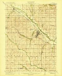 1915 Howe1915 Print · USGSSoutheast Nebraska’s agricultural heartland is documented here just before the First World War, centered on the growing rail hub of Auburn. Researchers can trace early rural life through dozens of named country schoolhouses like Grand Prairie School and local shipping points such as Borton Siding.2 unique versions available
 - 1955 Map of Nebraska City, 1967 Print
 1955 Nebraska City1967 Print · USGSThe four-state region surrounding the Missouri River valley appears here in the mid-1950s, a landscape of rail-dependent market towns and rural school districts. Genealogists can locate family landmarks like the Rock Bluff School, St Oswald Church, and the Clarinda State Hospital.3 unique versions available
 - 1955 Map of Lincoln, 1967 Print
 1955 Lincoln1967 Print · USGSSoutheast Nebraska in the mid-fifties presents a landscape of thriving railroad towns and the expanding footprint of the capital city. Researchers can trace the legacy of the pioneer era at the Homestead National Monument of America or locate mid-century military infrastructure like Lincoln Air Force Base.5 unique versions available
 - 1957 Map of Nebraska City
 1957 Nebraska City1957 Print · USGSThe four-state junction of Nebraska, Iowa, Missouri, and Kansas comes alive in this mid-fifties survey of the Missouri River valley. Genealogists and historians can trace the rail-and-road networks connecting Nebraska City, Maryville, and the Squaw Creek National Wildlife Refuge.
 - 1957 Map of Lincoln
 1957 Lincoln1957 Print · USGSSoutheastern Nebraska at mid-century shows a landscape of thriving rail towns and expanding infrastructure centered on Lincoln. Researchers can trace the path of the Chicago Burlington and Quincy railroad through communities like Weeping Water, Fairmont, and Seward.
 - 1958 Map of Lincoln
 1958 Lincoln1958 Print · USGSSoutheast Nebraska at the end of the 1950s shows a region defined by agricultural trade and the expansion of the state capital. Genealogists can trace family footprints across the Blue Valley and locate landmarks like the Lincoln AFB or the U.S. Veterans Hospital.
 - 1958 Map of Nebraska City
 1958 Nebraska City1958 Print · USGSThe Missouri River Valley and its fertile four-state borderlands are captured here during the mid-century expansion of the regional highway and rail networks. Genealogists can trace family roots through numerous rural landmarks like Moulton School, Shady Grove Church, and the Clarinda State Hospital.
 - 1966 Map of Tecumseh NE, 1967 Print
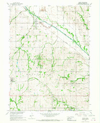
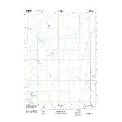
 1966 Tecumseh NE1967 Print · USGSThe rural intersection of Johnson and Nemaha counties in the mid-1960s highlights a landscape of family farms and active rail lines. Researchers can find precise locations for Spring Creek Sch No 21, Zion Ch, and the St Matthews Cem.
 - 1966 Map of Brock, 1968 Print
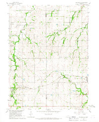
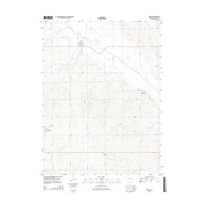
 1966 Brock1968 Print · USGSNemaha County farm country comes into focus in the mid-1960s, showing the intersection of river life and rail transit. Trace family roots at Old Glenrock Cem or locate rural landmarks like Coryell Chapel and St Pauls Ch.
 - 1986 Map of Falls City
 1986 Falls City1986 Print · USGSThe Missouri River borderlands of Nebraska and Missouri were a landscape of established colleges and river-bound railroads in the mid-1980s. Researchers can locate long-standing landmarks like Peru State College, the Iowa Indian Reservation, and St Johns Cem.2 unique versions available
 - 1986 Map of Beatrice
 1986 Beatrice1986 Print · USGSSoutheast Nebraska and the Kansas borderlands appear in the mid-1980s as a thriving agricultural region centered on the Big Blue River. Researchers can trace historic rail routes like the Burlington Northern through hubs such as Beatrice and Pawnee City.2 unique versions available
 - 2011 Map of Brock, 2011 Print
 2011 Brock2011 Print · USGSCovers Johnson, including Brock, Glenrock, and other nearby areas
 - 2011 Map of Tecumseh NE, 2011 Print
 2011 Tecumseh NE2011 Print · USGSCovers Johnson, including Johnson County, Nemaha County, and other nearby areas
 - 2014 Map of Tecumseh NE, 2014 Print
 2014 Tecumseh NE2014 Print · USGSCovers Johnson, including Johnson County, Nemaha County, and other nearby areas
 - 2014 Map of Brock, 2014 Print
 2014 Brock2014 Print · USGSCovers Johnson, including Brock, Glenrock, and other nearby areas
 - 2017 Map of Tecumseh NE, 2017 Print
 2017 Tecumseh NE2017 Print · USGSCovers Johnson, including Johnson County, Nemaha County, and other nearby areas
 - 2017 Map of Brock, 2017 Print
 2017 Brock2017 Print · USGSCovers Johnson, including Brock, Glenrock, and other nearby areas
 - 2021 Map of Brock, 2021 Print
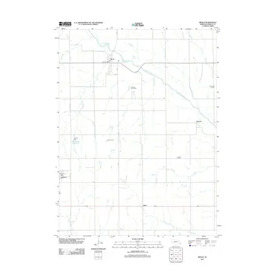
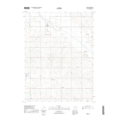
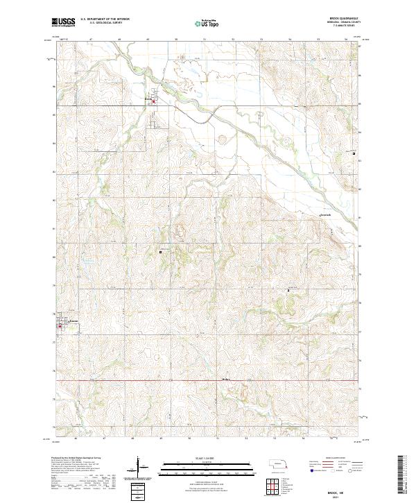 2021 Brock2021 Print · USGSSoutheastern Nebraska’s agricultural heartland is documented here in the early 2020s, centered on the river valley around Brock. Local historians can trace family locations near Glenrock Cem or Clifton Cem, and follow the drainages of Houchen Cr and Longs Cr.
 - 2021 Map of Tecumseh NE, 2021 Print
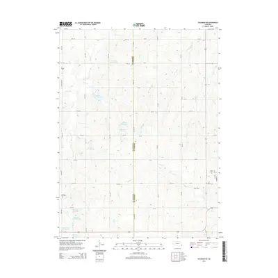
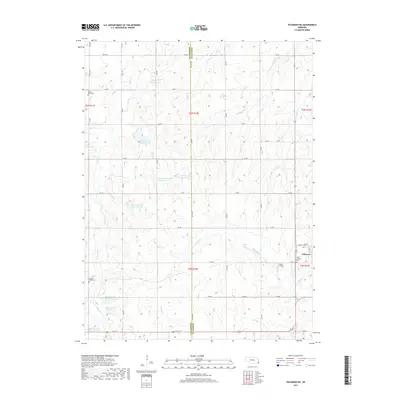
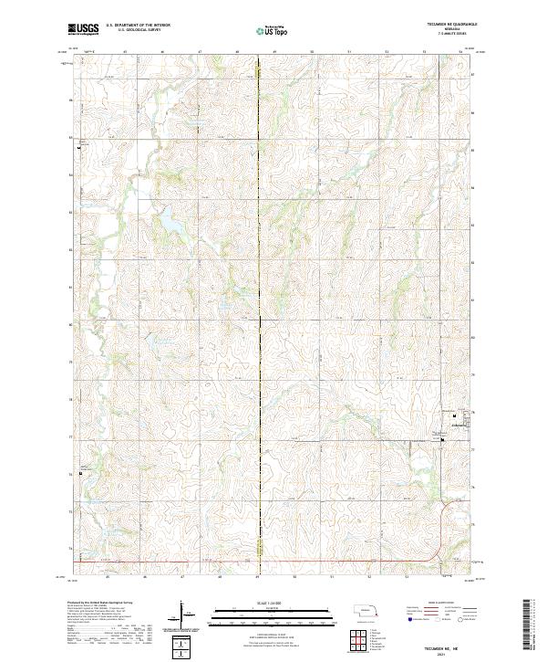 2021 Tecumseh NE2021 Print · USGSThe borderlands of Johnson and Nemaha Counties are captured here in the early 2020s, showcasing a landscape of structured agricultural management. Researchers can trace family history at Spring Creek Cem or Johnson Cem and locate local landmarks like Ensor Field.
End of results
Showing maps 1-19 of 19
Top cities near Johnson
- Auburn historical maps
- Tecumseh historical maps
- Cook historical maps
- Talmage historical maps
- Stella historical maps
- Brock historical maps
See more
Frequently asked questions
- What are the different types of historical maps available for Johnson?
- What is the oldest map of Johnson?
- Where can I purchase historical maps of Johnson for my home or office?
- Where can I download high-res historical maps of Johnson?
- Are there historical topographic maps available for Johnson?
- Is there historical aerial imagery available for Johnson?
- Where are historical maps of Johnson sourced from?