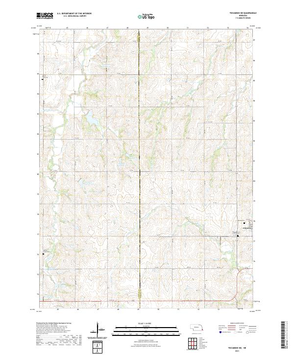
2021 Map of Tecumseh NE
USGS Topo · Published 2021About this map
Johnson anchors the eastern edge of this agricultural landscape along the border of Johnson and Nemaha Counties. The area is defined by an intricate network of drainage and water management, featuring numerous named branches and an extensive series of reservoirs such as Spring Cr Reservoir 6-A and Spring Cr Reservoir 9-4. These features illustrate the essential role of soil conservation and water control in the modern Nebraska farm economy. Genealogists will find several burial grounds across the rural sections, including the Saint Mathews Lutheran Cem and Spring Creek Cem, which speak to the century-long presence of established farming families. The terrain is carved by the winding paths of Muddy Cr and Spring Cr, while Ensor Field provides a dedicated aviation landmark in the southeastern corner near the county line.
Find a feature on this map
48 named features on this map. Tap any name to fly to it.
Don’t see what you’re looking for? This feature index may not catch every label — zoom into the map to look around manually.
Map Details
Editions of this 2021 Tecumseh NE Map
This is the sole edition of this map. No revisions or reprints were ever made.
Other maps of this area

1903 · Weeping Water
USGS Topo · 1:125,000

1907 · Nebraska City
USGS Topo · 1:62,500

1915 · Howe
USGS Topo · 1:62,500

1929 · Weeping Water
USGS Topo · 1:125,000

1955 · Nebraska City
USGS Topo · 1:250,000

1955 · Lincoln
USGS Topo · 1:250,000

1957 · Nebraska City
USGS Topo · 1:250,000

1957 · Lincoln
USGS Topo · 1:250,000

1958 · Lincoln
USGS Topo · 1:250,000

1958 · Nebraska City
USGS Topo · 1:250,000