Old Maps of Peru, Nebraska for Metal Detecting
Plan your next treasure hunt with 12 historic maps of Peru. Find old homesites, ghost towns, trails, and gathering spots that may be lost to time — perfect for identifying promising metal detecting locations.
- Locate forgotten sites: Uncover places like long-lost settlements, abandoned rail lines, or gathering spots.
- Plan better hunts: Use map overlays combined with LiDAR or satellite views to narrow in on historically rich areas.
- Made for detectorists: Thousands of hobbyists use these maps to discover relics, coins, and hidden history.
Use these historic maps to boost your research and find new opportunities beneath the surface of Peru.
Peru, NE maps
(12)- 1915 Map of Nemaha
 1915 Nemaha1915 Print · USGSThe Missouri River borderlands between Nebraska and Missouri are captured here in the years before major flood control altered the channel. Genealogists can trace family roots through dozens of rural landmarks, including Mt Vernon Cemetery, Antioch Church, and the river landing at St Deroin.2 unique versions available
 - 1939 Map of Nemaha, 1954 Print
 1939 Nemaha1954 Print · USGSThe Missouri River floodplain and the bluffs of Nebraska and Missouri are captured here just before the mid-century. Researchers can trace the path of the Chicago Burlington and Quincy railroad and find vanished locations like St Deroin, Aspinwall, and McCandless Siding.
 - 1949 Map of Nemaha
 1949 Nemaha1949 Print · USGSThe Missouri River lowlands come alive in this post-war survey of the Nebraska-Missouri border. Genealogists can trace family roots through dozens of named country schools and small rail stops like McCandless Siding and the settlement of St Deroin.
 - 1955 Map of Nebraska City, 1967 Print
 1955 Nebraska City1967 Print · USGSThe four-state region surrounding the Missouri River valley appears here in the mid-1950s, a landscape of rail-dependent market towns and rural school districts. Genealogists can locate family landmarks like the Rock Bluff School, St Oswald Church, and the Clarinda State Hospital.3 unique versions available
 - 1957 Map of Nebraska City
 1957 Nebraska City1957 Print · USGSThe four-state junction of Nebraska, Iowa, Missouri, and Kansas comes alive in this mid-fifties survey of the Missouri River valley. Genealogists and historians can trace the rail-and-road networks connecting Nebraska City, Maryville, and the Squaw Creek National Wildlife Refuge.
 - 1958 Map of Nebraska City
 1958 Nebraska City1958 Print · USGSThe Missouri River Valley and its fertile four-state borderlands are captured here during the mid-century expansion of the regional highway and rail networks. Genealogists can trace family roots through numerous rural landmarks like Moulton School, Shady Grove Church, and the Clarinda State Hospital.
 - 1966 Map of Peru, 1968 Print
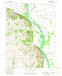 1966 Peru1968 Print · USGSThe Missouri River floodplain near the Nebraska-Missouri border comes to life in the mid-sixties, centered on the bluff-side town of Peru. Genealogists and historians can locate rural landmarks like Mt Vernon Cem, Locust Grove Sch, and the Peru State College campus.2 unique versions available
 - 1986 Map of Falls City
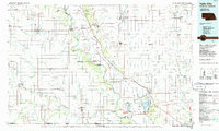 1986 Falls City1986 Print · USGSThe Missouri River borderlands of Nebraska and Missouri were a landscape of established colleges and river-bound railroads in the mid-1980s. Researchers can locate long-standing landmarks like Peru State College, the Iowa Indian Reservation, and St Johns Cem.2 unique versions available
 - 2011 Map of Peru, 2011 Print
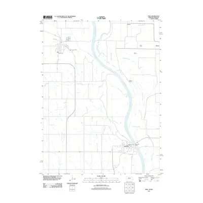 2011 Peru2011 Print · USGSThe Missouri River floodplain comes to life in this contemporary survey of the Nebraska-Missouri border region. Genealogists and historians can trace local landmarks from Mount Vernon Cemetery to the Brownville Bridge, alongside settlements like Peru and Sonora.
 - 2014 Map of Peru, 2014 Print
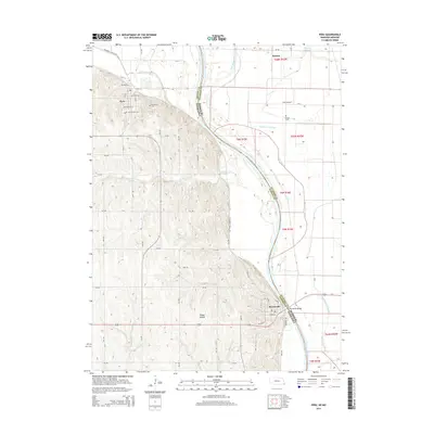 2014 Peru2014 Print · USGSThe Missouri River bluffs and bottomlands come alive in this recent survey of the Nebraska-Missouri borderlands. Genealogists and researchers can trace the streets of Peru and Brownville, locate the Peru State Coll campus, or find rural burial sites like Mt Vernon Cem.
 - 2017 Map of Peru, 2017 Print
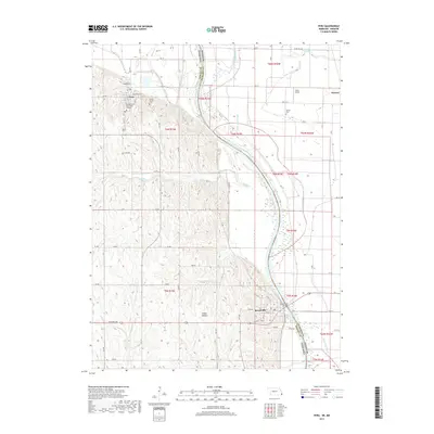 2017 Peru2017 Print · USGSThe Missouri River borderlands near Peru and Brownville are captured here in the late twenty-teens. Genealogists and local historians can locate Peru State College, the Mount Vernon Cem, and the river crossing at Brownville Bridge.
 - 2021 Map of Peru, 2021 Print
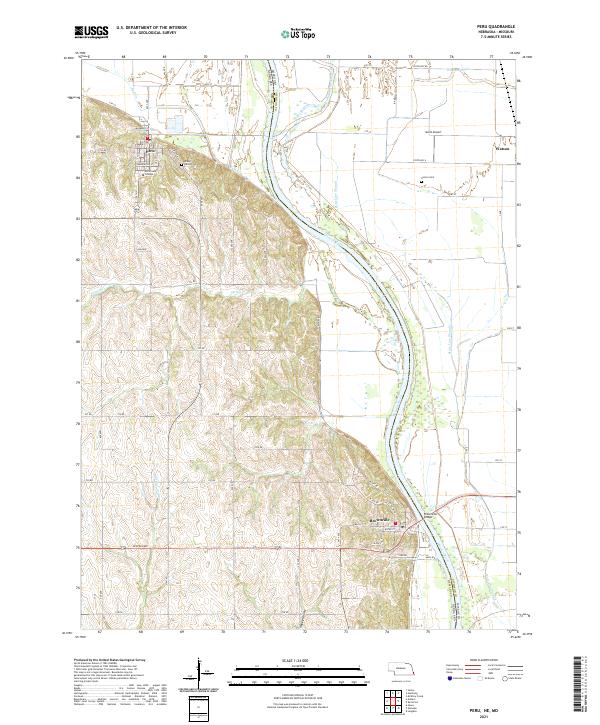 2021 Peru2021 Print · USGSThe Missouri River bluffs of Nebraska and the floodplains of Atchison County, Missouri, are captured here in the early twenty-first century. Genealogists can locate family sites at Mount Vernon Cem and Sonora Cem or trace the early campus of Peru State College.
End of results
Showing maps 1-12 of 12
Top cities near Peru
- Nebraska City historical maps
- Auburn historical maps
- Rock Port historical maps
- Hamburg historical maps
- Riverton historical maps
- Nemaha historical maps
See more
Frequently asked questions
- What are the different types of historical maps available for Peru?
- What is the oldest map of Peru?
- Where can I purchase historical maps of Peru for my home or office?
- Where can I download high-res historical maps of Peru?
- Are there historical topographic maps available for Peru?
- Is there historical aerial imagery available for Peru?
- Where are historical maps of Peru sourced from?