2020s Maps of Richardson County, Nebraska
Explore 21 historic maps of Richardson County from the 2020s. These maps offer a rare glimpse into what life looked like during the 2020s — showing old roads, neighborhoods, homes, and landmarks that have changed or disappeared over time.
Whether you're researching your family's past, planning a metal detecting trip, or studying how Richardson County's landscape evolved across the 2020s, these high-resolution maps are a powerful tool for exploring the history of this region.
- Focus on a specific era: All maps on this page are from the 2020s, giving you a focused view of this time period.
- See what’s changed: Compare century-old streets, trails, and buildings to today's modern landscape using overlays and satellite layers.
- Research with precision: Use these maps for genealogy, historical research, land use analysis, or educational projects.
- View, download, or print: Maps are fully viewable online in high resolution, and can be downloaded or printed for your own records.
Start exploring Richardson County's history through authentic maps from the 2020s. This is your window into the past.
Richardson County, NE maps
(21)- 2021 Map of Langdon, 2021 Print
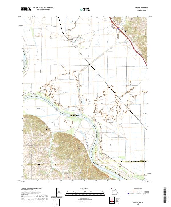 2021 Langdon2021 Print · USGSAtchison County at the Missouri-Nebraska border reveals a landscape shaped by the shifting currents of the river. Researchers can trace family history at Saint Deroin Cem or follow old watercourses like the Old Channel Nishnabotna River near Langdon.
 - 2021 Map of Corning, 2021 Print
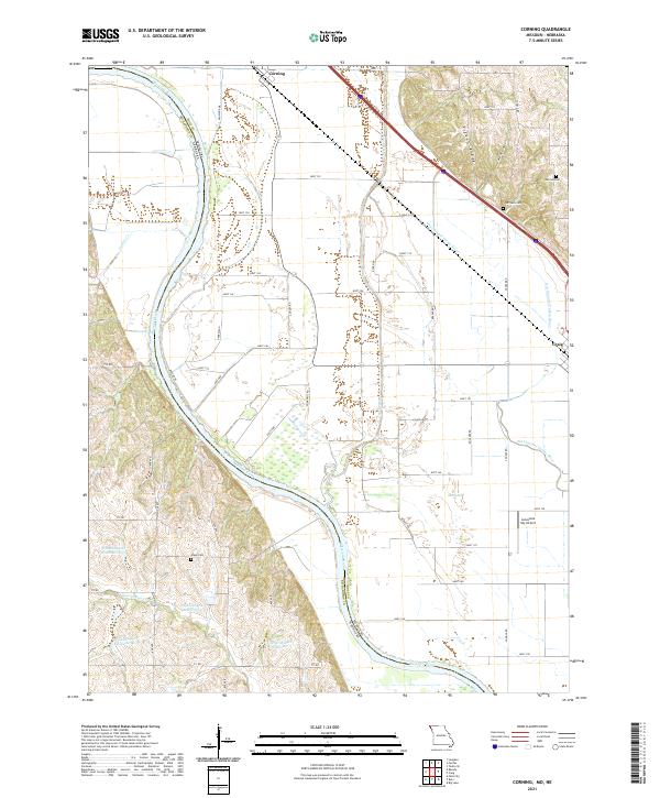 2021 Corning2021 Print · USGSThe Missouri-Nebraska borderlands along the Missouri River come into focus in this recent survey of the Holt County floodplain. Genealogists and local researchers can pinpoint family burial sites at Parrish Cem and Arago Cem or trace the winding Old Channel Tarkio River.
 - 2021 Map of Big Lake, 2021 Print
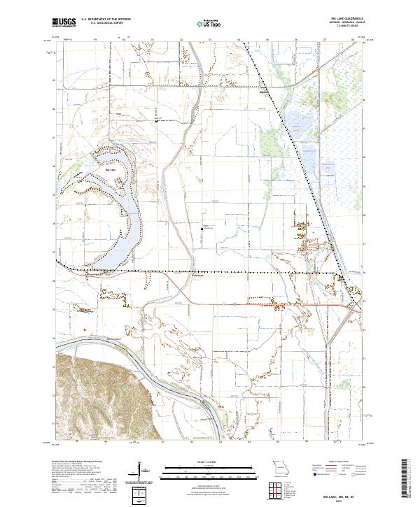
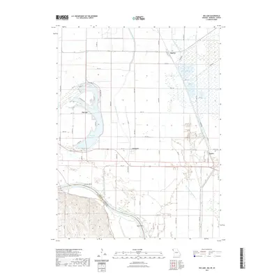 2021 Big Lake2021 Print · USGSCovers Richardson County, including Big Lake, Fortescue, and other nearby areas
 - 2021 Map of Rulo, 2021 Print
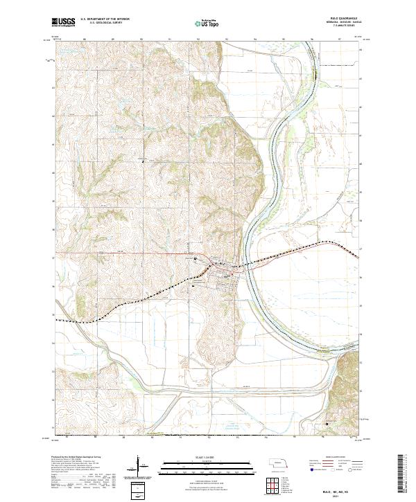 2021 Rulo2021 Print · USGSSoutheast Nebraska meets Missouri at the river bend during the early 2020s. Genealogists and local historians can trace the streets of Rulo and locate rural burial sites such as Heater Cem and Franklin Cem among the Missouri River bluffs.
 - 2021 Map of Humboldt, 2021 Print
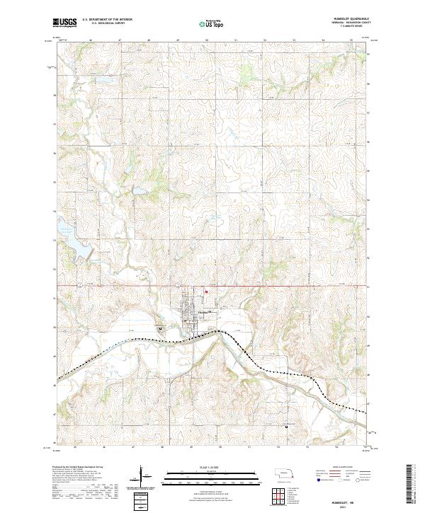 2021 Humboldt2021 Print · USGSThe town of Humboldt and the surrounding Richardson County landscape are captured here in the early twenty-first century. Genealogists can locate family sites near Humboldt Cem and Lynchburg Cem or along the banks of the North Fork Big Nemaha River.
 - 2021 Map of Howe, 2021 Print
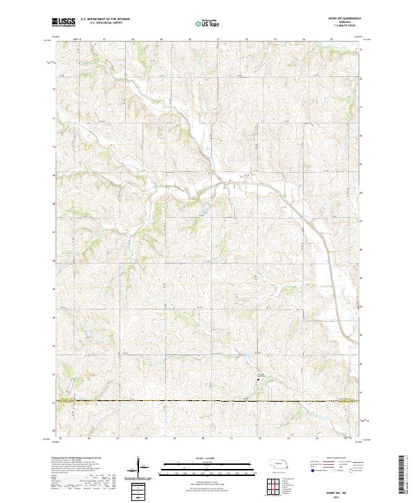
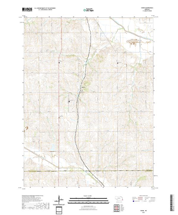 2021 Howe2021 Print · USGSSoutheast Nebraska's agricultural heartland is documented here in the early twenty-first century, centered on the settlement of Howe. Researchers can locate several rural burial grounds, including Bedford Cem and Kite Cem, alongside the winding path of Indian Cr.
 - 2021 Map of Dawson, 2021 Print
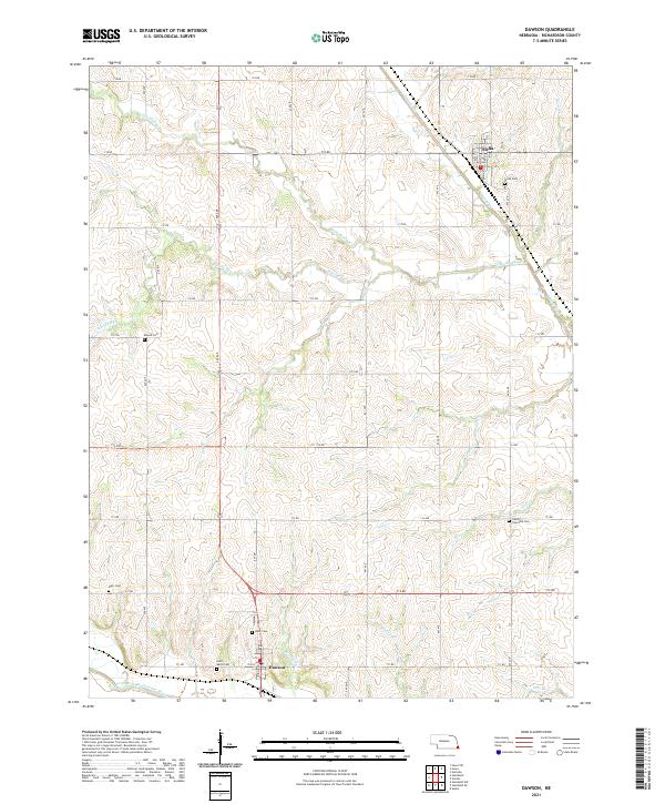 2021 Dawson2021 Print · USGSRichardson County agriculture and rural life are preserved here during the early twenty-first century, centered on the communities of Dawson and Stella. Genealogists can locate several local burial grounds, including Mound Cem, Starr Cem, and Liberty Township Cem.
 - 2021 Map of Verdon, 2021 Print
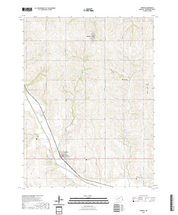 2021 Verdon2021 Print · USGSRichardson County agriculture and rural life are preserved in this recent survey of the settlements near Verdon and Shubert. Genealogists and historians can trace family locations through several burial grounds, including Verdon Cem and the Saint Annes Catholic Cem.
 - 2021 Map of Howe SW, 2021 Print
 2021 Howe SW2021 Print · USGSThe borderlands of Nemaha and Richardson counties are shown in this 2021 survey, featuring the complex drainage basins of the Muddy Creek system. Genealogists and local historians can locate family landmarks like the Pleasant View Cem and trace rural routes along 722 RD and Little Muddy Cr.
 - 2021 Map of Table Rock, 2021 Print
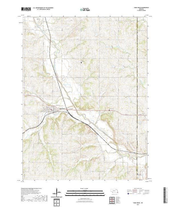 2021 Table Rock2021 Print · USGSTable Rock and the banks of the North Fork Big Nemaha River are shown here in the 2020s. Genealogists can locate family sites near Saint Johns Cem, Bohemian Cem, and the Dry Branch Pioneer Cem.
 - 2021 Map of Tecumseh SE, 2021 Print
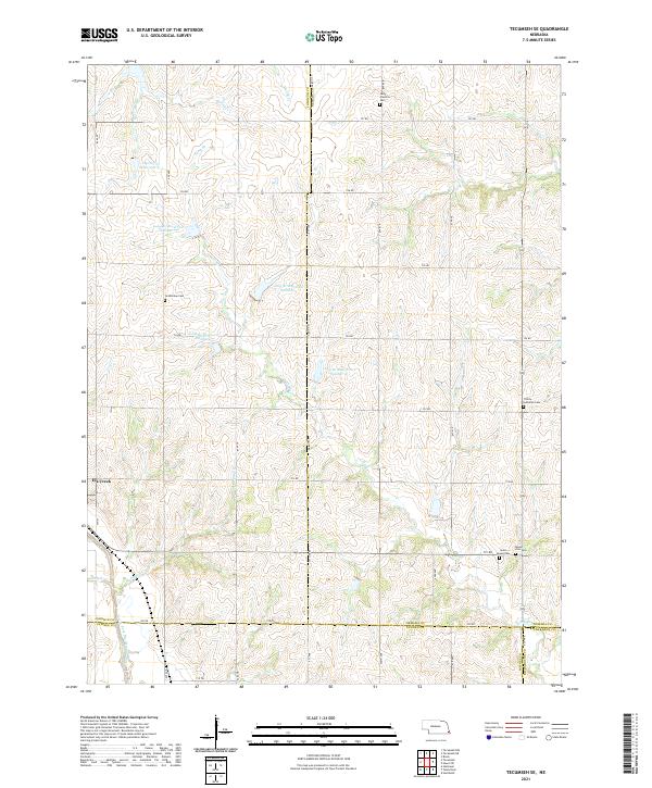 2021 Tecumseh SE2021 Print · USGSSoutheast Nebraska’s agricultural landscape is shown here in the 2020s as a network of section-line roads and watershed reservoirs. Genealogists can locate several rural burial grounds including Grandview Cem, Saint Fredrick Cem, and Trinity Lutheran Cem near Elk Creek.
 - 2021 Map of Humboldt SW, 2021 Print
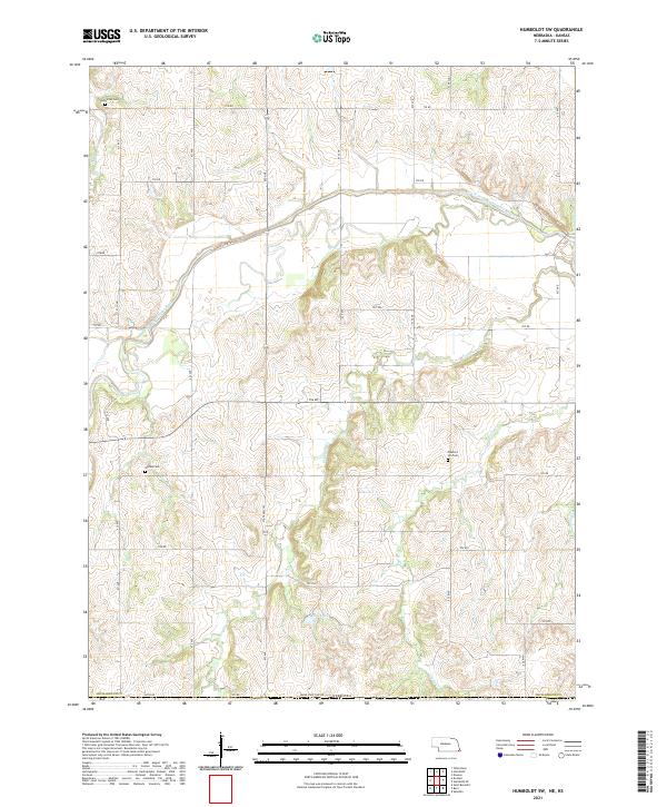 2021 Humboldt SW2021 Print · USGSRichardson County, Nebraska, near the Kansas border, maintains its traditional agricultural grid and river valley topography in this modern survey. Researchers can locate family heritage sites at Athens Cem, Bohemian Cem, and Pleasant Hill Cem along the South Fork Big Nemaha River.
 - 2021 Map of Salem, 2021 Print
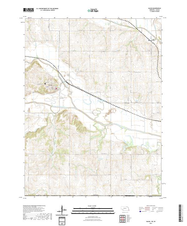 2021 Salem2021 Print · USGSThe river valleys of Richardson County come into focus in this recent survey of the Nebraska-Kansas border region. Genealogists and historians can trace the streets of Salem and Straussville, or locate family sites near Maple Cem and Wildcat Cr.
 - 2021 Map of Falls City, 2021 Print
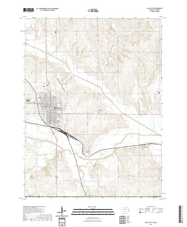 2021 Falls City2021 Print · USGSRichardson County at the start of the 2020s shows a landscape defined by the Big Nemaha River and its winding tributaries. Genealogists and local historians can locate the Richardson County Courthouse in Falls City or trace ancestors at Zion Cem and Silver Creek Cem.
 - 2021 Map of Barada, 2021 Print
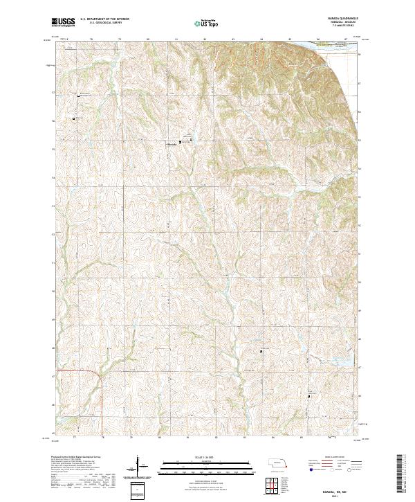 2021 Barada2021 Print · USGSRichardson County, Nebraska, near the Missouri River is documented here in the early twenty-first century. Genealogists can locate several local burial sites including Saint Anns Cem, Moorhead Cem, and Fricke Cem near the settlement of Barada.
 - 2021 Map of Nemaha, 2021 Print
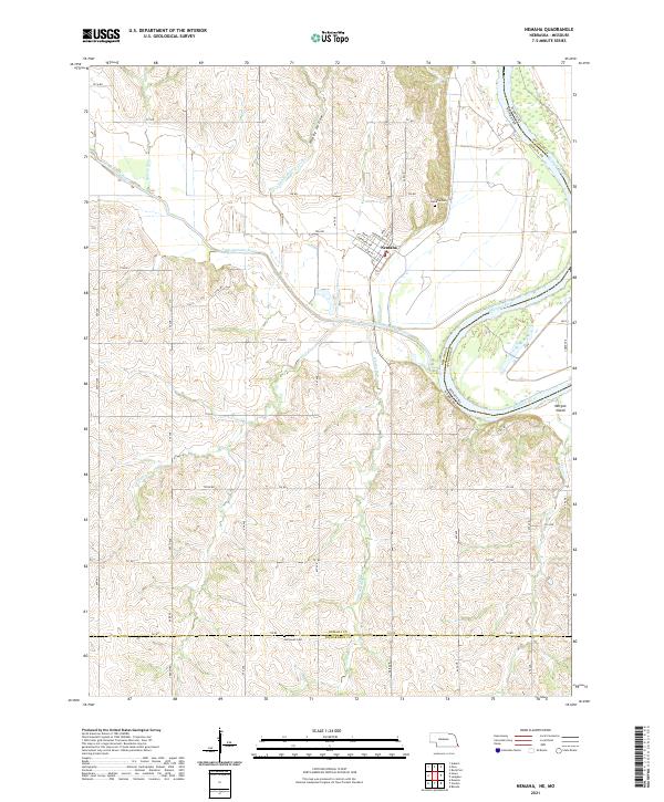 2021 Nemaha2021 Print · USGSThe bluffs and bottomlands of southeast Nebraska are captured here as they appeared in the early 2020s, centered on the village of Nemaha. Genealogists and local historians can trace the topography around Nemaha Cem and Penniwell Cem, or follow the winding Little Nemaha River to the Missouri border.
 - 2021 Map of Humboldt SE, 2021 Print
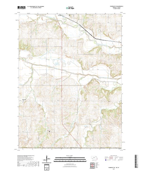 2021 Humboldt SE2021 Print · USGSRichardson County's river bottoms and rural uplands are shown in detail as they appeared in the early 2020s. Researchers can locate family heritage sites like Wild Rose Cem and Iliff Cem or trace the winding course of the North Fork Big Nemaha River.
 - 2021 Map of Du Bois, 2021 Print
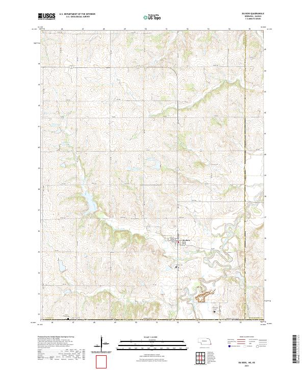 2021 Du Bois2021 Print · USGSThe village of Du Bois anchor this Nebraska borderland during the early twenty-first century as agricultural life follows the winding South Fork Big Nemaha River. Researchers can trace local heritage at DuBois Cem, Saint Peters Cem, and Cincinnati Cem.
 - 2022 Map of White Cloud, 2022 Print
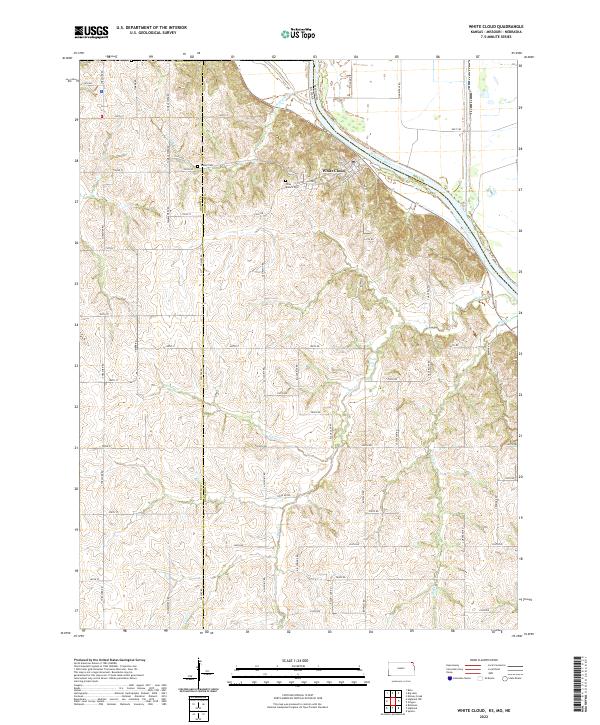 2022 White Cloud2022 Print · USGSThe riverside community of White Cloud and the rugged bluffs of the Missouri River valley are documented in this contemporary survey. Local researchers can trace family landmarks like Olive Branch Cem, Tesson Cem, and the high ridges of Chalk Bluff.
 - 2022 Map of Highland NW, 2022 Print
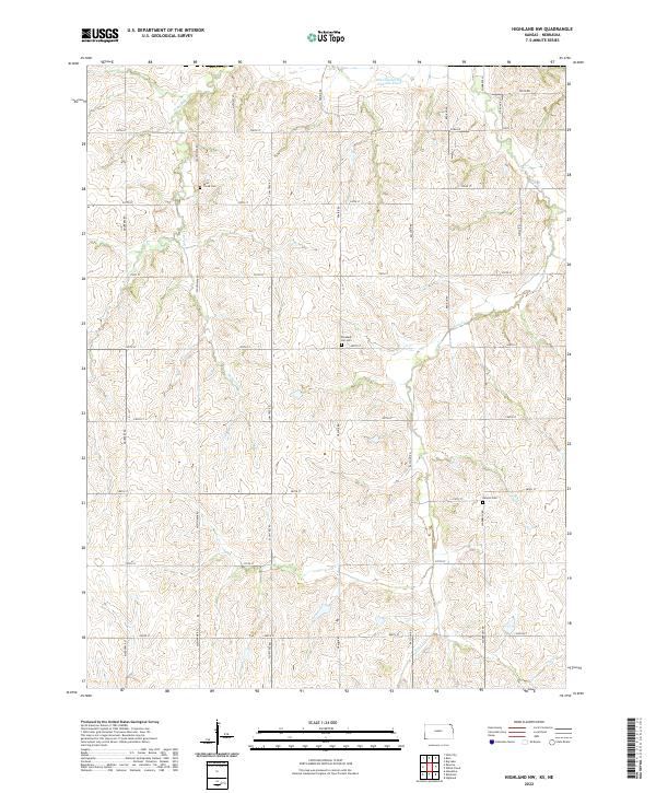 2022 Highland NW2022 Print · USGSBrown County, Kansas, is documented here in the early 2020s, showing a rural landscape defined by prairie drainages and family cemeteries. Genealogists can locate Laus Creek Cem, Pleasant Hill Cem, and Kenyon Cem along the quiet reaches of Noharts Cr.
 - 2023 Map of Big Lake, 2023 Print
 2023 Big Lake2023 Print · USGSThe Missouri River floodplain near the Nebraska border shows a landscape of former river channels and reclaimed marshlands in the early 2020s. Genealogists can locate rural burial grounds like Sauer Cem and Partlow Cem or trace the legacy of the BNSF Railway through Bigelow.
End of results
Showing maps 1-21 of 21
Top cities of Richardson County
- Falls City historical maps
- Humboldt historical maps
- Shubert historical maps
- Rulo historical maps
- Stella historical maps
- Verdon historical maps
See more
Frequently asked questions
- What are the different types of historical maps available for Richardson County?
- What is the oldest map of Richardson County?
- Where can I purchase historical maps of Richardson County for my home or office?
- Where can I download high-res historical maps of Richardson County?
- Are there historical topographic maps available for Richardson County?
- Is there historical aerial imagery available for Richardson County?
- Where are historical maps of Richardson County sourced from?