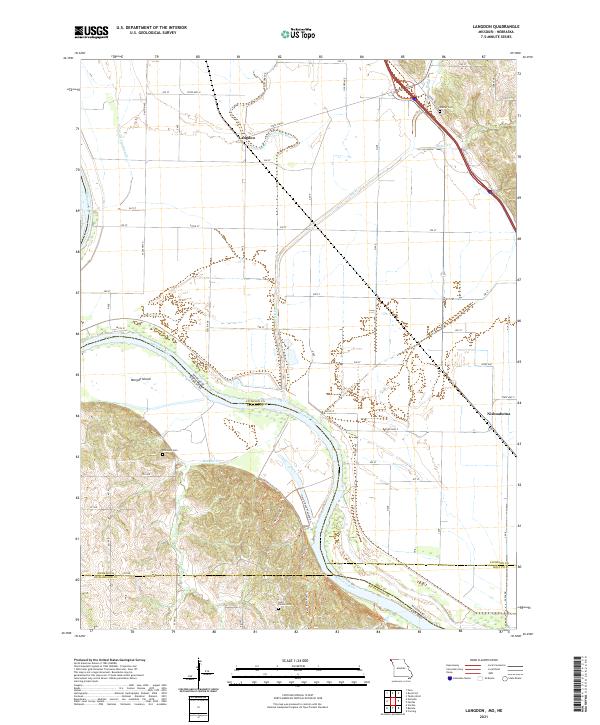
2021 Map of Langdon
USGS Topo · Published 2021About this map
The Missouri River serves as the prominent natural boundary on this map, defining the border between Missouri and Nebraska as it flows past Morgan Island. In the northern section, the settlement of Langdon sits near the Old Channel Nishnabotna River, a clear indicator of how the river system has shifted over time, leaving behind features like the State Line Slough. To the south, the community of Nishnabotna is located near the eastern edge of the river's current path.
Find a feature on this map
43 named features on this map. Tap any name to fly to it.
Don’t see what you’re looking for? This feature index may not catch every label — zoom into the map to look around manually.
Map Details
Editions of this 2021 Langdon Map
This is the sole edition of this map. No revisions or reprints were ever made.
Other maps of this area

1915 · Falls City
USGS Topo · 1:62,500

1915 · Nemaha
USGS Topo · 1:62,500

1920 · Craig
USGS Topo · 1:62,500

1936 · Fairfax
USGS Topo · 1:24,000

1939 · Tarkio
USGS Topo · 1:62,500

1939 · Nemaha
USGS Topo · 1:62,500

1940 · Tarkio
USGS Topo · 1:62,500

1941 · Tarkio
USGS Topo · 1:62,500

1949 · Nemaha
USGS Topo · 1:62,500

1955 · Nebraska City
USGS Topo · 1:250,000