2000s (21st Century) Maps of Dawson, Nebraska
Explore 8 historic maps of Dawson from the 2000s (21st Century). These maps offer a rare glimpse into what life looked like during the 2000s — showing old roads, neighborhoods, homes, and landmarks that have changed or disappeared over time.
Whether you're researching your family's past, planning a metal detecting trip, or studying how Dawson's landscape evolved across the 2000s, these high-resolution maps are a powerful tool for exploring the history of this region.
- Focus on a specific era: All maps on this page are from the 2000s, giving you a focused view of this time period.
- See what’s changed: Compare century-old streets, trails, and buildings to today's modern landscape using overlays and satellite layers.
- Research with precision: Use these maps for genealogy, historical research, land use analysis, or educational projects.
- View, download, or print: Maps are fully viewable online in high resolution, and can be downloaded or printed for your own records.
Start exploring Dawson's history through authentic maps from the 2000s. This is your window into the past.
Dawson, NE maps
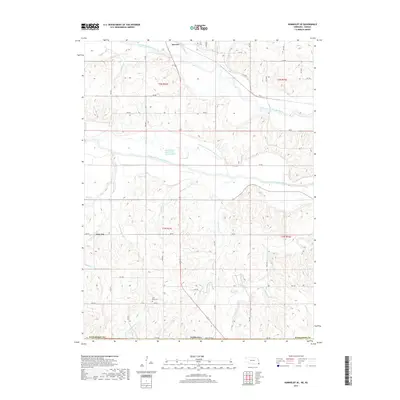
(8)- 2011 Map of Humboldt SE, 2011 Print
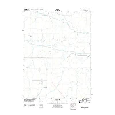 2011 Humboldt SE2011 Print · USGSCovers Dawson, including Nim City, Richardson County, and other nearby areas
 - 2011 Map of Dawson, 2011 Print
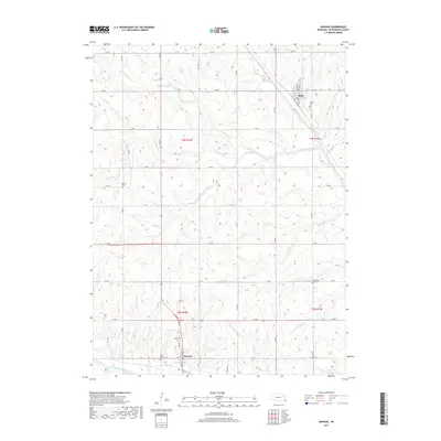
 2011 Dawson2011 Print · USGSCovers Dawson, including Stella, Richardson County, and other nearby areas
 - 2014 Map of Humboldt SE, 2014 Print
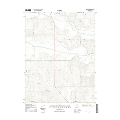 2014 Humboldt SE2014 Print · USGSCovers Dawson, including Nim City, Richardson County, and other nearby areas
 - 2014 Map of Dawson, 2014 Print
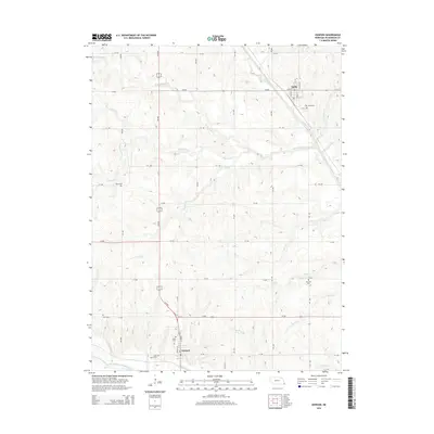 2014 Dawson2014 Print · USGSCovers Dawson, including Stella, Richardson County, and other nearby areas
 - 2017 Map of Dawson, 2017 Print
 2017 Dawson2017 Print · USGSCovers Dawson, including Stella, Richardson County, and other nearby areas
 - 2017 Map of Humboldt SE, 2017 Print
 2017 Humboldt SE2017 Print · USGSCovers Dawson, including Nim City, Richardson County, and other nearby areas
 - 2021 Map of Dawson, 2021 Print
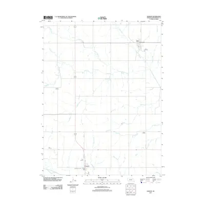
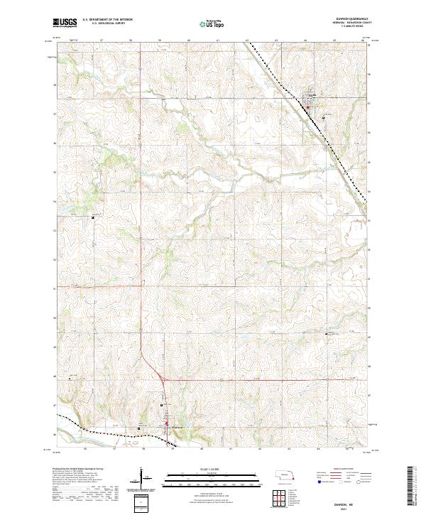 2021 Dawson2021 Print · USGSRichardson County agriculture and rural life are preserved here during the early twenty-first century, centered on the communities of Dawson and Stella. Genealogists can locate several local burial grounds, including Mound Cem, Starr Cem, and Liberty Township Cem.
 - 2021 Map of Humboldt SE, 2021 Print
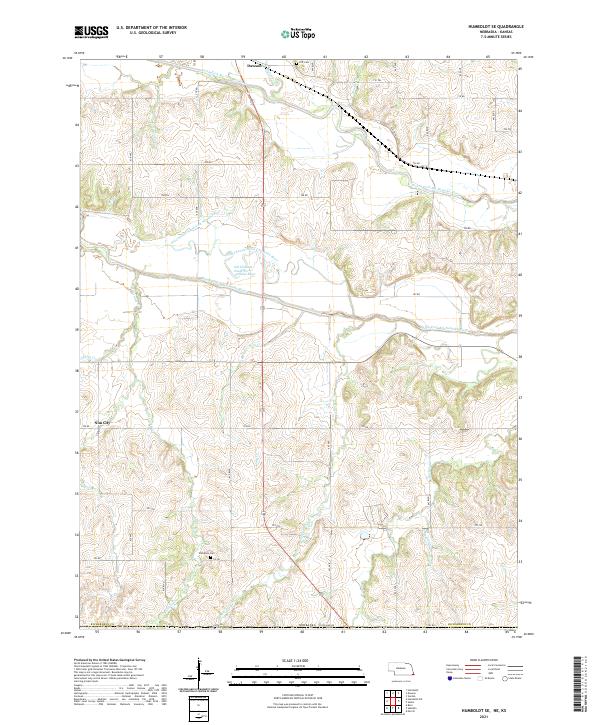 2021 Humboldt SE2021 Print · USGSRichardson County's river bottoms and rural uplands are shown in detail as they appeared in the early 2020s. Researchers can locate family heritage sites like Wild Rose Cem and Iliff Cem or trace the winding course of the North Fork Big Nemaha River.
End of results
Showing maps 1-8 of 8
Top cities near Dawson
- Falls City historical maps
- Sabetha historical maps
- Humboldt historical maps
- Berwick historical maps
- Morrill historical maps
- Shubert historical maps
See more
Frequently asked questions
- What are the different types of historical maps available for Dawson?
- What is the oldest map of Dawson?
- Where can I purchase historical maps of Dawson for my home or office?
- Where can I download high-res historical maps of Dawson?
- Are there historical topographic maps available for Dawson?
- Is there historical aerial imagery available for Dawson?
- Where are historical maps of Dawson sourced from?