Old Maps of Sybrant, Nebraska for Academic Research
Study the evolution of Sybrant with 10 high-resolution historic maps. Whether you're teaching, researching, or modeling changes in land use, these maps provide essential visual documentation of urban, environmental, and geographic change.
- Analyze long-term change: Track patterns in development, transportation, and natural features.
- Ideal for environmental or urban studies: Support academic projects with primary historical map data.
- Use in the classroom or lab: Educators and researchers rely on these maps to bring historical context to life.
These maps are a powerful tool for teaching, research, and visualizing how Sybrant has changed over the decades.
Sybrant, NE maps
(10)- 1955 Map of O'Neill, 1974 Print
 1955 O'Neill1974 Print · USGSNorth-central Nebraska in the 1950s reveals a vast cattle-ranching landscape transitioning from the Missouri River breaks to the iconic Sand Hills. Researchers can trace the path of the Chicago and North Western rail line and locate rural landmarks like the Dustin Post Office and St Johns Lake Ch.2 unique versions available
 - 1959 Map of O'Neill
 1959 O'Neill1959 Print · USGSNorth-central Nebraska in the late fifties is defined by the vast Sand Hills and the vital Chicago and North Western rail line. Genealogists and researchers can trace family roots through settlements like Atkinson, Bassett, and Stuart or follow the waters of the Niobrara River.2 unique versions available
 - 1969 Map of O'Neill
 1969 O'Neill1969 Print · USGSCentral Nebraska in the mid-fifties is defined here by the expansive Sand Hills and the winding Niobrara River. Trace the Chicago and North Western rail line through cattle towns like O'Neill and Ainsworth.
 - 1982 Map of Sybrant
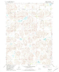 1982 Sybrant1982 Print · USGSSettlement in north-central Nebraska during the early eighties is defined by ranching and artesian water. You can trace early rural infrastructure through landmarks like Sybrant, School No 77, and the numerous Flowing Wells dotting the Holt Creek drainage.
 - 1985 Map of Rose
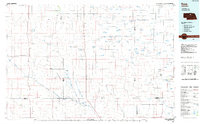 1985 Rose1985 Print · USGSNorth Central Nebraska in the mid-eighties shows a sprawling landscape of Sandhills lakes and remote ranching outposts. Genealogists and researchers can trace the rural crossroads of Rose, Duff, and Raven or locate landmarks along the Calamus River and Gracie Flats.2 unique versions available
 - 1989 Map of O'Neill
 1989 O'Neill1989 Print · USGSThe Nebraska-South Dakota borderlands are captured here in the late eighties, documenting the ranching and rail infrastructure of the High Plains. Genealogists and collectors can trace historic prairie towns like Monowi, Pishelville, and Santee along the Niobrara River.
 - 2011 Map of Sybrant, 2011 Print
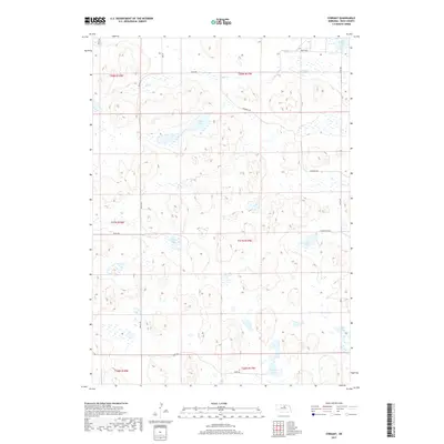
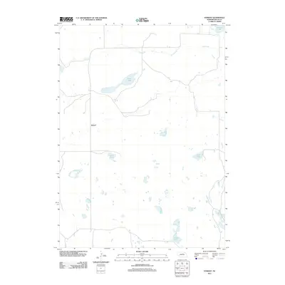 2011 Sybrant2011 Print · USGSCovers Sybrant, including Rock County, United States, and other nearby areas
 - 2014 Map of Sybrant, 2014 Print
 2014 Sybrant2014 Print · USGSCovers Sybrant, including Rock County, United States, and other nearby areas
 - 2017 Map of Sybrant, 2017 Print
 2017 Sybrant2017 Print · USGSCovers Sybrant, including Rock County, United States, and other nearby areas
 - 2021 Map of Sybrant, 2021 Print
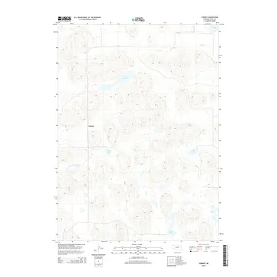
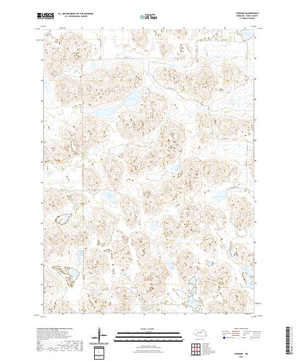 2021 Sybrant2021 Print · USGSRock County ranching country is defined here by its numerous natural basins and the straight-line grid of the Sandhills. Researchers can trace the local landscape through features like Smith Lake, Cash Lake, and the winding path of Holt Cr.
End of results
Showing maps 1-10 of 10
Frequently asked questions
- What are the different types of historical maps available for Sybrant?
- What is the oldest map of Sybrant?
- Where can I purchase historical maps of Sybrant for my home or office?
- Where can I download high-res historical maps of Sybrant?
- Are there historical topographic maps available for Sybrant?
- Is there historical aerial imagery available for Sybrant?
- Where are historical maps of Sybrant sourced from?