Old Maps of Dorchester, Nebraska for Hiking & Exploration
Hike through history with 11 historic maps of Dorchester. Explore old trails, ghost towns, and forgotten backroads — perfect for outdoor adventurers and local explorers.
- Rediscover forgotten places: Map out old mining camps, roads, and footpaths that no longer exist on modern maps.
- Layer with modern tools: Combine with LiDAR or satellite views to plan hikes through historical terrain.
- Made for exploration: Popular among hikers, overlanders, and local history lovers.
Use these maps to find adventure and explore the hidden past of Dorchester.
Dorchester, NE maps
(11)- 1935 Map of Dorchester
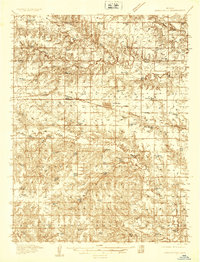 1935 Dorchester1935 Print · USGSSaline County agricultural life is frozen in time during the mid-1930s, centered on the railroad town of Dorchester. Genealogists and historians can trace dozens of country school sites like Red Brick Sch and family-named landmarks like Gilbert Cem.
 - 1940 Map of Dorchester
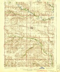 1940 Dorchester1940 Print · USGSSaline County and Seward County farm country is shown here in the mid-1930s, when small district schools and rural halls anchored every township. Genealogists can locate family landmarks like Gilbert Cem, Tabor Hall, and the West Blue Ch church.3 unique versions available
 - 1955 Map of Lincoln, 1967 Print
 1955 Lincoln1967 Print · USGSSoutheast Nebraska in the mid-fifties presents a landscape of thriving railroad towns and the expanding footprint of the capital city. Researchers can trace the legacy of the pioneer era at the Homestead National Monument of America or locate mid-century military infrastructure like Lincoln Air Force Base.5 unique versions available
 - 1957 Map of Lincoln
 1957 Lincoln1957 Print · USGSSoutheastern Nebraska at mid-century shows a landscape of thriving rail towns and expanding infrastructure centered on Lincoln. Researchers can trace the path of the Chicago Burlington and Quincy railroad through communities like Weeping Water, Fairmont, and Seward.
 - 1958 Map of Lincoln
 1958 Lincoln1958 Print · USGSSoutheast Nebraska at the end of the 1950s shows a region defined by agricultural trade and the expansion of the state capital. Genealogists can trace family footprints across the Blue Valley and locate landmarks like the Lincoln AFB or the U.S. Veterans Hospital.
 - 1964 Map of Dorchester, 1965 Print
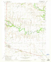 1964 Dorchester1965 Print · USGSThe rural landscape of Saline and Seward counties is captured here in the mid-1960s, centered on the settlement of Dorchester. Local historians can trace the legacy of pioneer education and community at Goldhammer Cem, Star Sch, and West Blue Ch.
 - 1985 Map of York
 1985 York1985 Print · USGSSoutheast Nebraska in the mid-1980s shows a landscape of productive plains and vital transport corridors along the Burlington Northern line. Trace the history of local institutions like Concordia Teachers College and find family sites at Greenwood Cem or Thayer Cem.2 unique versions available
 - 2011 Map of Dorchester, 2011 Print
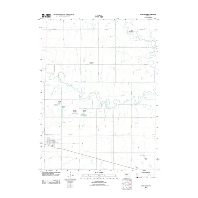 2011 Dorchester2011 Print · USGSCovers Dorchester, including Saline County, Seward County, and other nearby areas
 - 2014 Map of Dorchester, 2014 Print
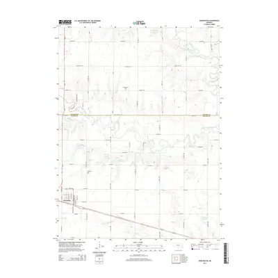 2014 Dorchester2014 Print · USGSCovers Dorchester, including Saline County, Seward County, and other nearby areas
 - 2017 Map of Dorchester, 2017 Print
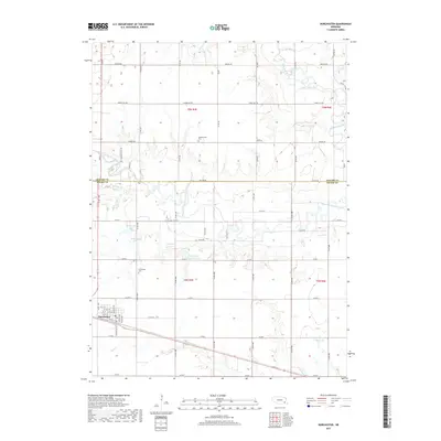 2017 Dorchester2017 Print · USGSCovers Dorchester, including Saline County, Seward County, and other nearby areas
 - 2021 Map of Dorchester, 2021 Print
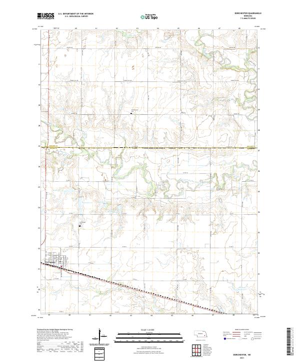 2021 Dorchester2021 Print · USGSThe borderlands of Saline and Seward counties are captured here in the early 2020s, centered on the village of Dorchester. Local researchers can trace family plots at Goldhammer Cem or follow the managed waters of the West Fork Big Blue River.
End of results
Showing maps 1-11 of 11
Top cities near Dorchester
- Crete historical maps
- Milford historical maps
- Wilber historical maps
- Friend historical maps
- Beaver Crossing historical maps
- Pleasant Dale historical maps
See more
Frequently asked questions
- What are the different types of historical maps available for Dorchester?
- What is the oldest map of Dorchester?
- Where can I purchase historical maps of Dorchester for my home or office?
- Where can I download high-res historical maps of Dorchester?
- Are there historical topographic maps available for Dorchester?
- Is there historical aerial imagery available for Dorchester?
- Where are historical maps of Dorchester sourced from?