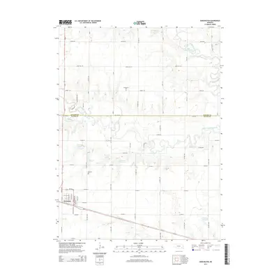
2014 Map of Dorchester
USGS Topo · Published 2014About this map
Dorchester anchors the southwestern portion of this landscape at the intersection of local routes like Washington Ave and W 11th St. The area is defined by its water management and agricultural grid, spanning the boundary between Seward Co and Saline Co. Prominent hydrological features include the Big Blue River and its West Fork, along with several engineered catchments such as Blue Bluffs Reservoir and Dorchester Reservoir 4-A. For genealogists, the map identifies two distinct burial sites: Goldhammer Cem situated along Rokeby Rd and Dorchester Cem just north of the main settlement. The terrain is marked by numerous small tributaries like Coon Cr and Otoe Cr, illustrating the drainage patterns that shaped the local townships and farmstead placements.
Find a feature on this map
35 named features on this map. Tap any name to fly to it.
Don’t see what you’re looking for? This feature index may not catch every label — zoom into the map to look around manually.
Map Details
Editions of this 2014 Dorchester Map
This is the sole edition of this map. No revisions or reprints were ever made.
Other maps of this area
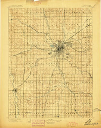
1897 · Lincoln
USGS Topo · 1:125,000
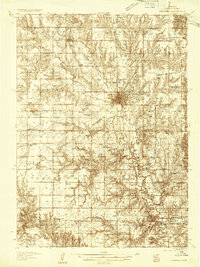
1934 · Seward
USGS Topo · 1:48,000
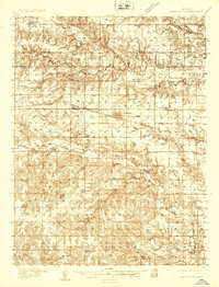
1935 · Dorchester
USGS Topo · 1:48,000
1939 · Seward
USGS Topo · 1:62,500
1940 · Dorchester
USGS Topo · 1:62,500
1955 · Lincoln
USGS Topo · 1:250,000
1957 · Lincoln
USGS Topo · 1:250,000
1958 · Lincoln
USGS Topo · 1:250,000
1964 · Pleasant Hill
USGS Topo · 1:24,000
1964 · Goehner
USGS Topo · 1:24,000