
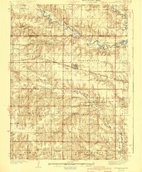
1940 Map of Dorchester
USGS Topo · Published 1940About this map
Dorchester sits at the intersection of the Chicago Burlington and Quincy railroad and a grid of rural section roads, serving as the primary hub for this agricultural landscape. The 1935 survey captures a high density of rural social infrastructure, with nearly every township section supporting its own country school, such as Flowing Well Sch, Mayflower Sch, and Diamond Sch. These small district schools, along with community gathering points like Tabor Hall and Columbus Hall, reflect the peak of the dispersed rural settlement pattern before post-war consolidation.
Find a feature on this map
79 named features on this map. Tap any name to fly to it.
Don’t see what you’re looking for? This feature index may not catch every label — zoom into the map to look around manually.
Map Details
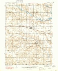
Editions of this 1940 Dorchester Map
3 editions found
Other maps of this area

1897 · Lincoln
USGS Topo · 1:125,000

1934 · Seward
USGS Topo · 1:48,000

1934 · Utica
USGS Topo · 1:62,500

1935 · Dorchester
USGS Topo · 1:48,000

1937 · Utica
USGS Topo · 1:62,500

1939 · Seward
USGS Topo · 1:62,500

1955 · Lincoln
USGS Topo · 1:250,000

1957 · Lincoln
USGS Topo · 1:250,000

1957 · Wilber
USGS Topo · 1:24,000

1958 · Lincoln
USGS Topo · 1:250,000