Old Maps of Fort Crook, Bellevue for Academic Research
Study the evolution of Fort Crook with 18 high-resolution historic maps. Whether you're teaching, researching, or modeling changes in land use, these maps provide essential visual documentation of urban, environmental, and geographic change.
- Analyze long-term change: Track patterns in development, transportation, and natural features.
- Ideal for environmental or urban studies: Support academic projects with primary historical map data.
- Use in the classroom or lab: Educators and researchers rely on these maps to bring historical context to life.
These maps are a powerful tool for teaching, research, and visualizing how Fort Crook has changed over the decades.
Fort Crook, Bellevue maps
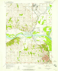
(18)- 1954 Map of Omaha, 1967 Print
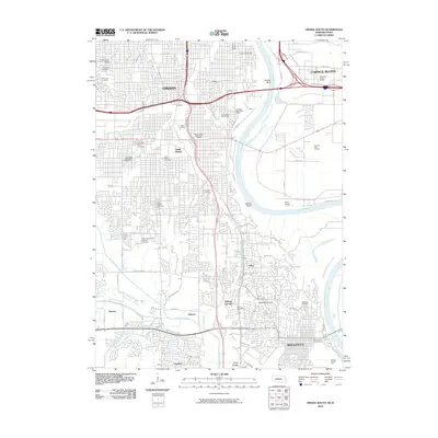
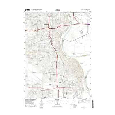
 1954 Omaha1967 Print · USGSMid-century development radiates from the river bluffs into the agricultural heartland during this period of post-war growth. Genealogists and historians can trace rail-connected towns like Atlantic and Red Oak or locate the sprawling grounds of Offutt Air Force Base and Manawa Lake.3 unique versions available
 - 1956 Map of Plattsmouth, 1958 Print
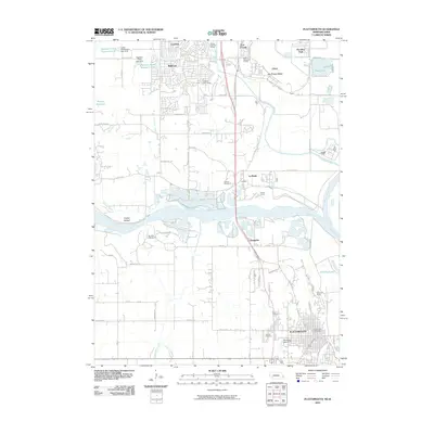
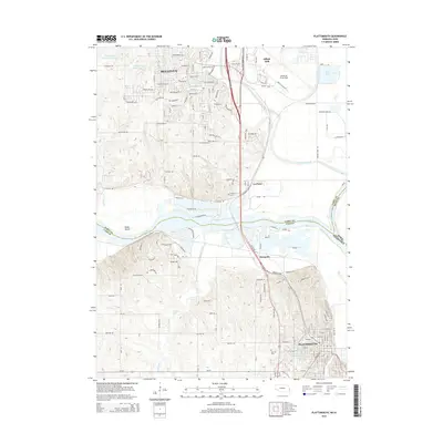
 1956 Plattsmouth1958 Print · USGSThe confluence of the Platte and Missouri rivers comes into sharp focus during the mid-fifties, showing the region's transition from river town to strategic military hub. Researchers can trace the development of Plattsmouth, find local landmarks like Oak Hill Cemetery, or locate rural schoolhouses such as Trumble Sch.5 unique versions available
 - 1956 Map of Omaha South, 1958 Print
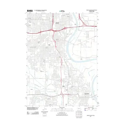
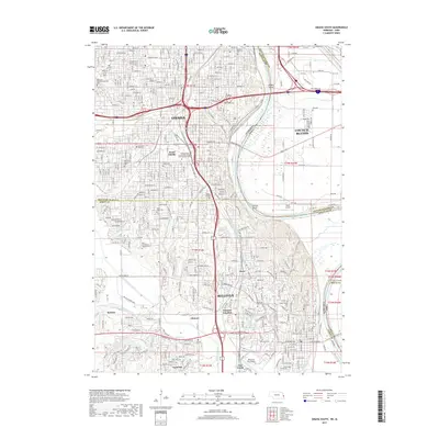
 1956 Omaha South1958 Print · USGSThe mid-century expansion of Omaha and Bellevue is captured here as neighborhoods pushed toward the Missouri River and massive rail yards. Researchers can trace family sites among dozens of landmarks like West Lawn Cemetery, Offutt Air Force Base, and South Omaha schools.6 unique versions available
 - 1957 Map of Omaha
 1957 Omaha1957 Print · USGSWestern Iowa and the Missouri River valley are seen here in the mid-fifties during the height of the rail-and-road era. Researchers can trace the sprawling rail lines of the Chicago And North Western or locate Cold War landmarks like Offutt Air Force Base.
 - 1958 Map of Omaha
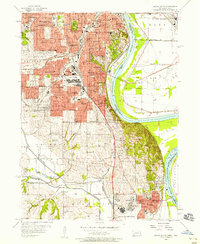
 1958 Omaha1958 Print · USGSOmaha and Council Bluffs stand at the center of this mid-fifties landscape, where the Missouri River splits the urban plains of Nebraska from the rolling hills of western Iowa. Genealogists can trace the rail lines of the Wabash RR and Illinois Central RR to rural settlements like Missouri Valley and Red Oak.2 unique versions available
 - 1985 Map of Omaha
 1985 Omaha1985 Print · USGSMid-century development and heavy rail infrastructure define the Missouri River corridor between Nebraska and Iowa. Genealogists and local historians can trace the footprints of Offutt Air Force Base, Forest Lawn Cemetery, and the Iowa School for the Deaf.2 unique versions available
 - 1994 Map of Plattsmouth
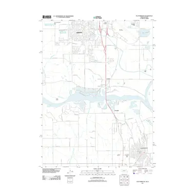
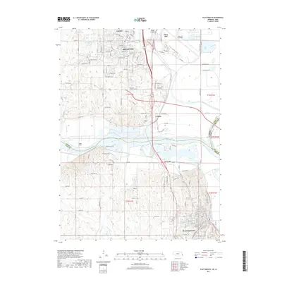
 1994 Plattsmouth1994 Print · USGSEastern Nebraska's river valley comes alive in the mid-nineties as the Platte River meets the Missouri near the growing hub of Plattsmouth. Researchers can trace the layout of Offutt Air Force Base, find family names at Oak Hill Cemetery, or locate local schools like Peter Sarpy School.
 - 1994 Map of Omaha South, 1995 Print
 1994 Omaha South1995 Print · USGSOmaha and Bellevue thrive along the Missouri River in the mid-nineties, showing a landscape defined by military aviation and dense neighborhood history. Researchers can trace local roots through numerous sites like St Johns Cem, Rosenblatt Stadium, and the extensive grounds of Offutt Air Force Base.
 - 2010 Map of Omaha South, 2010 Print
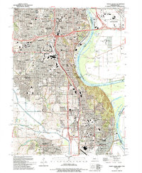
 2010 Omaha South2010 Print · USGSCovers Fort Crook, including Omaha, Council Bluffs, and other nearby areas
 - 2010 Map of Plattsmouth, 2010 Print
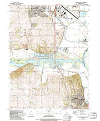
 2010 Plattsmouth2010 Print · USGSCovers Fort Crook, including Bellevue, Plattsmouth, and other nearby areas
 - 2011 Map of Plattsmouth, 2011 Print
 2011 Plattsmouth2011 Print · USGSCovers Fort Crook, including Bellevue, Plattsmouth, and other nearby areas
 - 2011 Map of Omaha South, 2011 Print
 2011 Omaha South2011 Print · USGSCovers Fort Crook, including Omaha, Council Bluffs, and other nearby areas
 - 2014 Map of Omaha South, 2014 Print
 2014 Omaha South2014 Print · USGSCovers Fort Crook, including Omaha, Council Bluffs, and other nearby areas
 - 2014 Map of Plattsmouth, 2014 Print
 2014 Plattsmouth2014 Print · USGSCovers Fort Crook, including Bellevue, Plattsmouth, and other nearby areas
 - 2017 Map of Plattsmouth, 2017 Print
 2017 Plattsmouth2017 Print · USGSCovers Fort Crook, including Bellevue, Plattsmouth, and other nearby areas
 - 2017 Map of Omaha South, 2017 Print
 2017 Omaha South2017 Print · USGSCovers Fort Crook, including Omaha, Council Bluffs, and other nearby areas
 - 2021 Map of Omaha South, 2021 Print
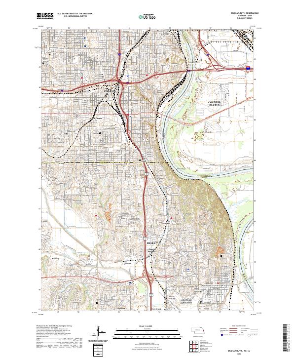 2021 Omaha South2021 Print · USGSGreater Omaha and Council Bluffs are captured here in the early twenty-first century as they span the river valley. Researchers can trace the extensive borders of Offutt Air Force Base or locate family plots in Graceland Park Cem and Bohemian Cem.
 - 2021 Map of Plattsmouth, 2021 Print
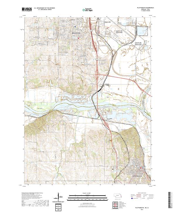 2021 Plattsmouth2021 Print · USGSThe Missouri and Platte rivers meet in this 2021 survey of the Cass and Sarpy county border. Trace local history through the Cass County Courthouse, Oak Hill Cem, and the massive military footprint of Offutt AFB.
End of results
Showing maps 1-18 of 18
Frequently asked questions
- What are the different types of historical maps available for Fort Crook?
- What is the oldest map of Fort Crook?
- Where can I purchase historical maps of Fort Crook for my home or office?
- Where can I download high-res historical maps of Fort Crook?
- Are there historical topographic maps available for Fort Crook?
- Is there historical aerial imagery available for Fort Crook?
- Where are historical maps of Fort Crook sourced from?