Old Maps of Minatare, Nebraska for Academic Research
Study the evolution of Minatare with 15 high-resolution historic maps. Whether you're teaching, researching, or modeling changes in land use, these maps provide essential visual documentation of urban, environmental, and geographic change.
- Analyze long-term change: Track patterns in development, transportation, and natural features.
- Ideal for environmental or urban studies: Support academic projects with primary historical map data.
- Use in the classroom or lab: Educators and researchers rely on these maps to bring historical context to life.
These maps are a powerful tool for teaching, research, and visualizing how Minatare has changed over the decades.
Minatare, NE maps
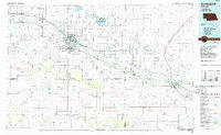
(15)- 1898 Map of Scotts Bluff
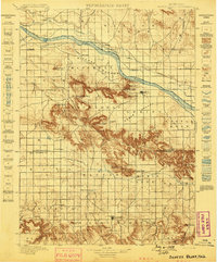 1898 Scotts Bluff1898 Print · USGSWestern Nebraska at the end of the century was a landscape of emerging irrigation and prominent landmarks. You can trace the development of early irrigation canals along the North Platte River and locate historic sites like Gering, Roubedeau Pass, and Castle Rock.5 unique versions available
 - 1898 Map of Camp Clarke
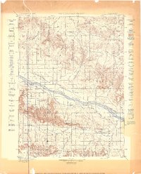 1898 Camp Clarke1898 Print · USGSThe Nebraska panhandle in the late nineteenth century is documented here through its early irrigation canals and iconic trail landmarks. Researchers can trace early settlements like Camp Clarke and Bayard alongside famous geologic features including Chimney Rock and Courthouse Rock.5 unique versions available
 - 1954 Map of Scottsbluff, 1958 Print
 1954 Scottsbluff1958 Print · USGSThe Nebraska Panhandle's iconic landmarks and rail corridors are captured here during the mid-1950s. Researchers can trace the path of the North Platte River past Chimney Rock or locate the sprawling Sioux Ordnance Depot and the historic streets of Sidney.3 unique versions available
 - 1958 Map of Scottsbluff
 1958 Scottsbluff1958 Print · USGSThe Nebraska panhandle in the late fifties was a vital corridor of rail-and-river transport defined by the North Platte River and the Union Pacific. Genealogists and historians can trace rail stops like Reddus Station, explore the grounds of the Sioux Ordnance Depot, or locate landmarks like Chimney Rock.2 unique versions available
 - 1965 Map of Minatare, 1967 Print
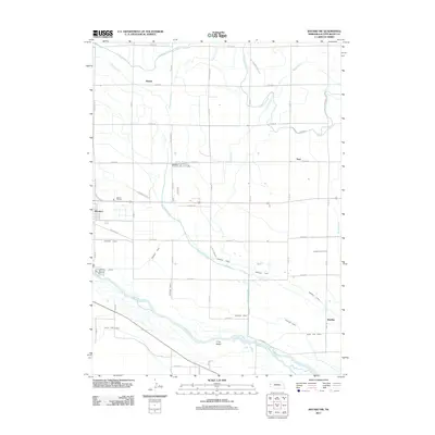
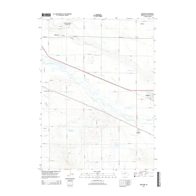
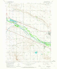 1965 Minatare1967 Print · USGSMinatare and Melbeta are shown at a peak of rail and irrigation development in the mid-1960s. Researchers can trace the path of the Emigrant Trail alongside the Union Pacific tracks or locate family landmarks like Fairview Sch and East Lawn Cem.
 - 1965 Map of Bayard SW, 1967 Print
 1965 Bayard SW1967 Print · USGSScotts Bluff County is shown in the mid-1960s as a hub of river-valley agriculture and rail transport. Genealogists and historians can trace the irrigation network and locate vanished rural landmarks like Highland Sch, the Adventist Ch, and the settlement of Clouse.2 unique versions available
 - 1985 Map of Scottsbluff, 1986 Print
 1985 Scottsbluff1986 Print · USGSThe North Platte River valley in the mid-1980s reveals a sophisticated network of irrigation and rail serving the Nebraska panhandle. Researchers can locate distinct landmarks like Chimney Rock, the campus of Nebraska Western College, and the remote settlement of Harrisburg.2 unique versions available
 - 2011 Map of Bayard SW, 2011 Print
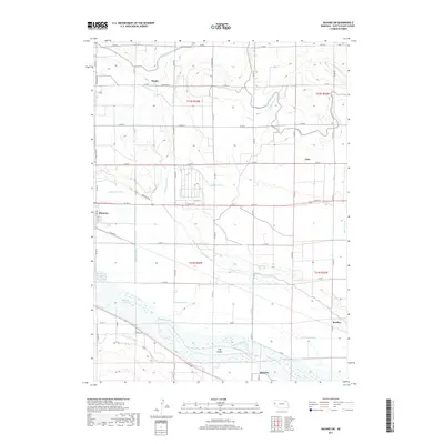
 2011 Bayard SW2011 Print · USGSCovers Minatare, including McGrew, Baxter, and other nearby areas
 - 2011 Map of Minatare, 2011 Print
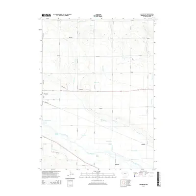
 2011 Minatare2011 Print · USGSCovers Minatare, including Melbeta, Carlson, and other nearby areas
 - 2014 Map of Bayard SW, 2014 Print
 2014 Bayard SW2014 Print · USGSCovers Minatare, including McGrew, Baxter, and other nearby areas
 - 2014 Map of Minatare, 2014 Print
 2014 Minatare2014 Print · USGSCovers Minatare, including Melbeta, Carlson, and other nearby areas
 - 2017 Map of Bayard SW, 2017 Print
 2017 Bayard SW2017 Print · USGSCovers Minatare, including McGrew, Baxter, and other nearby areas
 - 2017 Map of Minatare, 2017 Print
 2017 Minatare2017 Print · USGSCovers Minatare, including Melbeta, Carlson, and other nearby areas
 - 2021 Map of Minatare, 2021 Print
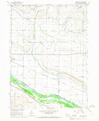
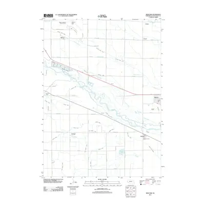
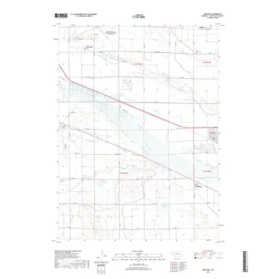
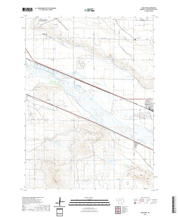 2021 Minatare2021 Print · USGSThe North Platte River valley in the early 2020s shows a sophisticated landscape of irrigation and high-plains agriculture. Trace the path of the Minatare Canal and Gering Canal through the settlements of Minatare and Melbeta.
 - 2021 Map of Bayard SW, 2021 Print
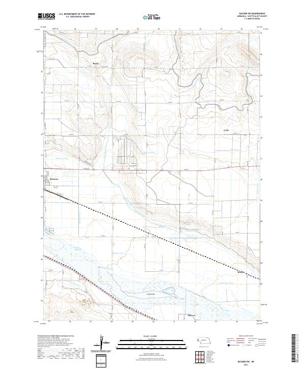 2021 Bayard SW2021 Print · USGSScotts Bluff County at the start of the 2020s shows a landscape transformed by over a century of irrigation and river management. Trace local family history and rural development near Minatare, McGrew, and the winding North Platte River or the Tri-State Canal.
End of results
Showing maps 1-15 of 15
Top cities near Minatare
- Scottsbluff historical maps
- Gering historical maps
- Bayard historical maps
- Terrytown historical maps
- Melbeta historical maps
- McGrew historical maps
Top neighborhoods of Minatare
Frequently asked questions
- What are the different types of historical maps available for Minatare?
- What is the oldest map of Minatare?
- Where can I purchase historical maps of Minatare for my home or office?
- Where can I download high-res historical maps of Minatare?
- Are there historical topographic maps available for Minatare?
- Is there historical aerial imagery available for Minatare?
- Where are historical maps of Minatare sourced from?