Old Maps of Halsey, Nebraska for Metal Detecting
Plan your next treasure hunt with 12 historic maps of Halsey. Find old homesites, ghost towns, trails, and gathering spots that may be lost to time — perfect for identifying promising metal detecting locations.
- Locate forgotten sites: Uncover places like long-lost settlements, abandoned rail lines, or gathering spots.
- Plan better hunts: Use map overlays combined with LiDAR or satellite views to narrow in on historically rich areas.
- Made for detectorists: Thousands of hobbyists use these maps to discover relics, coins, and hidden history.
Use these historic maps to boost your research and find new opportunities beneath the surface of Halsey.
Halsey, NE maps
(12)- 1948 Map of Halsey, 1973 Print
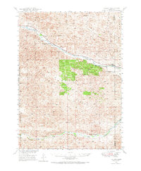 1948 Halsey1973 Print · USGSThomas and Blaine counties appear in the late 1940s as a landscape of forest plantations and river valleys. Researchers can trace the ranching economy and forest infrastructure via Halsey, the Scott Lookout Tower, and the Rose Hill Sch.
 - 1950 Map of Halsey
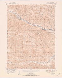 1950 Halsey1950 Print · USGSThe Nebraska Sandhills meet a massive man-made woodland in this mid-century survey of Thomas and Blaine counties. Researchers can trace the rail corridor of the Chicago Burlington and Quincy through Halsey, the Scott Lookout Tower, and the local Rose Hill Sch.2 unique versions available
 - 1954 Map of North Platte, 1968 Print
 1954 North Platte1968 Print · USGSThe Nebraska Sand Hills and the Platte River valley are captured here during a period of mid-century growth and agricultural expansion. Trace the vast irrigation network of the Sutherland Canal, locate old rural schoolhouses like Rose Hill School, and find family holdings such as Conrey Ranch.3 unique versions available
 - 1956 Map of North Platte
 1956 North Platte1956 Print · USGSThe Nebraska Sand Hills meet the high plains river valleys in the mid-1950s, a period of intensive water management and rail commerce. Genealogists and historians can trace early prairie settlements like Stapleton and Tryon, or follow the industrial corridor of the Union Pacific through North Platte.
 - 1957 Map of North Platte
 1957 North Platte1957 Print · USGSThe Nebraska Sand Hills and the Platte River valley are captured here in the mid-fifties as the ranching and irrigation economy matured. Genealogists and historians can locate family-named schoolhouses like Maire School or trace the railroad hubs at North Platte and the Fort McPherson National Cemetery.
 - 1967 Map of North Platte
 1967 North Platte1967 Print · USGSThe Nebraska Sand Hills and the Platte River valley meet in the 1960s, showing a landscape shaped by water management and rail. Genealogists can trace rural school districts like the Prairie Dell School or find landmarks like the Scott Lookout Tower and Geo P Kingsley Dam.
 - 1985 Map of Dismal River
 1985 Dismal River1985 Print · USGSCentral Nebraska's sandhills and river valleys are captured here during the mid-1980s, showing a landscape defined by the Burlington Northern railroad. Researchers can trace rural settlement patterns through places like Thedford and Dunning or find family landmarks at Shimmins Lake and Shanklin Bluff.2 unique versions available
 - 1986 Map of Halsey, 1987 Print
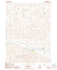 1986 Halsey1987 Print · USGSHalsey and the surrounding Sandhills landscape are captured in the mid-eighties as they straddle the Thomas and Blaine county line. Genealogists and researchers can trace local ranching history at the A L Ranch and Rodocker Ranch or explore the borders of the Nebraska National Forest.
 - 2011 Map of Halsey, 2011 Print
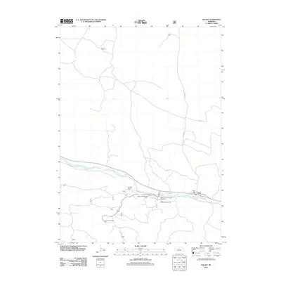 2011 Halsey2011 Print · USGSCovers Halsey, including Thomas County, Blaine County, and other nearby areas
 - 2014 Map of Halsey, 2014 Print
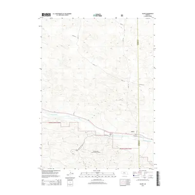 2014 Halsey2014 Print · USGSCovers Halsey, including Thomas County, Blaine County, and other nearby areas
 - 2017 Map of Halsey, 2017 Print
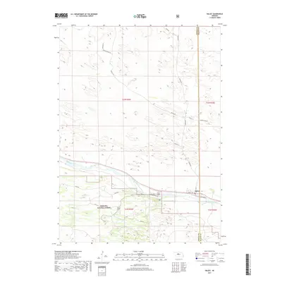 2017 Halsey2017 Print · USGSCovers Halsey, including Thomas County, Blaine County, and other nearby areas
 - 2021 Map of Halsey, 2021 Print
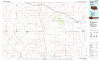
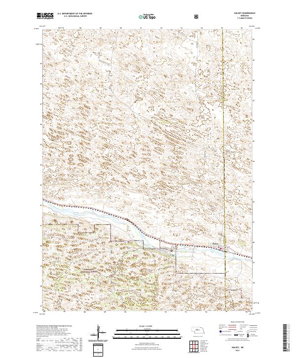 2021 Halsey2021 Print · USGSThe Nebraska Sandhills and the village of Halsey are captured here as they appeared recently. Genealogists and researchers can trace the developed landscape of the Nebraska National Forest along the Middle Loup River and find family-named routes like Rodocker Ln.
End of results
Showing maps 1-12 of 12
Top cities near Halsey
Frequently asked questions
- What are the different types of historical maps available for Halsey?
- What is the oldest map of Halsey?
- Where can I purchase historical maps of Halsey for my home or office?
- Where can I download high-res historical maps of Halsey?
- Are there historical topographic maps available for Halsey?
- Is there historical aerial imagery available for Halsey?
- Where are historical maps of Halsey sourced from?