Old Maps of Thedford, Nebraska for Academic Research
Study the evolution of Thedford with 12 high-resolution historic maps. Whether you're teaching, researching, or modeling changes in land use, these maps provide essential visual documentation of urban, environmental, and geographic change.
- Analyze long-term change: Track patterns in development, transportation, and natural features.
- Ideal for environmental or urban studies: Support academic projects with primary historical map data.
- Use in the classroom or lab: Educators and researchers rely on these maps to bring historical context to life.
These maps are a powerful tool for teaching, research, and visualizing how Thedford has changed over the decades.
Thedford, NE maps
(12)- 1948 Map of Thedford, 1963 Print
 1948 Thedford1963 Print · USGSThedford and the surrounding Sandhills appear here shortly after the war, showing the rail-and-river network that defined Thomas County. Researchers can locate family-named landmarks like Warner Bridge and rural schools including Ewoldt Sch and Albright Sch.
 - 1950 Map of Thedford
 1950 Thedford1950 Print · USGSThedford and the surrounding Sandhills are captured here at mid-century, following the winding paths of the Middle Loup River and the Dismal River. Genealogists can trace a network of family-named rural schools including Florea Sch, Ewoldt Sch, and Warner Sch.2 unique versions available
 - 1954 Map of North Platte, 1968 Print
 1954 North Platte1968 Print · USGSThe Nebraska Sand Hills and the Platte River valley are captured here during a period of mid-century growth and agricultural expansion. Trace the vast irrigation network of the Sutherland Canal, locate old rural schoolhouses like Rose Hill School, and find family holdings such as Conrey Ranch.3 unique versions available
 - 1956 Map of North Platte
 1956 North Platte1956 Print · USGSThe Nebraska Sand Hills meet the high plains river valleys in the mid-1950s, a period of intensive water management and rail commerce. Genealogists and historians can trace early prairie settlements like Stapleton and Tryon, or follow the industrial corridor of the Union Pacific through North Platte.
 - 1957 Map of North Platte
 1957 North Platte1957 Print · USGSThe Nebraska Sand Hills and the Platte River valley are captured here in the mid-fifties as the ranching and irrigation economy matured. Genealogists and historians can locate family-named schoolhouses like Maire School or trace the railroad hubs at North Platte and the Fort McPherson National Cemetery.
 - 1967 Map of North Platte
 1967 North Platte1967 Print · USGSThe Nebraska Sand Hills and the Platte River valley meet in the 1960s, showing a landscape shaped by water management and rail. Genealogists can trace rural school districts like the Prairie Dell School or find landmarks like the Scott Lookout Tower and Geo P Kingsley Dam.
 - 1985 Map of Dismal River
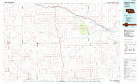 1985 Dismal River1985 Print · USGSCentral Nebraska's sandhills and river valleys are captured here during the mid-1980s, showing a landscape defined by the Burlington Northern railroad. Researchers can trace rural settlement patterns through places like Thedford and Dunning or find family landmarks at Shimmins Lake and Shanklin Bluff.2 unique versions available
 - 1986 Map of Thedford, 1987 Print
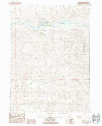 1986 Thedford1987 Print · USGSThedford and the surrounding Sandhills are shown here in the mid-eighties as a vital ranching and transportation center. Researchers can trace the layout of the town near the Middle Loup River, locating Hillcrest Cem and the nearby Fairground.
 - 2011 Map of Thedford, 2011 Print
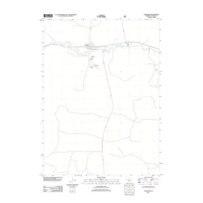 2011 Thedford2011 Print · USGSThedford and the surrounding Thomas County ranch lands are documented here in the early 21st century. Researchers can trace local heritage through Hillcrest Cemetery or locate the Thedford Post Office and the riverside Arrowhead Campground.
 - 2014 Map of Thedford, 2014 Print
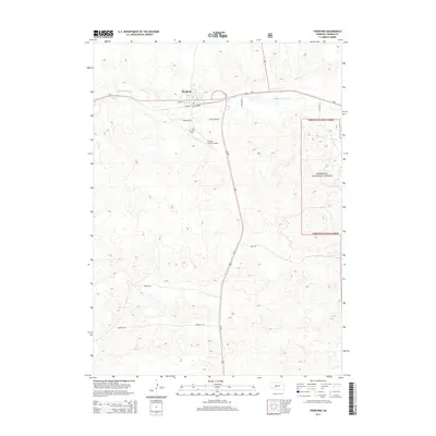 2014 Thedford2014 Print · USGSThedford and the Middle Loup River valley are captured here in the early twenty-first century as a vital Sandhills crossroads. Researchers can trace local landmarks and family sites like Hillcrest Cem, Thomas County Airport, and the edge of the Nebraska National Forest.
 - 2017 Map of Thedford, 2017 Print
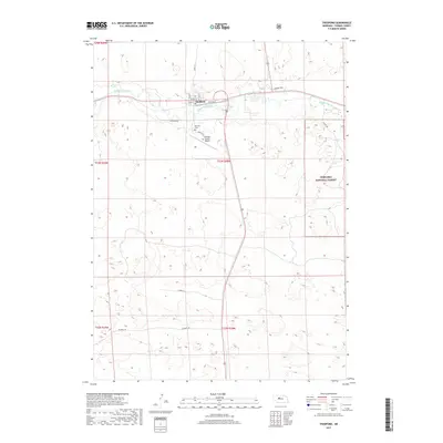 2017 Thedford2017 Print · USGSThedford and the surrounding Sandhills are captured in this 2017 survey, showcasing the community along the Middle Loup River. Researchers can trace local lineage at Hillcrest Cemetery or explore the boundaries of the Nebraska National Forest.
 - 2021 Map of Thedford, 2021 Print
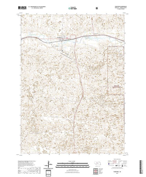 2021 Thedford2021 Print · USGSThedford and the surrounding Nebraska Sandhills are documented here during the early twenty-first century as a vital river-valley settlement. Researchers can locate the Thomas County Courthouse, trace the Middle Loup River, and find Hillcrest Cem.
End of results
Showing maps 1-12 of 12
Frequently asked questions
- What are the different types of historical maps available for Thedford?
- What is the oldest map of Thedford?
- Where can I purchase historical maps of Thedford for my home or office?
- Where can I download high-res historical maps of Thedford?
- Are there historical topographic maps available for Thedford?
- Is there historical aerial imagery available for Thedford?
- Where are historical maps of Thedford sourced from?