2000s (21st Century) Maps of Macy, Nebraska
Explore 17 historic maps of Macy from the 2000s (21st Century). These maps offer a rare glimpse into what life looked like during the 2000s — showing old roads, neighborhoods, homes, and landmarks that have changed or disappeared over time.
Whether you're researching your family's past, planning a metal detecting trip, or studying how Macy's landscape evolved across the 2000s, these high-resolution maps are a powerful tool for exploring the history of this region.
- Focus on a specific era: All maps on this page are from the 2000s, giving you a focused view of this time period.
- See what’s changed: Compare century-old streets, trails, and buildings to today's modern landscape using overlays and satellite layers.
- Research with precision: Use these maps for genealogy, historical research, land use analysis, or educational projects.
- View, download, or print: Maps are fully viewable online in high resolution, and can be downloaded or printed for your own records.
Start exploring Macy's history through authentic maps from the 2000s. This is your window into the past.
Macy, NE maps
(17)- 2011 Map of Macy, 2011 Print
 2011 Macy2011 Print · USGSCovers Macy, including Decatur, Monona County, and other nearby areas
 - 2011 Map of Walthill, 2011 Print
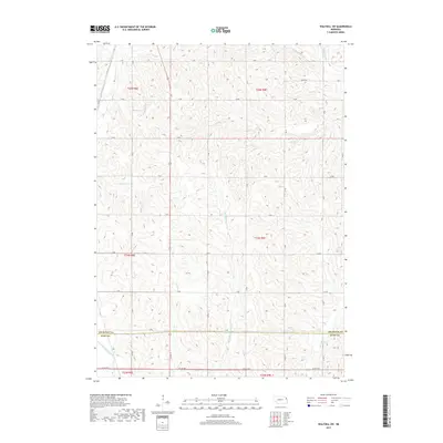
 2011 Walthill2011 Print · USGSCovers Macy, including Walthill, Winnebago, and other nearby areas
 - 2011 Map of Walthill SW, 2011 Print
 2011 Walthill SW2011 Print · USGSCovers Macy, including Thurston County, Burt County, and other nearby areas
 - 2012 Map of Albaton, 2012 Print
 2012 Albaton2012 Print · USGSCovers Macy, including Albaton, Woodbury County, and other nearby areas
 - 2013 Map of Albaton, 2013 Print
 2013 Albaton2013 Print · USGSCovers Macy, including Albaton, Woodbury County, and other nearby areas
 - 2014 Map of Macy, 2014 Print
 2014 Macy2014 Print · USGSCovers Macy, including Decatur, Monona County, and other nearby areas
 - 2014 Map of Walthill SW, 2014 Print
 2014 Walthill SW2014 Print · USGSCovers Macy, including Thurston County, Burt County, and other nearby areas
 - 2014 Map of Walthill, 2014 Print
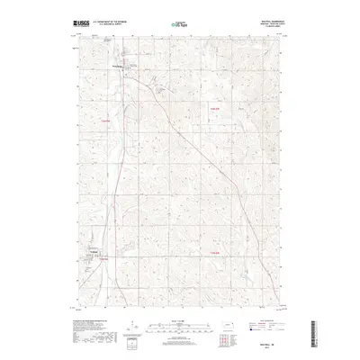
 2014 Walthill2014 Print · USGSCovers Macy, including Walthill, Winnebago, and other nearby areas
 - 2015 Map of Albaton, 2015 Print
 2015 Albaton2015 Print · USGSCovers Macy, including Albaton, Woodbury County, and other nearby areas
 - 2017 Map of Walthill SW, 2017 Print
 2017 Walthill SW2017 Print · USGSCovers Macy, including Thurston County, Burt County, and other nearby areas
 - 2017 Map of Macy, 2017 Print
 2017 Macy2017 Print · USGSCovers Macy, including Decatur, Monona County, and other nearby areas
 - 2017 Map of Walthill, 2017 Print
 2017 Walthill2017 Print · USGSCovers Macy, including Walthill, Winnebago, and other nearby areas
 - 2018 Map of Albaton, 2018 Print
 2018 Albaton2018 Print · USGSCovers Macy, including Albaton, Woodbury County, and other nearby areas
 - 2021 Map of Walthill SW, 2021 Print
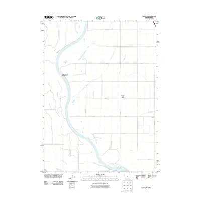
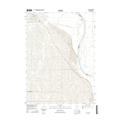
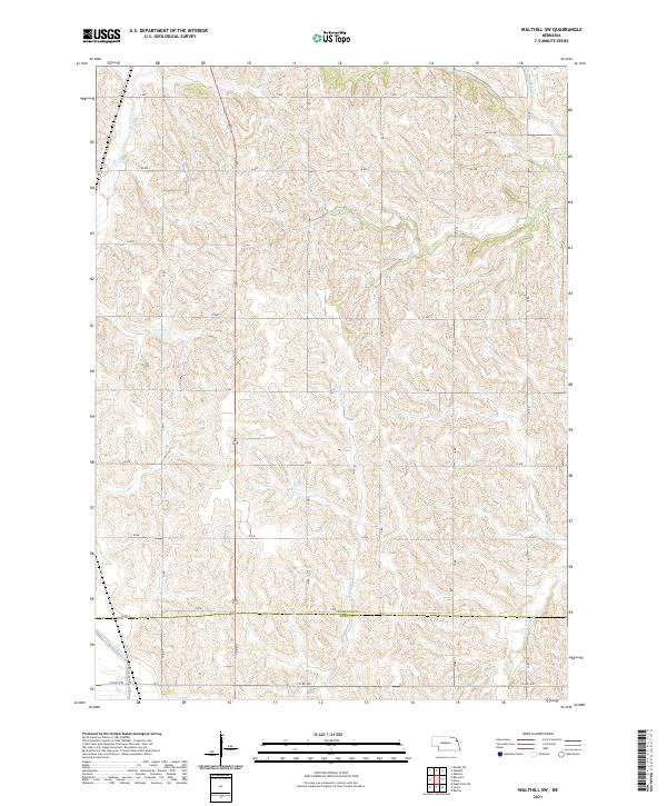 2021 Walthill SW2021 Print · USGSThurston and Burt counties are shown here in the early 2020s, featuring a rural landscape shaped by the drainage of S Blackbird Creek. Genealogists and historians can trace the transition from natural waterways to the Logan Creek Dredge near Co Rd W51.
 - 2021 Map of Walthill, 2021 Print
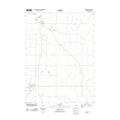
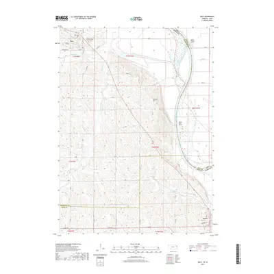
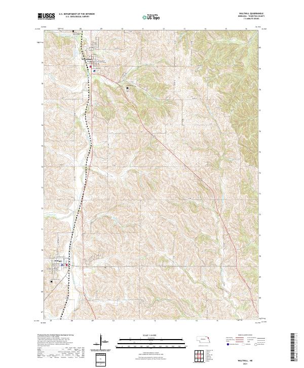 2021 Walthill2021 Print · USGSThe communities of Winnebago and Walthill are detailed in this modern survey of Thurston County. Researchers can trace local heritage through sites like Little Priest Tribal College, Winnebago Cemetery, and Evergreen Cemetery.
 - 2021 Map of Macy, 2021 Print
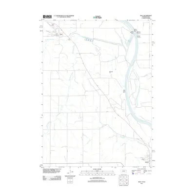
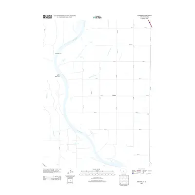
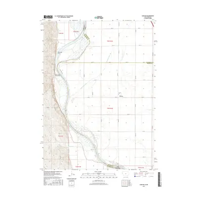
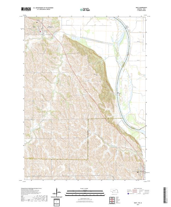 2021 Macy2021 Print · USGSThe bluffs above the Missouri River come into focus in the early 2020s, showing the tribal lands around Macy. Genealogists can trace local landmarks like Umo Ho Tribal Cem, Hillcrest Cem, and Blackbird Hill.
 - 2022 Map of Albaton, 2022 Print
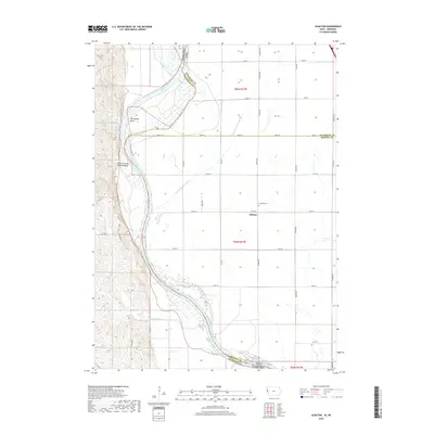
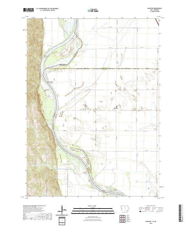 2022 Albaton2022 Print · USGSThe Missouri River bottomlands of Monona County are captured here in the early twenty-first century, showing a landscape defined by water management and river bends. Researchers can trace the rural community of Albaton, visit the Fairview Cem, or follow the winding Sand Hill Lake Ditch.
End of results
Showing maps 1-17 of 17
Top cities near Macy
- Sloan historical maps
- Lyons historical maps
- Walthill historical maps
- Winnebago historical maps
- Winnebago historical maps
- Whiting historical maps
See more
Frequently asked questions
- What are the different types of historical maps available for Macy?
- What is the oldest map of Macy?
- Where can I purchase historical maps of Macy for my home or office?
- Where can I download high-res historical maps of Macy?
- Are there historical topographic maps available for Macy?
- Is there historical aerial imagery available for Macy?
- Where are historical maps of Macy sourced from?