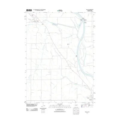
2011 Map of Macy
USGS Topo · Published 2011About this map
The Missouri River corridor defines this 2011 survey, showing the intricate geography of the Nebraska-Iowa borderlands near the Omaha Reservation. The settlement of Macy serves as a focal point in the northwest, containing the Macy Post Office and the Omaha Tribal Cemetery along Skunk Hallow. The landscape is dominated by a series of drainage systems, including North Blackbird Creek and South Blackbird Creek, which feed toward the river's expansive bends. To the south, the grid of Decatur is clearly established, featuring Hillcrest Cemetery on its western edge. Riverside landmarks like Blackbird Hill and Lower Monona Bend illustrate the shifting river hydrology, while the presence of Lighthouse Marine and Campground near Badger Lake indicates the area's contemporary recreational use along the water.
Find a feature on this map
36 named features on this map. Tap any name to fly to it.
Don’t see what you’re looking for? This feature index may not catch every label — zoom into the map to look around manually.
Map Details
Editions of this 2011 Macy Map
This is the sole edition of this map. No revisions or reprints were ever made.
Other maps of this area

1955 · Sioux City
USGS Topo · 1:250,000

1955 · Fremont
USGS Topo · 1:250,000

1957 · Fremont
USGS Topo · 1:250,000

1958 · Sioux City
USGS Topo · 1:250,000

1958 · Fremont
USGS Topo · 1:250,000

1959 · Sioux City
USGS Topo · 1:250,000

1966 · Lyons
USGS Topo · 1:24,000

1966 · Walthill SW
USGS Topo · 1:24,000

1966 · Walthill
USGS Topo · 1:24,000

1966 · Macy
USGS Topo · 1:24,000