
1966 Map of Walthill
USGS Topo · Published 1968About this map
The Winnebago Indian Reservation and Omaha Indian Reservation meet in this mid-1960s survey of Thurston County, Nebraska. An Old Indian Treaty Boundary cuts diagonally across the landscape, marking a legacy of land division near the village of Winnebago. Tribal and social infrastructure is prominent, including the Winnebago Indian Agency, the St Augustine Indian Mission, and its associated St Augustine Mission Cem.
Find a feature on this map
25 named features on this map. Tap any name to fly to it.
Don’t see what you’re looking for? This feature index may not catch every label — zoom into the map to look around manually.
Map Details
Editions of this 1966 Walthill Map
This is the sole edition of this map. No revisions or reprints were ever made.
Other maps of this area

1955 · Sioux City
USGS Topo · 1:250,000

1958 · Sioux City
USGS Topo · 1:250,000

1959 · Sioux City
USGS Topo · 1:250,000

1964 · Homer
USGS Topo · 1:24,000

1964 · Salix
USGS Topo · 1:24,000

1966 · Walthill SW
USGS Topo · 1:24,000
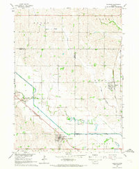
1966 · Bancroft
USGS Topo · 1:24,000

1966 · Pender NE
USGS Topo · 1:24,000

1966 · Macy
USGS Topo · 1:24,000
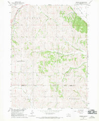
1967 · Emerson SE
USGS Topo · 1:24,000