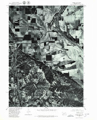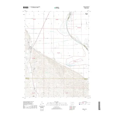
1964 Map of Homer
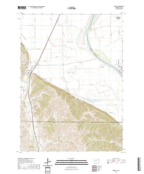
USGS Topo · Published 1966About this map
The Missouri River defines the eastern edge of this Nebraska landscape, where the flat alluvial plains meet the rising bluffs of the Winnebago Indian Reservation Boundary. Centered on the community of Homer, the area shows a transition from agricultural bottomlands to the wooded hills of the reservation, carved by Omaha Creek and Fiddlers Cr. Transportation and industry are anchored by the Chicago Burlington and Quincy railroad, which parallels the highway through the center of town. Local history is documented through landmarks such as St Cornelius Cem, Omaha Valley Cem, and the Combs Sch, while industrial activity is noted at a Shale Pit and Quarry near the reservation line. The presence of Blyburg Lake and numerous drainage features like Pigeon Creek illustrates the complex hydrology of this river-valley terrain.
Find a feature on this map
26 named features on this map. Tap any name to fly to it.
Don’t see what you’re looking for? This feature index may not catch every label — zoom into the map to look around manually.
Map Details
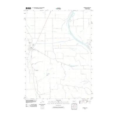
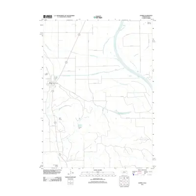
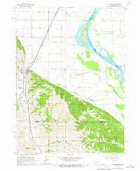
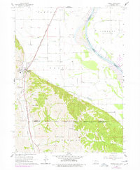
Editions of this 1964 Homer Map
2 editions found
Historical Maps of Sioux City Through Time
7 maps found