Old Maps of Walthill, Nebraska for Academic Research
Study the evolution of Walthill with 15 high-resolution historic maps. Whether you're teaching, researching, or modeling changes in land use, these maps provide essential visual documentation of urban, environmental, and geographic change.
- Analyze long-term change: Track patterns in development, transportation, and natural features.
- Ideal for environmental or urban studies: Support academic projects with primary historical map data.
- Use in the classroom or lab: Educators and researchers rely on these maps to bring historical context to life.
These maps are a powerful tool for teaching, research, and visualizing how Walthill has changed over the decades.
Walthill, NE maps
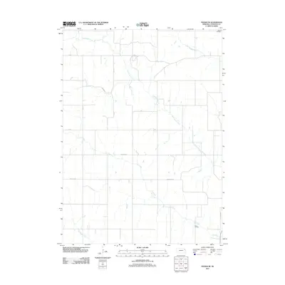
(15)- 1955 Map of Sioux City, 1959 Print
 1955 Sioux City1959 Print · USGSThe Missouri River valley in the mid-fifties is captured here during a time of major engineering and social transition. Genealogists and historians can trace the foundations of Gavins Point Dam, tribal boundaries on the Santee Sioux Indian Reservation, and local landmarks like the Norfolk State Hospital.4 unique versions available
 - 1958 Map of Sioux City
 1958 Sioux City1958 Print · USGSThe Missouri River valley in the late fifties was a bustling intersection of tribal lands, rail corridors, and river towns. Genealogists can trace family roots through specific rural sites like Daisy Valley School, St Johns Church and School, and Yankton State Hospital.
 - 1959 Map of Sioux City
 1959 Sioux City1959 Print · USGSThe tri-state region surrounding the Missouri River is captured here in the late fifties, showing the convergence of Nebraska, South Dakota, and Iowa. Researchers can trace rural lineages through numerous country schoolhouses like Cemetery School and the many numbered Washington School districts.
 - 1966 Map of Walthill, 1968 Print
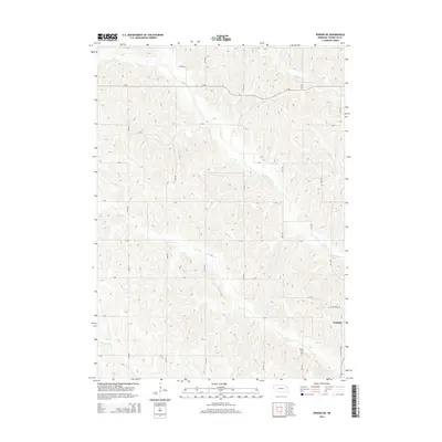
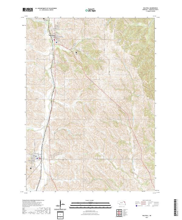
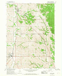 1966 Walthill1968 Print · USGSThurston County, Nebraska, is seen here during the mid-sixties, dominated by the intersecting borders of tribal lands. Researchers can trace the Old Indian Treaty Boundary and locate local landmarks like the St Augustine Indian Mission and Winnebago Cem.
 - 1966 Map of Pender NE, 1968 Print
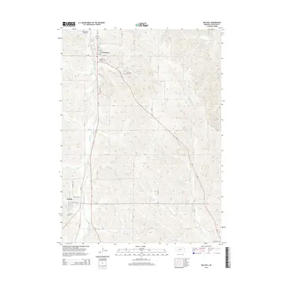
 1966 Pender NE1968 Print · USGSThurston County’s tribal lands and rural landscape are captured in detail during the mid-1960s. Researchers can trace the Old Indian Treaty Boundary and locate local landmarks like Walthill, Pilcher Cem, and School No 20.
 - 1977 Map of Walthill, 1979 Print
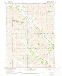
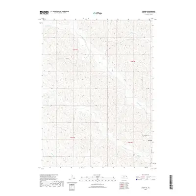
 1977 Walthill1979 Print · USGSThurston County’s agricultural and residential landscape is revealed in this late seventies aerial survey of the region between Winnebago and Walthill. Researchers can trace the development of these communities and the meandering course of Omaha Creek as it cuts through the wooded ravines and farmland.
 - 1986 Map of Sioux City South
 1986 Sioux City South1986 Print · USGSThe tri-state borderlands of Iowa, Nebraska, and South Dakota come into focus in the mid-1980s as a landscape of tribal lands and rail corridors. Researchers can trace the extensive boundaries of the Winnebago Indian Reservation and find local landmarks like Morningside College and Martin Field.2 unique versions available
 - 2011 Map of Walthill, 2011 Print
 2011 Walthill2011 Print · USGSCovers Walthill, including Winnebago, Winnebago, and other nearby areas
 - 2011 Map of Pender NE, 2011 Print
 2011 Pender NE2011 Print · USGSCovers Walthill, including Thurston County, United States, and other nearby areas
 - 2014 Map of Pender NE, 2014 Print
 2014 Pender NE2014 Print · USGSCovers Walthill, including Thurston County, United States, and other nearby areas
 - 2014 Map of Walthill, 2014 Print
 2014 Walthill2014 Print · USGSCovers Walthill, including Winnebago, Winnebago, and other nearby areas
 - 2017 Map of Pender NE, 2017 Print
 2017 Pender NE2017 Print · USGSCovers Walthill, including Thurston County, United States, and other nearby areas
 - 2017 Map of Walthill, 2017 Print
 2017 Walthill2017 Print · USGSCovers Walthill, including Winnebago, Winnebago, and other nearby areas
 - 2021 Map of Walthill, 2021 Print
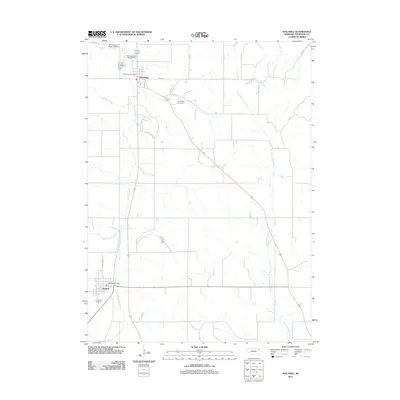
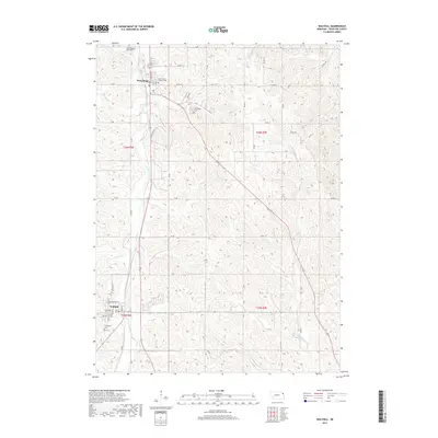
 2021 Walthill2021 Print · USGSThe communities of Winnebago and Walthill are detailed in this modern survey of Thurston County. Researchers can trace local heritage through sites like Little Priest Tribal College, Winnebago Cemetery, and Evergreen Cemetery.
 - 2021 Map of Pender NE, 2021 Print
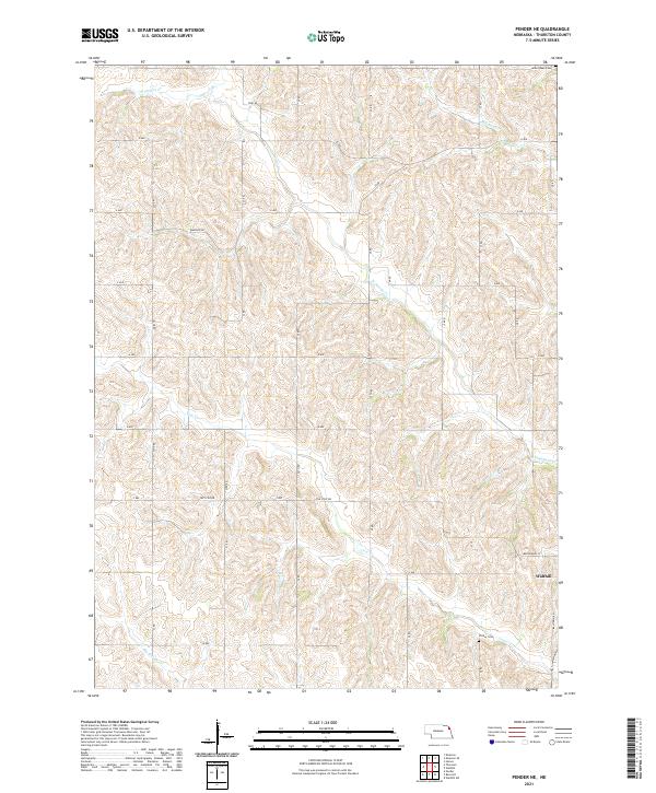 2021 Pender NE2021 Print · USGSThe rural landscape of Thurston County is shown here in the early twenty-first century, centered on the drainage of the Omaha Creek system. Researchers can locate Walthill and trace family history at the James Rave Cem or the secluded Pilcher Cem near Cow Cr.
End of results
Showing maps 1-15 of 15
Top cities near Walthill
- Sioux City historical maps
- Pender historical maps
- Lyons historical maps
- Winnebago historical maps
- Winnebago historical maps
- Homer historical maps
See more
Frequently asked questions
- What are the different types of historical maps available for Walthill?
- What is the oldest map of Walthill?
- Where can I purchase historical maps of Walthill for my home or office?
- Where can I download high-res historical maps of Walthill?
- Are there historical topographic maps available for Walthill?
- Is there historical aerial imagery available for Walthill?
- Where are historical maps of Walthill sourced from?