Old Maps of Nashville, Nebraska for Academic Research
Study the evolution of Nashville with 12 high-resolution historic maps. Whether you're teaching, researching, or modeling changes in land use, these maps provide essential visual documentation of urban, environmental, and geographic change.
- Analyze long-term change: Track patterns in development, transportation, and natural features.
- Ideal for environmental or urban studies: Support academic projects with primary historical map data.
- Use in the classroom or lab: Educators and researchers rely on these maps to bring historical context to life.
These maps are a powerful tool for teaching, research, and visualizing how Nashville has changed over the decades.
Nashville, NE maps
(12)- 1893 Map of Omaha
 1893 Omaha1893 Print · USGSThe Missouri River valley at the close of the 19th century shows a landscape defined by industrial expansion and volatile waterways. Genealogists and historians can trace early street layouts in Omaha and Council Bluffs or locate old crossings near Florence and Crescent.
 - 1954 Map of Omaha, 1967 Print
 1954 Omaha1967 Print · USGSMid-century development radiates from the river bluffs into the agricultural heartland during this period of post-war growth. Genealogists and historians can trace rail-connected towns like Atlantic and Red Oak or locate the sprawling grounds of Offutt Air Force Base and Manawa Lake.3 unique versions available
 - 1957 Map of Omaha
 1957 Omaha1957 Print · USGSWestern Iowa and the Missouri River valley are seen here in the mid-fifties during the height of the rail-and-road era. Researchers can trace the sprawling rail lines of the Chicago And North Western or locate Cold War landmarks like Offutt Air Force Base.
 - 1957 Map of Loveland, 1958 Print
 1957 Loveland1958 Print · USGSThe Missouri River bottoms and bordering bluffs come alive in the late fifties as new highway infrastructure begins to reshape the landscape. Researchers can trace the legacy of river towns and rural education through sites like Loveland, Shipley Cem, and Ponca Sch.3 unique versions available
 - 1958 Map of Omaha
 1958 Omaha1958 Print · USGSOmaha and Council Bluffs stand at the center of this mid-fifties landscape, where the Missouri River splits the urban plains of Nebraska from the rolling hills of western Iowa. Genealogists can trace the rail lines of the Wabash RR and Illinois Central RR to rural settlements like Missouri Valley and Red Oak.2 unique versions available
 - 1985 Map of Omaha
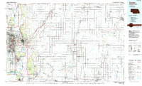 1985 Omaha1985 Print · USGSMid-century development and heavy rail infrastructure define the Missouri River corridor between Nebraska and Iowa. Genealogists and local historians can trace the footprints of Offutt Air Force Base, Forest Lawn Cemetery, and the Iowa School for the Deaf.2 unique versions available
 - 1994 Map of Loveland
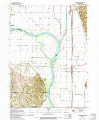 1994 Loveland1994 Print · USGSThe Missouri River floodplain north of Omaha reached a point of high stabilization in the early nineties, managed by a complex network of levees. Genealogists and local historians can trace small communities like Loveland and Nashville, or locate features like the Landing Strip and Boyer Chute.
 - 2010 Map of Loveland, 2010 Print
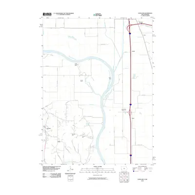 2010 Loveland2010 Print · USGSThe Missouri River floodplain near the Iowa and Nebraska border is captured here during the first decade of the millennium. Researchers can trace rural settlement patterns and local landmarks like Shipley Cemetery, the small community of Nashville, and the waters of Boyer Chute.
 - 2013 Map of Loveland, 2013 Print
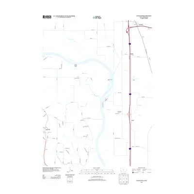 2013 Loveland2013 Print · USGSThe Missouri River floodplain near the Iowa-Nebraska border comes to life in the early 2010s, revealing a landscape defined by shifting chutes and historic transit routes. Genealogists and local historians can trace the paths of the Old Lincoln Hwy and find sites like Nashville and Heaton Airport.
 - 2015 Map of Loveland, 2015 Print
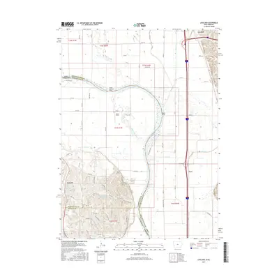 2015 Loveland2015 Print · USGSThe Missouri River valley along the Iowa and Nebraska border is shown here in the mid-2010s, capturing a landscape defined by floodplains and bluffs. Researchers can locate the Shipley Cem or trace the early paths of the Old Lincoln Hwy near Loveland.
 - 2018 Map of Loveland, 2018 Print
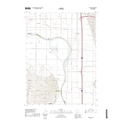 2018 Loveland2018 Print · USGSThe Missouri River floodplain near the Iowa and Nebraska border is captured here during a period of modern development and natural preservation. Researchers can locate the Shipley Cem, trace the oxbows of Boyer Bend, and find the small settlement of Nashville.
 - 2022 Map of Loveland, 2022 Print
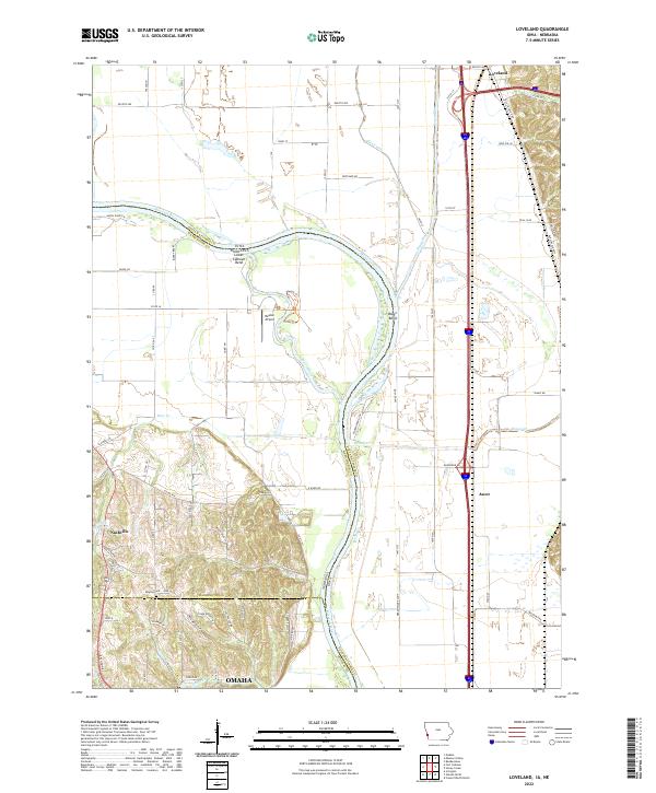 2022 Loveland2022 Print · USGSThe Missouri River valley north of Omaha is seen here in recent years, where the Iowa and Nebraska borders meet. Family historians can locate Shipley Cemetery and trace the original path of the Old Lincoln Hwy near Loveland.
End of results
Showing maps 1-12 of 12
Frequently asked questions
- What are the different types of historical maps available for Nashville?
- What is the oldest map of Nashville?
- Where can I purchase historical maps of Nashville for my home or office?
- Where can I download high-res historical maps of Nashville?
- Are there historical topographic maps available for Nashville?
- Is there historical aerial imagery available for Nashville?
- Where are historical maps of Nashville sourced from?