Old Maps of Silver Hill, Nevada for Genealogy
Trace your family roots with 11 historic maps of Silver Hill. These high-res maps reveal old neighborhoods, homesites, landmarks, and streets — helping you uncover where your ancestors lived and how the area evolved over time.
- Explore historic neighborhoods: Identify where your relatives may have lived in the 1800s or 1900s.
- Compare maps over time: Trace the changes in streets, buildings, and landmarks for multi-generational research.
- Perfect for genealogy & ancestry research: Used by family historians and researchers to map out lineage and migration.
These maps are an incredible resource for exploring your personal connection to Silver Hill's past.
Silver Hill, NV maps
(11)- 1908 Map of Carson Sink, 1954 Print
 1908 Carson Sink1954 Print · USGSChurchill County at the opening of the century reveals a landscape of desert mining camps and nascent river irrigation. Genealogists and historians can trace the early streets of Fallon, the remote Nevada Hills Mine, and the location of Dixie.3 unique versions available
 - 1910 Map of Carson Sink
 1910 Carson Sink1910 Print · USGSWestern Nevada at the end of the first decade of the century shows a landscape defined by desert mining camps and the burgeoning Carson-Truckee irrigation projects. Genealogists and historians can trace the early streets of Fallon or locate remote camps like Rawhide and the Nevada Wonder Mine.5 unique versions available
 - 1957 Map of Reno, 1963 Print
 1957 Reno1963 Print · USGSWestern Nevada in the early sixties is a land of sprawling desert sinks and rising mountain ranges. Genealogists and historians can trace the rail-and-river network connecting Reno, the mining legacy of Rawhide Mine, and the boundaries of the Pyramid Lake Indian Reservation.5 unique versions available
 - 1959 Map of Reno
 1959 Reno1959 Print · USGSWestern Nevada in the late fifties was a land of expanding military airbases and high-desert irrigation projects. You can trace the lineage of the Comstock era through Carson City, locate the Pony Express Monument, or study the rail networks of the Southern Pacific RR.
 - 1960 Map of Reno
 1960 Reno1960 Print · USGSThe high desert of western Nevada comes alive in this mid-century survey of the Reno-Tahoe region. Genealogists and historians can trace rail lines like the Southern Pacific RR and locate remote outposts such as Olinghouse, Nixon, and the Olinghouse Mine.2 unique versions available
 - 1972 Map of I X L Canyon, 1975 Print
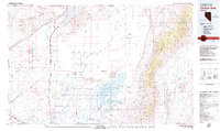
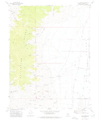 1972 I X L Canyon1975 Print · USGSThe Stillwater Range meets the Dixie Valley in the early 1970s, revealing a landscape of remote mines and desert tracks. Genealogists and historians can trace the foundations of the Silver Hill (Site) or locate the Creore Mine and James outpost.2 unique versions available
 - 1979 Map of Carson Sink
 1979 Carson Sink1979 Print · USGSIn the late seventies, the Churchill County desert shows a landscape shaped by ancient lakebeds and Cold War military needs. Researchers can trace the Southern Pacific rail line past remote outposts like Jessup and historic sites such as the Lovelock Indian Caves.2 unique versions available
 - 2011 Map of I X L Canyon, 2011 Print
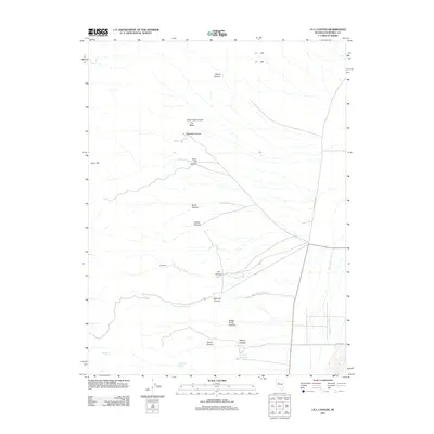 2011 I X L Canyon2011 Print · USGSCovers Silver Hill, including Churchill County, United States, and other nearby areas
 - 2014 Map of I X L Canyon, 2014 Print
 2014 I X L Canyon2014 Print · USGSCovers Silver Hill, including Churchill County, United States, and other nearby areas
 - 2018 Map of I X L Canyon, 2018 Print
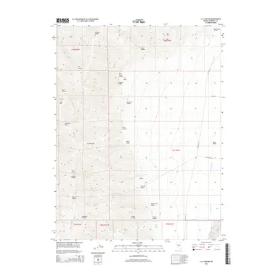
 2018 I X L Canyon2018 Print · USGSCovers Silver Hill, including Churchill County, United States, and other nearby areas
 - 2021 Map of I X L Canyon, 2021 Print
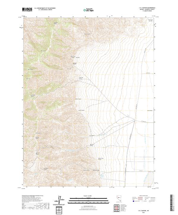 2021 I X L Canyon2021 Print · USGSDixie Valley and the Stillwater Range are shown here in the early twenty-first century, revealing a landscape defined by dramatic geology and desert hydrology. Researchers can trace the Fault Scarp of 1954 or locate remote water sources like Mud or Willow Spring.
End of results
Showing maps 1-11 of 11
Frequently asked questions
- What are the different types of historical maps available for Silver Hill?
- What is the oldest map of Silver Hill?
- Where can I purchase historical maps of Silver Hill for my home or office?
- Where can I download high-res historical maps of Silver Hill?
- Are there historical topographic maps available for Silver Hill?
- Is there historical aerial imagery available for Silver Hill?
- Where are historical maps of Silver Hill sourced from?