Old Maps of Alpha, Nevada for Genealogy
Trace your family roots with 11 historic maps of Alpha. These high-res maps reveal old neighborhoods, homesites, landmarks, and streets — helping you uncover where your ancestors lived and how the area evolved over time.
- Explore historic neighborhoods: Identify where your relatives may have lived in the 1800s or 1900s.
- Compare maps over time: Trace the changes in streets, buildings, and landmarks for multi-generational research.
- Perfect for genealogy & ancestry research: Used by family historians and researchers to map out lineage and migration.
These maps are an incredible resource for exploring your personal connection to Alpha's past.
Alpha, NV maps
(11)- 1937 Map of Mineral Hill
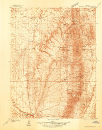 1937 Mineral Hill1937 Print · USGSEureka County mining and ranching operations are documented here in the late 1930s as the Eureka Nevada RR served the high desert. Researchers can trace historic family-named sites like Bruffey Ranch and the workings at the Old Whalen Mine.4 unique versions available
 - 1943 Map of Mineral Hill
 1943 Mineral Hill1943 Print · USGSCentral Nevada's mining and ranching corridor is documented here during the late 1930s as the rail era transitioned into memory. Researchers can trace the Nevada Eureka (Abandoned) rail line past Alpha Ranch and locate early sites like Mineral Hill and the Bell Mine.2 unique versions available
 - 1955 Map of Winnemucca, 1968 Print
 1955 Winnemucca1968 Print · USGSNorthern Nevada's high desert corridor is captured here in the mid-fifties, centered on the river-and-rail hub of Winnemucca. Researchers can trace the dual tracks of the Southern Pacific and Western Pacific railroads through towns like Golconda and Valmy.3 unique versions available
 - 1958 Map of Winnemucca
 1958 Winnemucca1958 Print · USGSNorthern Nevada in the late fifties was defined by the parallel rhythms of the great transcontinental railroads and a resilient mining industry. Genealogists and historians can trace old mining camps and remote rail sidings from Gold Acres and Palisade to the Adelaide district.2 unique versions available
 - 1962 Map of Winnemucca
 1962 Winnemucca1962 Print · USGSNorthern Nevada's high desert comes alive in the mid-1950s as a vital transportation and mining corridor following the Humboldt River. Trace the early rail-and-ranch economy through stops like Palisade, find old workings at the Adelaide Mine, and see the layout of Winnemucca before the interstate era.
 - 1986 Map of Mineral Hill SW
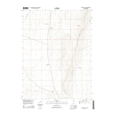
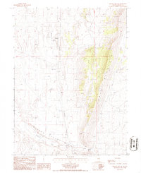 1986 Mineral Hill SW1986 Print · USGSEureka County ranching and transit are preserved in the mid-1980s, documenting the remote basin of Garden Valley. Researchers can trace the path of the Old Railroad Grade and locate old local sites like Alpha and Shannon.
 - 1987 Map of Crescent Valley, 1988 Print
 1987 Crescent Valley1988 Print · USGSThe high desert basins of central Nevada are shown in the late 1980s, highlighting the mining districts and rail corridors of the Great Basin. Genealogists and historians can trace early settlements like Beowawe and Tenabo alongside the Southern Pacific railroad.2 unique versions available
 - 2012 Map of Mineral Hill SW, 2012 Print
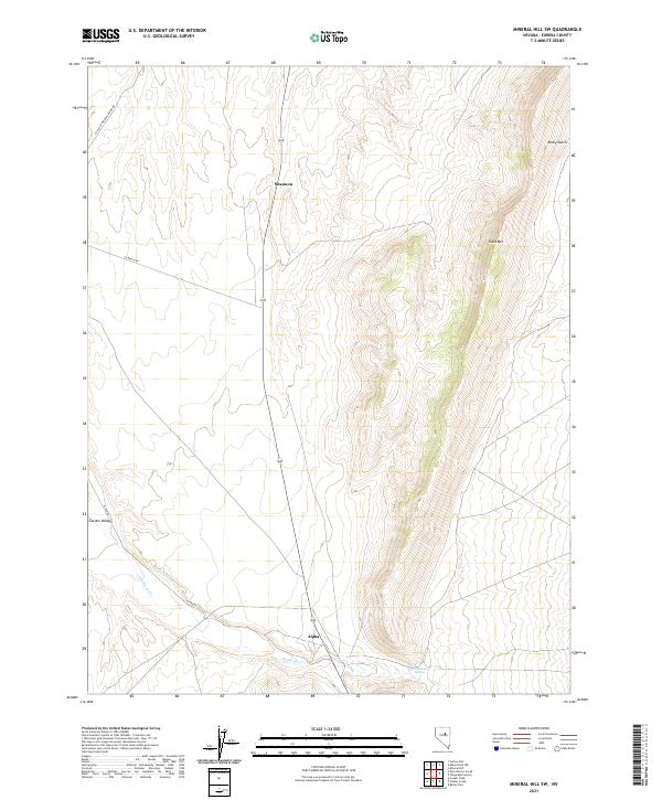
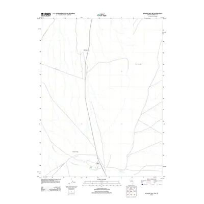 2012 Mineral Hill SW2012 Print · USGSCovers Alpha, including Eureka County, United States, and other nearby areas
 - 2014 Map of Mineral Hill SW, 2014 Print
 2014 Mineral Hill SW2014 Print · USGSCovers Alpha, including Eureka County, United States, and other nearby areas
 - 2018 Map of Mineral Hill SW, 2018 Print
 2018 Mineral Hill SW2018 Print · USGSCovers Alpha, including Eureka County, United States, and other nearby areas
 - 2021 Map of Mineral Hill SW, 2021 Print
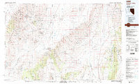
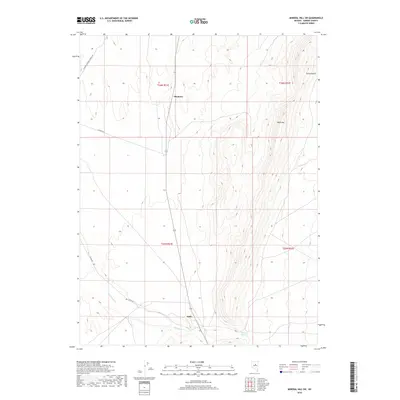
 2021 Mineral Hill SW2021 Print · USGSEureka County ranching country is shown here in the early twenty-first century, centered on the high-desert transition between valley floor and mountain peaks. Genealogists and researchers can trace the routes to Shannon or Alpha and locate water sources like Chimney Springs.
End of results
Showing maps 1-11 of 11
Frequently asked questions
- What are the different types of historical maps available for Alpha?
- What is the oldest map of Alpha?
- Where can I purchase historical maps of Alpha for my home or office?
- Where can I download high-res historical maps of Alpha?
- Are there historical topographic maps available for Alpha?
- Is there historical aerial imagery available for Alpha?
- Where are historical maps of Alpha sourced from?