Old Maps of Beowawe, Nevada for Academic Research
Study the evolution of Beowawe with 10 high-resolution historic maps. Whether you're teaching, researching, or modeling changes in land use, these maps provide essential visual documentation of urban, environmental, and geographic change.
- Analyze long-term change: Track patterns in development, transportation, and natural features.
- Ideal for environmental or urban studies: Support academic projects with primary historical map data.
- Use in the classroom or lab: Educators and researchers rely on these maps to bring historical context to life.
These maps are a powerful tool for teaching, research, and visualizing how Beowawe has changed over the decades.
Beowawe, NV maps
(10)- 1955 Map of Winnemucca, 1968 Print
 1955 Winnemucca1968 Print · USGSNorthern Nevada's high desert corridor is captured here in the mid-fifties, centered on the river-and-rail hub of Winnemucca. Researchers can trace the dual tracks of the Southern Pacific and Western Pacific railroads through towns like Golconda and Valmy.3 unique versions available
 - 1957 Map of Beowawe, 1958 Print
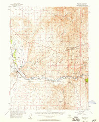 1957 Beowawe1958 Print · USGSCentral Nevada's Humboldt River valley was a critical transit corridor for both steam and rail in the late fifties. Genealogists and historians can trace the California Trail alongside 20th-century landmarks like the Maidens Grave Cemetery and Horseshoe Ranch.2 unique versions available
 - 1958 Map of Winnemucca
 1958 Winnemucca1958 Print · USGSNorthern Nevada in the late fifties was defined by the parallel rhythms of the great transcontinental railroads and a resilient mining industry. Genealogists and historians can trace old mining camps and remote rail sidings from Gold Acres and Palisade to the Adelaide district.2 unique versions available
 - 1962 Map of Winnemucca
 1962 Winnemucca1962 Print · USGSNorthern Nevada's high desert comes alive in the mid-1950s as a vital transportation and mining corridor following the Humboldt River. Trace the early rail-and-ranch economy through stops like Palisade, find old workings at the Adelaide Mine, and see the layout of Winnemucca before the interstate era.
 - 1986 Map of Beowawe
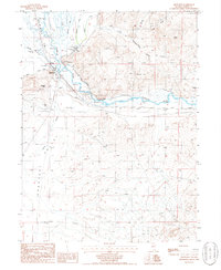 1986 Beowawe1986 Print · USGSBeowawe and the Humboldt River corridor appear here in the mid-1980s, documenting a landscape of mining and ranching. Genealogists and historians can trace the Horseshoe Ranch, the Red Devil Mine, and a local Cem tucked near the river.
 - 1988 Map of Battle Mountain
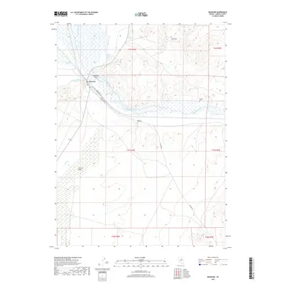
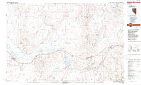 1988 Battle Mountain1988 Print · USGSNorth-central Nevada in the late eighties shows a landscape deeply tied to the Humboldt River and its heavy rail corridors. Trace the path of the Southern Pacific through high-desert hubs like Battle Mountain, Beowawe, and the Schroeder Mountain Mine.
 - 2012 Map of Beowawe, 2012 Print
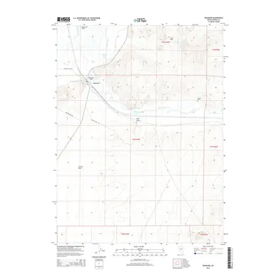
 2012 Beowawe2012 Print · USGSCovers Beowawe, including Eureka County, United States, and other nearby areas
 - 2014 Map of Beowawe, 2014 Print
 2014 Beowawe2014 Print · USGSCovers Beowawe, including Eureka County, United States, and other nearby areas
 - 2018 Map of Beowawe, 2018 Print
 2018 Beowawe2018 Print · USGSCovers Beowawe, including Eureka County, United States, and other nearby areas
 - 2021 Map of Beowawe, 2021 Print
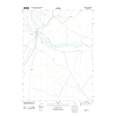
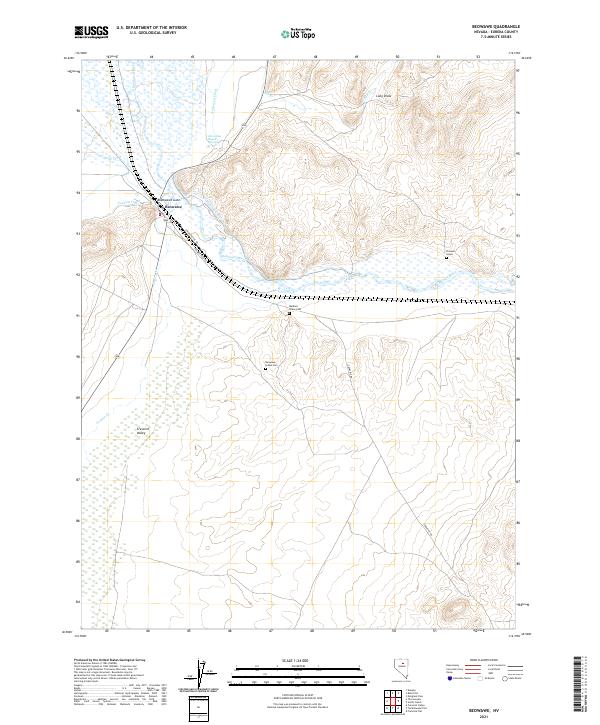 2021 Beowawe2021 Print · USGSThe Humboldt River valley and the settlement at Beowawe are captured here in the early twenty-first century as they continue to serve as a vital transit corridor. Genealogists and historians can trace the intersection of the Humboldt River and the Beowawe township.
End of results
Showing maps 1-10 of 10
Top cities near Beowawe
Frequently asked questions
- What are the different types of historical maps available for Beowawe?
- What is the oldest map of Beowawe?
- Where can I purchase historical maps of Beowawe for my home or office?
- Where can I download high-res historical maps of Beowawe?
- Are there historical topographic maps available for Beowawe?
- Is there historical aerial imagery available for Beowawe?
- Where are historical maps of Beowawe sourced from?