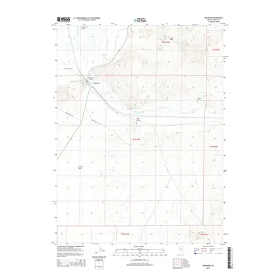
2014 Map of Beowawe
USGS Topo · Published 2014About this map
The Humboldt River corridor defines this portion of the Great Basin, where the small settlement of Beowawe sits at a strategic gap in the terrain. This 2014 survey captures the intersection of historical transit and desert agriculture, marked by the presence of the Anderson Canal and Highline Canal which draw from the river to support local ranching. The map is particularly notable for its memorial sites, including the Maidens Grave Cemetery and the isolated Pioneers Grave, both situated near the riverbanks. These landmarks, along with roads like Maidens Grave Rd and Sansinena Ranch Rd, trace the enduring paths of westward migration and early settlement through the Whirlwind Valley and Crescent Valley. To the west, the entrance to the geothermal features of the area is marked at Beowawe Gate near Beowawe Geyser Rd.
Find a feature on this map
23 named features on this map. Tap any name to fly to it.
Don’t see what you’re looking for? This feature index may not catch every label — zoom into the map to look around manually.
Map Details
Editions of this 2014 Beowawe Map
This is the sole edition of this map. No revisions or reprints were ever made.
Other maps of this area
1949 · Crescent Valley
USGS Topo · 1:62,500
1950 · Crescent Valley
USGS Topo · 1:62,500
1955 · Winnemucca
USGS Topo · 1:250,000
1957 · Frenchie Creek
USGS Topo · 1:62,500
1957 · Dunphy
USGS Topo · 1:62,500
1957 · Beowawe
USGS Topo · 1:62,500
1958 · Winnemucca
USGS Topo · 1:250,000
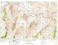
1962 · Winnemucca
USGS Topo · 1:250,000
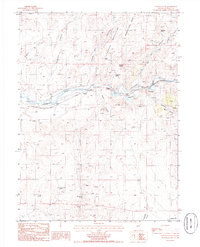
1985 · Scotts Gulch
USGS Topo · 1:24,000
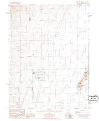
1985 · Crescent Valley
USGS Topo · 1:24,000