Old Maps of Chinatown, Nevada for Academic Research
Study the evolution of Chinatown with 11 high-resolution historic maps. Whether you're teaching, researching, or modeling changes in land use, these maps provide essential visual documentation of urban, environmental, and geographic change.
- Analyze long-term change: Track patterns in development, transportation, and natural features.
- Ideal for environmental or urban studies: Support academic projects with primary historical map data.
- Use in the classroom or lab: Educators and researchers rely on these maps to bring historical context to life.
These maps are a powerful tool for teaching, research, and visualizing how Chinatown has changed over the decades.
Chinatown, NV maps
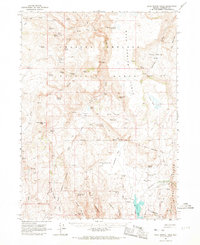
(11)- 1889 Map of Long Valley
 1889 Long Valley1889 Print · USGSNorthwestern Nevada was a land of high desert springs and remote outposts in the late nineteenth century. Researchers can trace the legacy of early military presence at Camp McGarry or locate crucial water sources like Massacre Lakes and Soldier Meadows.
 - 1954 Map of Vya, 1967 Print
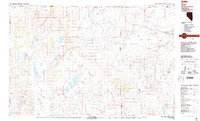
 1954 Vya1967 Print · USGSThe tri-state corner of Nevada, Oregon, and California appears here in the mid-fifties, dominated by wildlife refuges and massive naval gunnery ranges. Trace isolated high-desert outposts like Vya and Soldier Meadow Ranch or find historic workings at the Ashdown Mine.3 unique versions available
 - 1958 Map of Vya
 1958 Vya1958 Print · USGSNorthwest Nevada and the tri-state border region are mapped here during the mid-fifties, showing a remote landscape of high desert ranches and sprawling antelope range. Trace historic operations like the Ashdown Mine, find local camps like Coyote Camp, and locate isolated outposts from Vya to Denio.2 unique versions available
 - 1962 Map of Vya
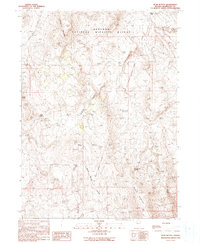
 1962 Vya1962 Print · USGSThe Nevada and Oregon borderlands in the early sixties reveal a landscape of isolated ranching outposts and high-desert mining. Researchers can trace historic family holdings like the Denio Ranch or locate early mineral sites including the Mcadoo Mine and Iron King Mine.
 - 1965 Map of Rock Spring Table, 1968 Print
 1965 Rock Spring Table1968 Print · USGSHumboldt County ranching and military history are preserved here in the mid-1960s, centered on the high plateaus and lake basins. Researchers can find the site of Camp McGarry (Ruins), the Summit Lake Cem, and landmarks like Wilson Ranch.2 unique versions available
 - 1987 Map of Vya
 1987 Vya1987 Print · USGSThe high-desert tri-state border region of Nevada, Oregon, and California is captured here in the late 1980s. Researchers can trace remote desert outposts like Vya, the Virgin Mine, and the unique hydrologic features of Massacre Lake and Hanging Rock Canyon.2 unique versions available
 - 1990 Map of Bear Buttes
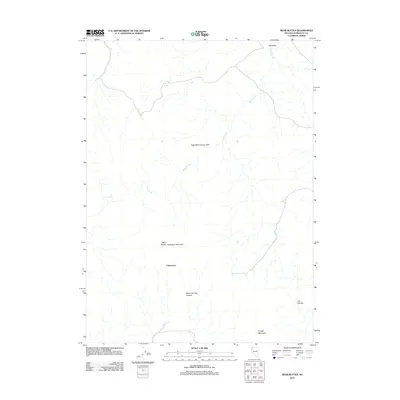
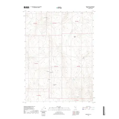
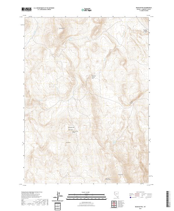
 1990 Bear Buttes1990 Print · USGSHumboldt County’s high desert plateau is captured here in the 1990s, revealing a landscape of remote wildlife habitat and ancient volcanic geology. Researchers can trace the Old Military Reservation Boundary or locate vital water sources like Tenmile Spring and Rock Spring.
 - 2011 Map of Bear Buttes, 2011 Print
 2011 Bear Buttes2011 Print · USGSCovers Chinatown, including Humboldt County, United States, and other nearby areas
 - 2015 Map of Bear Buttes, 2015 Print
 2015 Bear Buttes2015 Print · USGSCovers Chinatown, including Humboldt County, United States, and other nearby areas
 - 2018 Map of Bear Buttes, 2018 Print
 2018 Bear Buttes2018 Print · USGSCovers Chinatown, including Humboldt County, United States, and other nearby areas
 - 2021 Map of Bear Buttes, 2021 Print
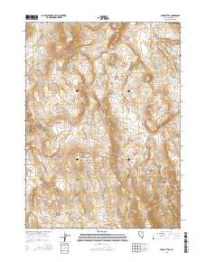
 2021 Bear Buttes2021 Print · USGSNorthwestern Nevada’s high desert is captured here in the early twenty-first century, showing a remote landscape of springs and isolated peaks. Researchers can trace the layout of Chinatown and locate vital water sources like Rock Spring and Tenmile Spring.
End of results
Showing maps 1-11 of 11
Frequently asked questions
- What are the different types of historical maps available for Chinatown?
- What is the oldest map of Chinatown?
- Where can I purchase historical maps of Chinatown for my home or office?
- Where can I download high-res historical maps of Chinatown?
- Are there historical topographic maps available for Chinatown?
- Is there historical aerial imagery available for Chinatown?
- Where are historical maps of Chinatown sourced from?