Old Maps of Alamo, Nevada for Academic Research
Study the evolution of Alamo with 10 high-resolution historic maps. Whether you're teaching, researching, or modeling changes in land use, these maps provide essential visual documentation of urban, environmental, and geographic change.
- Analyze long-term change: Track patterns in development, transportation, and natural features.
- Ideal for environmental or urban studies: Support academic projects with primary historical map data.
- Use in the classroom or lab: Educators and researchers rely on these maps to bring historical context to life.
These maps are a powerful tool for teaching, research, and visualizing how Alamo has changed over the decades.
Alamo, NV maps
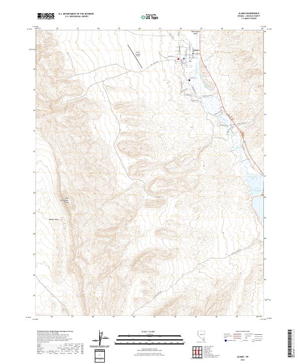
(10)- 1945 Map of Alamo
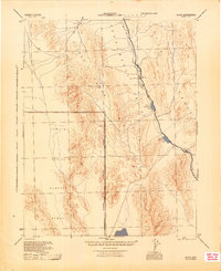 1945 Alamo1945 Print · USGSThe Pahranagat Valley during the mid-1940s reveals a sparse but vital desert settlement pattern centered on the town of Alamo. Researchers can trace the early footprint of the Tonopah Aerial Gunnery Range and find remote water sources like Upper Pahranagat Lake and Maynard Lake.
 - 1954 Map of Caliente
 1954 Caliente1954 Print · USGSLincoln County at mid-century reveals a landscape defined by the Union Pacific rail line and expanding Cold War military ranges. Researchers can trace the heritage of mining towns like Pioche, locate the Prince Mine, or find early airfields at Panaca Airport and Caliente.5 unique versions available
 - 1959 Map of Caliente
 1959 Caliente1959 Print · USGSSoutheast Nevada in the late fifties was a landscape of deep mines and sprawling military reservations. Genealogists and historians can trace the Union Pacific rail line through Caliente or locate operations like the Bristol Silver Mine and Groom Mine.2 unique versions available
 - 1969 Map of Alamo, 1973 Print
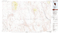
 1969 Alamo1973 Print · USGSAlamo and the surrounding valley floor are captured here in the late sixties as the area's agricultural and conservation identity solidified. Local researchers can locate family-named landmarks and civic sites like Buckhorn Ranch, Pahranagat HS, and the Rodeo Grounds.2 unique versions available
 - 1980 Map of Alamo, 1989 Print
 1980 Alamo1989 Print · USGSThe high-desert community of Alamo is captured here in the late sixties and early seventies, centered in the life of the Pahranagat Valley. Researchers can trace local landmarks like the Pahranagat Valley Sch, the Rodeo Grounds, and remote sites like Buckhorn Ranch.
 - 1985 Map of Pahranagat Range
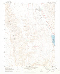
 1985 Pahranagat Range1985 Print · USGSLincoln County, Nevada, is captured in the mid-eighties as a region of expansive wildlife refuges and restricted military testing zones. Researchers can trace the water network from Ash Springs to Upper Pahranagat Lake or locate remote sites like the Groom Mine.2 unique versions available
 - 2012 Map of Alamo, 2012 Print
 2012 Alamo2012 Print · USGSCovers Alamo, including Lincoln County, United States, and other nearby areas
 - 2015 Map of Alamo, 2015 Print
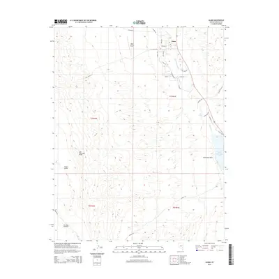 2015 Alamo2015 Print · USGSCovers Alamo, including Lincoln County, United States, and other nearby areas
 - 2018 Map of Alamo, 2018 Print
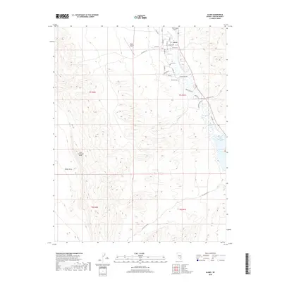 2018 Alamo2018 Print · USGSCovers Alamo, including Lincoln County, United States, and other nearby areas
 - 2021 Map of Alamo, 2021 Print
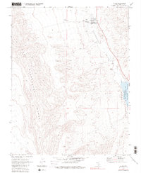
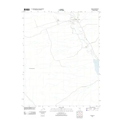
 2021 Alamo2021 Print · USGSThe Lincoln County desert comes into focus in this contemporary study of the Pahranagat Valley. Trace the irrigation of the Alamo Company E Ditch or locate family sites near the Alamo Cem and Upper Pahranagat Lake.
End of results
Showing maps 1-10 of 10
Frequently asked questions
- What are the different types of historical maps available for Alamo?
- What is the oldest map of Alamo?
- Where can I purchase historical maps of Alamo for my home or office?
- Where can I download high-res historical maps of Alamo?
- Are there historical topographic maps available for Alamo?
- Is there historical aerial imagery available for Alamo?
- Where are historical maps of Alamo sourced from?