Old Maps of Hiko, Nevada for Academic Research
Study the evolution of Hiko with 8 high-resolution historic maps. Whether you're teaching, researching, or modeling changes in land use, these maps provide essential visual documentation of urban, environmental, and geographic change.
- Analyze long-term change: Track patterns in development, transportation, and natural features.
- Ideal for environmental or urban studies: Support academic projects with primary historical map data.
- Use in the classroom or lab: Educators and researchers rely on these maps to bring historical context to life.
These maps are a powerful tool for teaching, research, and visualizing how Hiko has changed over the decades.
Hiko, NV maps
(8)- 1954 Map of Caliente
 1954 Caliente1954 Print · USGSLincoln County at mid-century reveals a landscape defined by the Union Pacific rail line and expanding Cold War military ranges. Researchers can trace the heritage of mining towns like Pioche, locate the Prince Mine, or find early airfields at Panaca Airport and Caliente.5 unique versions available
 - 1959 Map of Caliente
 1959 Caliente1959 Print · USGSSoutheast Nevada in the late fifties was a landscape of deep mines and sprawling military reservations. Genealogists and historians can trace the Union Pacific rail line through Caliente or locate operations like the Bristol Silver Mine and Groom Mine.2 unique versions available
 - 1970 Map of Hiko, 1973 Print
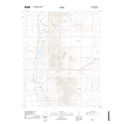
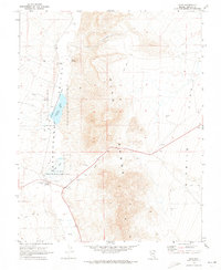 1970 Hiko1973 Print · USGSThe Pahranagat Valley of the early seventies remains a landscape defined by its springs and wildlife refuges. Genealogists and historians can trace local landmarks like Hiko Cem and Crystal Springs, or map out the basins of Nesbitt Lake and Frenchy Lake.2 unique versions available
 - 1988 Map of Timpahute Range
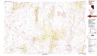 1988 Timpahute Range1988 Print · USGSLincoln County in the late eighties reveals a landscape where desert military zones meet historic valley settlements. Researchers can trace the water systems of Crystal Springs and Hiko or locate several mines tucked into the Mount Irish Range.
 - 2012 Map of Hiko, 2012 Print
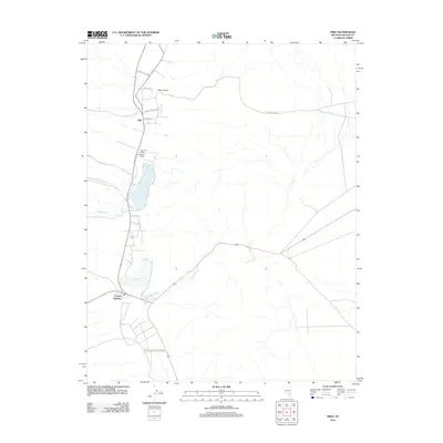 2012 Hiko2012 Print · USGSCovers Hiko, including Lincoln County, United States, and other nearby areas
 - 2015 Map of Hiko, 2015 Print
 2015 Hiko2015 Print · USGSCovers Hiko, including Lincoln County, United States, and other nearby areas
 - 2018 Map of Hiko, 2018 Print
 2018 Hiko2018 Print · USGSCovers Hiko, including Lincoln County, United States, and other nearby areas
 - 2021 Map of Hiko, 2021 Print
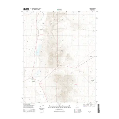
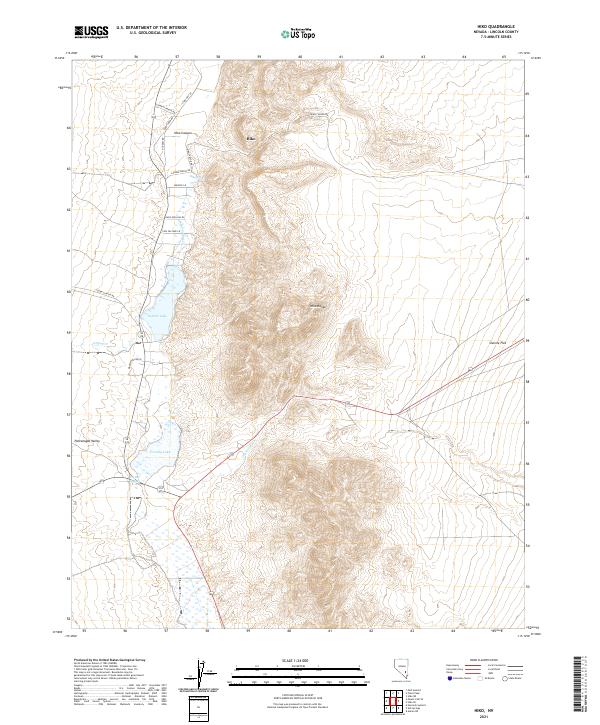 2021 Hiko2021 Print · USGSThe Pahranagat Valley of eastern Nevada is captured here in the early 2020s, showing a landscape shaped by vital desert waters. Trace the irrigation and ranching history of Hiko through local landmarks like Hiko Spring, Nesbitt Lake, and Stewart Ranch Rd.
End of results
Showing maps 1-8 of 8
Frequently asked questions
- What are the different types of historical maps available for Hiko?
- What is the oldest map of Hiko?
- Where can I purchase historical maps of Hiko for my home or office?
- Where can I download high-res historical maps of Hiko?
- Are there historical topographic maps available for Hiko?
- Is there historical aerial imagery available for Hiko?
- Where are historical maps of Hiko sourced from?