Old Maps of Rachel, Nevada for Academic Research
Study the evolution of Rachel with 10 high-resolution historic maps. Whether you're teaching, researching, or modeling changes in land use, these maps provide essential visual documentation of urban, environmental, and geographic change.
- Analyze long-term change: Track patterns in development, transportation, and natural features.
- Ideal for environmental or urban studies: Support academic projects with primary historical map data.
- Use in the classroom or lab: Educators and researchers rely on these maps to bring historical context to life.
These maps are a powerful tool for teaching, research, and visualizing how Rachel has changed over the decades.
Rachel, NV maps
(10)- 1942 Map of Penoyer Valley
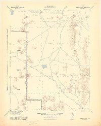 1942 Penoyer Valley1942 Print · USGSLincoln County mining and military operations are documented in the early 1940s, just as the basin became a strategic defense zone. Trace early settlements and mining sites like Tem Piute and Freiburg or locate critical desert water sources at Sand Spring.
 - 1954 Map of Caliente
 1954 Caliente1954 Print · USGSLincoln County at mid-century reveals a landscape defined by the Union Pacific rail line and expanding Cold War military ranges. Researchers can trace the heritage of mining towns like Pioche, locate the Prince Mine, or find early airfields at Panaca Airport and Caliente.5 unique versions available
 - 1959 Map of Caliente
 1959 Caliente1959 Print · USGSSoutheast Nevada in the late fifties was a landscape of deep mines and sprawling military reservations. Genealogists and historians can trace the Union Pacific rail line through Caliente or locate operations like the Bristol Silver Mine and Groom Mine.2 unique versions available
 - 1964 Map of Tempiute Mtn, 1965 Print
 1964 Tempiute Mtn1965 Print · USGSLincoln County mining and high-desert terrain are documented here in the mid-1960s, showing the intersection of industry and isolation. Researchers can trace the layout of the Tempiute Historic Site and locate remote operations like the Lincoln Mine or Andies Mine.2 unique versions available
 - 1987 Map of Tempiute Mountain North
 1987 Tempiute Mountain North1987 Print · USGSLincoln County mining and desert life are recorded here in the late eighties, just south of the Worthington Mountains. Genealogists and historians can locate the small settlement of Tempiute, a remote Landing Strip, and several mineral Prospect sites.
 - 1988 Map of Timpahute Range
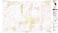 1988 Timpahute Range1988 Print · USGSLincoln County in the late eighties reveals a landscape where desert military zones meet historic valley settlements. Researchers can trace the water systems of Crystal Springs and Hiko or locate several mines tucked into the Mount Irish Range.
 - 2012 Map of Tempiute Mountain North, 2012 Print
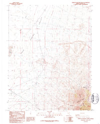
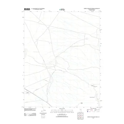 2012 Tempiute Mountain North2012 Print · USGSCovers Rachel, including Lincoln County, United States, and other nearby areas
 - 2014 Map of Tempiute Mountain North, 2014 Print
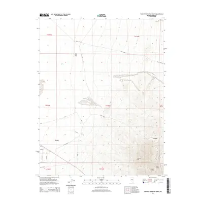 2014 Tempiute Mountain North2014 Print · USGSCovers Rachel, including Lincoln County, United States, and other nearby areas
 - 2018 Map of Tempiute Mountain North, 2018 Print
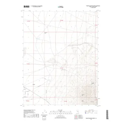 2018 Tempiute Mountain North2018 Print · USGSCovers Rachel, including Lincoln County, United States, and other nearby areas
 - 2021 Map of Tempiute Mountain North, 2021 Print
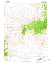
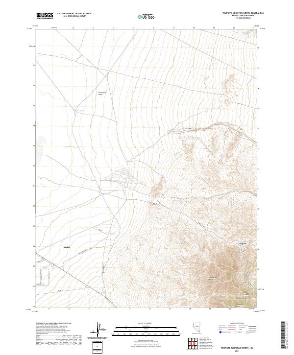 2021 Tempiute Mountain North2021 Print · USGSThe high desert of Lincoln County is shown here in the early twenty-first century, centered on the community of Rachel. Local history researchers can trace the roads and water sources of the Sand Spring Valley, including Tem Piute Spring and the Tempiute Mine Rd.
End of results
Showing maps 1-10 of 10
Frequently asked questions
- What are the different types of historical maps available for Rachel?
- What is the oldest map of Rachel?
- Where can I purchase historical maps of Rachel for my home or office?
- Where can I download high-res historical maps of Rachel?
- Are there historical topographic maps available for Rachel?
- Is there historical aerial imagery available for Rachel?
- Where are historical maps of Rachel sourced from?