Old Maps of Davis Station, Nevada for Metal Detecting
Plan your next treasure hunt with 12 historic maps of Davis Station. Find old homesites, ghost towns, trails, and gathering spots that may be lost to time — perfect for identifying promising metal detecting locations.
- Locate forgotten sites: Uncover places like long-lost settlements, abandoned rail lines, or gathering spots.
- Plan better hunts: Use map overlays combined with LiDAR or satellite views to narrow in on historically rich areas.
- Made for detectorists: Thousands of hobbyists use these maps to discover relics, coins, and hidden history.
Use these historic maps to boost your research and find new opportunities beneath the surface of Davis Station.
Davis Station, NV maps
(12)- 1891 Map of Wabuska
 1891 Wabuska1891 Print · USGSWestern Nevada’s high desert comes into focus in the 1890s, centering on the vital rail connection at Wabuska. Researchers can trace the early layout of Mason Valley and locate vanished station stops and landmarks like Stockton Well and Clifton.
 - 1894 Map of Wabuska
 1894 Wabuska1894 Print · USGSWestern Nevada at the close of the century shows a landscape of rail-connected outposts and river-fed valleys. Researchers can trace the early tracks of the Colorado River Railroad as it passes through Wabuska and the Walker Lake Indian Reservation.6 unique versions available
 - 1957 Map of Silver Springs, 1959 Print
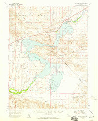 1957 Silver Springs1959 Print · USGSSilver Springs and the surrounding basin are shown during a period of mid-century growth following the establishment of the Lahontan Reservoir. Researchers can trace early street layouts in Silver Springs, find old water sources like Hooten Well, and locate the Lahontan Dam and Churchill Landing Strip.3 unique versions available
 - 1957 Map of Reno, 1963 Print
 1957 Reno1963 Print · USGSWestern Nevada in the early sixties is a land of sprawling desert sinks and rising mountain ranges. Genealogists and historians can trace the rail-and-river network connecting Reno, the mining legacy of Rawhide Mine, and the boundaries of the Pyramid Lake Indian Reservation.5 unique versions available
 - 1959 Map of Reno
 1959 Reno1959 Print · USGSWestern Nevada in the late fifties was a land of expanding military airbases and high-desert irrigation projects. You can trace the lineage of the Comstock era through Carson City, locate the Pony Express Monument, or study the rail networks of the Southern Pacific RR.
 - 1960 Map of Reno
 1960 Reno1960 Print · USGSThe high desert of western Nevada comes alive in this mid-century survey of the Reno-Tahoe region. Genealogists and historians can trace rail lines like the Southern Pacific RR and locate remote outposts such as Olinghouse, Nixon, and the Olinghouse Mine.2 unique versions available
 - 1979 Map of Carson City, 1980 Print
 1979 Carson City1980 Print · USGSWestern Nevada in the late seventies reveals a landscape of historic mining districts and expanding mountain communities. Researchers can trace the Comstock Lode through Virginia City, locate the Stewart Indian School, or explore the shores of Lake Tahoe near Incline Village.2 unique versions available
 - 1985 Map of Silver Springs South
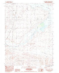 1985 Silver Springs South1985 Print · USGSNevada's high desert meets the water at Silver Springs during the mid-1980s, revealing a landscape defined by irrigation and early trails. Genealogists and historians can trace the Pony Express Simpson Route or locate early water sources like Stockton Well and Lahontan Well.2 unique versions available
 - 2011 Map of Silver Springs South, 2011 Print
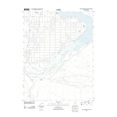 2011 Silver Springs South2011 Print · USGSCovers Davis Station, including Lyon County, United States, and other nearby areas
 - 2014 Map of Silver Springs South, 2014 Print
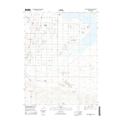 2014 Silver Springs South2014 Print · USGSCovers Davis Station, including Lyon County, United States, and other nearby areas
 - 2018 Map of Silver Springs South, 2018 Print
 2018 Silver Springs South2018 Print · USGSCovers Davis Station, including Lyon County, United States, and other nearby areas
 - 2021 Map of Silver Springs South, 2021 Print
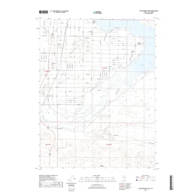
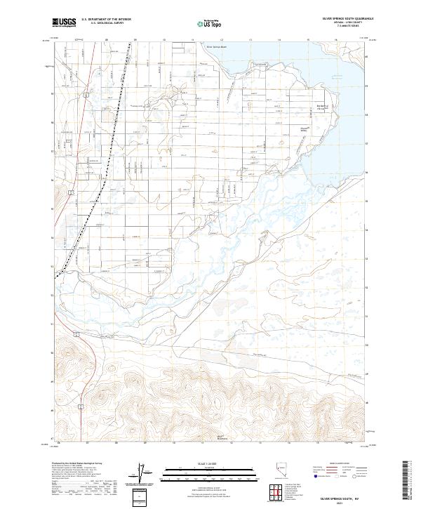 2021 Silver Springs South2021 Print · USGSThe northern shores of the reservoir and the high-desert valley are surveyed here in the early twenty-first century. Researchers can trace the historical Pony Express Rte through Churchill Valley and explore the residential growth near Silver Springs Beach.
End of results
Showing maps 1-12 of 12
Top cities near Davis Station
Frequently asked questions
- What are the different types of historical maps available for Davis Station?
- What is the oldest map of Davis Station?
- Where can I purchase historical maps of Davis Station for my home or office?
- Where can I download high-res historical maps of Davis Station?
- Are there historical topographic maps available for Davis Station?
- Is there historical aerial imagery available for Davis Station?
- Where are historical maps of Davis Station sourced from?