Old Maps of Stagecoach, Nevada for Academic Research
Study the evolution of Stagecoach with 12 high-resolution historic maps. Whether you're teaching, researching, or modeling changes in land use, these maps provide essential visual documentation of urban, environmental, and geographic change.
- Analyze long-term change: Track patterns in development, transportation, and natural features.
- Ideal for environmental or urban studies: Support academic projects with primary historical map data.
- Use in the classroom or lab: Educators and researchers rely on these maps to bring historical context to life.
These maps are a powerful tool for teaching, research, and visualizing how Stagecoach has changed over the decades.
Stagecoach, NV maps
(12)- 1891 Map of Wabuska
 1891 Wabuska1891 Print · USGSWestern Nevada’s high desert comes into focus in the 1890s, centering on the vital rail connection at Wabuska. Researchers can trace the early layout of Mason Valley and locate vanished station stops and landmarks like Stockton Well and Clifton.
 - 1894 Map of Wabuska
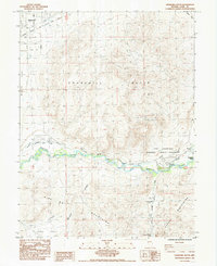
 1894 Wabuska1894 Print · USGSWestern Nevada at the close of the century shows a landscape of rail-connected outposts and river-fed valleys. Researchers can trace the early tracks of the Colorado River Railroad as it passes through Wabuska and the Walker Lake Indian Reservation.6 unique versions available
 - 1957 Map of Churchill Butte, 1959 Print
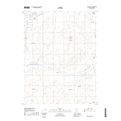
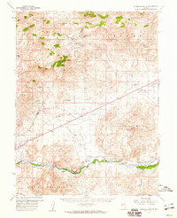 1957 Churchill Butte1959 Print · USGSThe Carson River valley in the late fifties reveals a landscape of pioneer ruins and active mining. Trace the remnants of Fort Churchill near the Southern Pacific tracks or locate high-desert mines like the Ramsey Comstock Mine and Talapoosa.3 unique versions available
 - 1957 Map of Reno, 1963 Print
 1957 Reno1963 Print · USGSWestern Nevada in the early sixties is a land of sprawling desert sinks and rising mountain ranges. Genealogists and historians can trace the rail-and-river network connecting Reno, the mining legacy of Rawhide Mine, and the boundaries of the Pyramid Lake Indian Reservation.5 unique versions available
 - 1959 Map of Reno
 1959 Reno1959 Print · USGSWestern Nevada in the late fifties was a land of expanding military airbases and high-desert irrigation projects. You can trace the lineage of the Comstock era through Carson City, locate the Pony Express Monument, or study the rail networks of the Southern Pacific RR.
 - 1960 Map of Reno
 1960 Reno1960 Print · USGSThe high desert of western Nevada comes alive in this mid-century survey of the Reno-Tahoe region. Genealogists and historians can trace rail lines like the Southern Pacific RR and locate remote outposts such as Olinghouse, Nixon, and the Olinghouse Mine.2 unique versions available
 - 1979 Map of Carson City, 1980 Print
 1979 Carson City1980 Print · USGSWestern Nevada in the late seventies reveals a landscape of historic mining districts and expanding mountain communities. Researchers can trace the Comstock Lode through Virginia City, locate the Stewart Indian School, or explore the shores of Lake Tahoe near Incline Village.2 unique versions available
 - 1985 Map of Churchill Butte
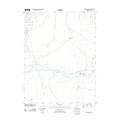
 1985 Churchill Butte1985 Print · USGSLyon County in the mid-1980s reveals a desert landscape deeply defined by pioneer heritage and the vital Carson River. You can trace the path of the California Emigrant Trail as it passes through the Fort Churchill Historic State Monument and Bucklands Station.2 unique versions available
 - 2011 Map of Churchill Butte, 2011 Print
 2011 Churchill Butte2011 Print · USGSCovers Stagecoach, including Churchill, Lyon County, and other nearby areas
 - 2015 Map of Churchill Butte, 2015 Print
 2015 Churchill Butte2015 Print · USGSCovers Stagecoach, including Churchill, Lyon County, and other nearby areas
 - 2018 Map of Churchill Butte, 2018 Print
 2018 Churchill Butte2018 Print · USGSCovers Stagecoach, including Churchill, Lyon County, and other nearby areas
 - 2021 Map of Churchill Butte, 2021 Print
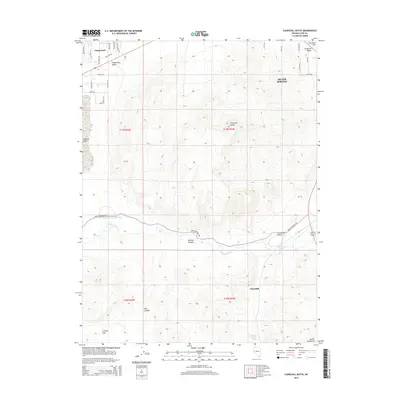
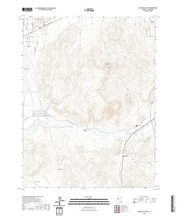 2021 Churchill Butte2021 Print · USGSThe high desert of Lyon County is captured here in recent years, showing the intersection of historical transit and modern land management. Researchers can trace the path of the California Emigrant Trl and locate landmarks like the Churchill Cem and Churchill Station Spring.
End of results
Showing maps 1-12 of 12
Top cities near Stagecoach
Frequently asked questions
- What are the different types of historical maps available for Stagecoach?
- What is the oldest map of Stagecoach?
- Where can I purchase historical maps of Stagecoach for my home or office?
- Where can I download high-res historical maps of Stagecoach?
- Are there historical topographic maps available for Stagecoach?
- Is there historical aerial imagery available for Stagecoach?
- Where are historical maps of Stagecoach sourced from?