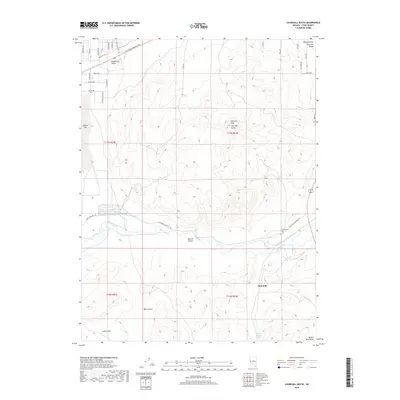
2018 Map of Churchill Butte
USGS Topo · Published 2018About this map
The Carson River flows across this Lyon County landscape, a vital water source that defined early western travel and ranching. The historic California Emigrant Trl cuts through the northern and central sections, tracing the same path used by gold-seekers and settlers. At the foot of the Desert Mountains, the settlement of Churchill and the nearby Churchill Cem provide focal points for local history, while the Houghman-and-Howard Ditch indicates the intensive water management required in this arid environment.
Find a feature on this map
40 named features on this map. Tap any name to fly to it.
Don’t see what you’re looking for? This feature index may not catch every label — zoom into the map to look around manually.
Map Details
Editions of this 2018 Churchill Butte Map
This is the sole edition of this map. No revisions or reprints were ever made.
Other maps of this area

1891 · Wabuska
USGS Topo · 1:125,000

1894 · Wabuska
USGS Topo · 1:125,000

1957 · Como
USGS Topo · 1:62,500

1957 · Wabuska
USGS Topo · 1:62,500

1957 · Churchill Butte
USGS Topo · 1:62,500

1957 · Silver Springs
USGS Topo · 1:62,500

1957 · Reno
USGS Topo · 1:250,000

1959 · Reno
USGS Topo · 1:250,000

1960 · Reno
USGS Topo · 1:250,000

1979 · Carson City
USGS Topo · 1:100,000