Old Maps of Schurz, Nevada for Metal Detecting
Plan your next treasure hunt with 14 historic maps of Schurz. Find old homesites, ghost towns, trails, and gathering spots that may be lost to time — perfect for identifying promising metal detecting locations.
- Locate forgotten sites: Uncover places like long-lost settlements, abandoned rail lines, or gathering spots.
- Plan better hunts: Use map overlays combined with LiDAR or satellite views to narrow in on historically rich areas.
- Made for detectorists: Thousands of hobbyists use these maps to discover relics, coins, and hidden history.
Use these historic maps to boost your research and find new opportunities beneath the surface of Schurz.
Schurz, NV maps
(14)- 1909 Map of Hawthorne, 1955 Print
 1909 Hawthorne1955 Print · USGSWestern Nevada and the California borderlands are captured here during the height of the early mining era. Genealogists and historians can trace rail-depot life and remote outposts from Hawthorne to Belleville, including vanished sites like Oro City and Buckley Camp.
 - 1911 Map of Hawthorne
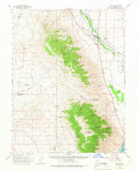
 1911 Hawthorne1911 Print · USGSEarly Nevada mining and rail history come alive in this survey of the Walker Lake region during the era of steam and silver. Researchers can trace the routes of the Southern Pacific System and locate the sites of Lucky Boy, Marietta, and Belleville.4 unique versions available
 - 1915 Map of Hawthorne, 1951 Print
 1915 Hawthorne1951 Print · USGSWestern Nevada at the turn of the century shows a landscape dominated by mining outposts and the reaching arms of the Southern Pacific System. Genealogists can trace early residents to sites like Candelaria, Sodaville, and Mina or locate vanished camps such as Buckley Camp.
 - 1948 Map of Walker Lake
 1948 Walker Lake1948 Print · USGSThe high desert of Nevada and the eastern Sierra Nevada are captured just after the war as mining and ranching shaped the local economy. Genealogists can trace family connections to centers like Hawthorne and Mina or locate the historic Rockland Mines and Aurora.2 unique versions available
 - 1957 Map of Walker Lake
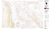
 1957 Walker Lake1957 Print · USGSThe Nevada-California borderlands in the mid-1950s show a rugged network of mining camps and river-valley towns centered around Walker Lake. Researchers can trace the Southern Pacific rail line and locate historical sites like Bodie, Sodaville, and the Leviathan Sulphur Mine.4 unique versions available
 - 1962 Map of Walker Lake
 1962 Walker Lake1962 Print · USGSThe high desert of western Nevada and the Sierra Nevada crest meet in this mid-century study of the Eastern Sierra frontier. Researchers can trace the Southern Pacific rail lines connecting Hawthorne to remote mining outposts like Bodie, Aurora, and Mina.
 - 1964 Map of Walker Lake
 1964 Walker Lake1964 Print · USGSThe high desert and the Sierra Nevada peaks come together in the mid-1960s, showing a landscape defined by mining, military installations, and vast wilderness. Genealogists and historians can trace the remnants of old mining camps at Bodie or Candelaria and follow the Southern Pacific rail lines.2 unique versions available
 - 1964 Map of Schurz, 1966 Print
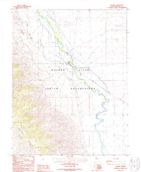
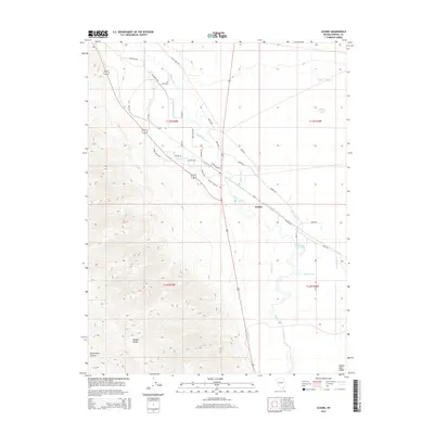
 1964 Schurz1966 Print · USGSThe community of Schurz and the surrounding reservation land are documented here in the mid-1960s as a vital desert crossroads. Genealogists and historians can trace the Southern Pacific line past the Hospital or locate mining sites like Northern Lights Mine.2 unique versions available
 - 1985 Map of Walker Lake
 1985 Walker Lake1985 Print · USGSMineral County in the mid-1980s reveals a unique landscape of military expansion and high-desert settlement. Researchers can trace the massive Hawthorne Ammunition Depot, find old mining sites like the Rita Mine, and locate the Southern Pacific rail line.2 unique versions available
 - 1988 Map of Schurz
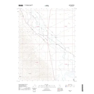
 1988 Schurz1988 Print · USGSSchurz and the surrounding Mineral County desert are captured in the late eighties as the region balanced its rail-dependent history with modern infrastructure. Researchers can trace the Southern Pacific rail line as it skirts the Walker River and locate local landmarks like the Cem and Schurz Airport.
 - 2011 Map of Schurz, 2011 Print
 2011 Schurz2011 Print · USGSCovers Schurz, including Mineral County, United States, and other nearby areas
 - 2015 Map of Schurz, 2015 Print
 2015 Schurz2015 Print · USGSCovers Schurz, including Mineral County, United States, and other nearby areas
 - 2018 Map of Schurz, 2018 Print
 2018 Schurz2018 Print · USGSCovers Schurz, including Mineral County, United States, and other nearby areas
 - 2021 Map of Schurz, 2021 Print
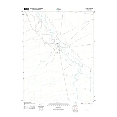
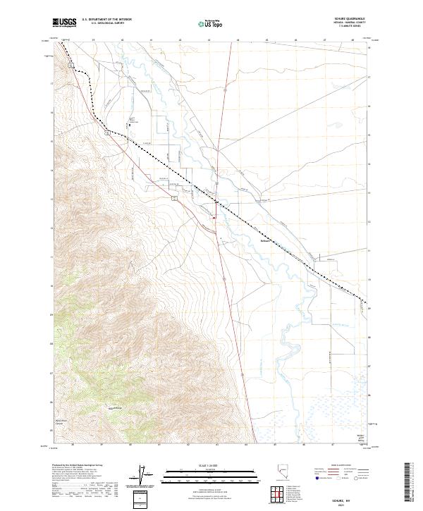 2021 Schurz2021 Print · USGSSchurz and the Walker River Valley are captured here in the early twenty-first century, showcasing the vital intersection of water and desert life. Researchers can trace irrigation networks like Canal Number One and locate community landmarks including the Schurz Paiute Indian Cem.
End of results
Showing maps 1-14 of 14
Frequently asked questions
- What are the different types of historical maps available for Schurz?
- What is the oldest map of Schurz?
- Where can I purchase historical maps of Schurz for my home or office?
- Where can I download high-res historical maps of Schurz?
- Are there historical topographic maps available for Schurz?
- Is there historical aerial imagery available for Schurz?
- Where are historical maps of Schurz sourced from?