Old Maps of Belmont, Nevada
Explore 9 old maps of Belmont, spanning from 1956 to today. These high-resolution historic maps reveal how streets, neighborhoods, landmarks, and natural features evolved over time — perfect for genealogy, metal detecting, research, and local history exploration.
What you can do with these maps:
- See how Belmont changed over time: Compare historical maps to modern-day views to trace roads, homesites, rail lines & more.
- View detailed metadata: Each map includes creators, publishers, year, scale, and archive source.
- Overlay maps with satellite & LiDAR: Visualize the past alongside modern tools to explore terrain & human change.
- Trusted historical sources: Maps sourced from the USGS, Library of Congress, and other archives.
- Access maps your way: View online, download high-res files, or order prints for personal or research use.
Start exploring old maps of Belmont to uncover forgotten places, hidden landmarks, and the deep history beneath your feet.
Belmont, NV maps
(9)- 1956 Map of Tonopah, 1974 Print
 1956 Tonopah1974 Print · USGSCentral Nevada in the mid-fifties reveals a landscape shaped by mining and military footprints. Trace old silver districts near Tonopah and Manhattan, or locate early industrial sites like the Borax works at Columbus Salt Marsh.2 unique versions available
 - 1959 Map of Tonopah
 1959 Tonopah1959 Print · USGSCentral Nevada in the late fifties is a landscape of high desert ranges and mining history. Trace the remnants of old boomtowns and industrial sites like Berlin, the Gold Hill Mill, and the Victory Tungsten Mine.2 unique versions available
 - 1962 Map of Tonopah
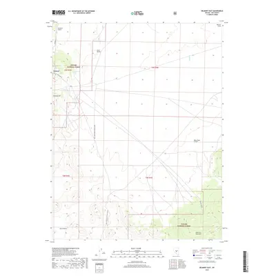
 1962 Tonopah1962 Print · USGSCentral Nevada's high desert mining country is captured here during the early sixties, showing the enduring footprint of the silver and gold rushes. Researchers can trace the decline of historic camps and locate industrial sites like the Tybo Mine, Victory Tungsten Mine, and the Mt. Moriah Cemetery.2 unique versions available
 - 1971 Map of Belmont East, 1974 Print
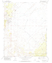 1971 Belmont East1974 Print · USGSBelmont's mining legacy is recorded here in the early 1970s, showing the industrial infrastructure at the edge of the forest. Researchers can trace the silver boom through the Belmont Shaft, Combination Mill (Ruins), and the lonely markers at Cemetery Hill.
 - 1978 Map of Mount Jefferson
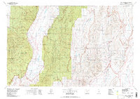 1978 Mount Jefferson1978 Print · USGSHigh desert basins and mining history in central Nevada are captured here in the late seventies. Researchers can trace the layout of Belmont, locate a local Cemetery, and explore remote landmarks like Moores Station or Northumberland Cave.
 - 2012 Map of Belmont East, 2012 Print
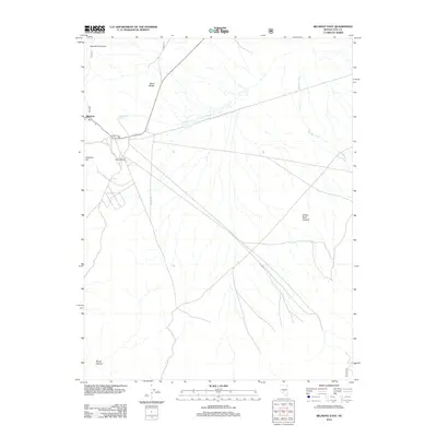 2012 Belmont East2012 Print · USGSCovers Belmont, including Nye County, United States, and other nearby areas
 - 2014 Map of Belmont East, 2014 Print
 2014 Belmont East2014 Print · USGSCovers Belmont, including Nye County, United States, and other nearby areas
 - 2018 Map of Belmont East, 2018 Print
 2018 Belmont East2018 Print · USGSCovers Belmont, including Nye County, United States, and other nearby areas
 - 2021 Map of Belmont East, 2021 Print
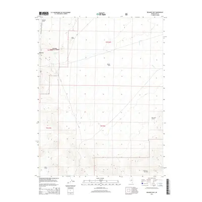
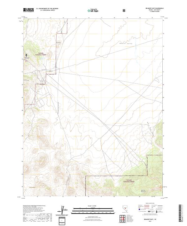 2021 Belmont East2021 Print · USGSThe area surrounding Belmont in the early twenty-first century remains a landscape of high-desert peaks and remote canyons. Researchers can trace the path of the Freight Route Trl and locate local landmarks such as Cemetery Hill and Horse Heaven.
End of results
Showing maps 1-9 of 9
Frequently asked questions
- What are the different types of historical maps available for Belmont?
- What is the oldest map of Belmont?
- Where can I purchase historical maps of Belmont for my home or office?
- Where can I download high-res historical maps of Belmont?
- Are there historical topographic maps available for Belmont?
- Is there historical aerial imagery available for Belmont?
- Where are historical maps of Belmont sourced from?