Old Maps of Grant Canyon, Nevada for Metal Detecting
Plan your next treasure hunt with 9 historic maps of Grant Canyon. Find old homesites, ghost towns, trails, and gathering spots that may be lost to time — perfect for identifying promising metal detecting locations.
- Locate forgotten sites: Uncover places like long-lost settlements, abandoned rail lines, or gathering spots.
- Plan better hunts: Use map overlays combined with LiDAR or satellite views to narrow in on historically rich areas.
- Made for detectorists: Thousands of hobbyists use these maps to discover relics, coins, and hidden history.
Use these historic maps to boost your research and find new opportunities beneath the surface of Grant Canyon.
Grant Canyon, NV maps
(9)- 1956 Map of Lund, 1963 Print
 1956 Lund1963 Print · USGSEastern Nevada and the Utah borderlands are mapped here during the mid-fifties, showing a landscape of high-desert ranches and mountain mining camps. Genealogists and historians can trace family locations through sites like Bristol Silver Mines, Lund, and the Sunnyside Whipple Ranch.2 unique versions available
 - 1960 Map of Lund
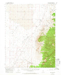
 1960 Lund1960 Print · USGSEastern Nevada and the Utah borderlands are mapped here during the mid-twentieth century, showing a landscape of high peaks and isolated ranching outposts. Researchers can locate remote mining sites like the Tungsten Queen Mine and early settlements including Lund and Shoshone.
 - 1964 Map of Troy Canyon, 1966 Print
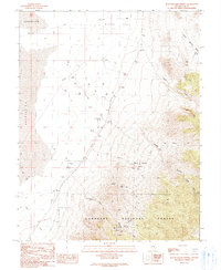
 1964 Troy Canyon1966 Print · USGSRailroad Valley and the Grant Range are captured in the mid-1960s, showing a high-desert landscape shaped by ranching and mineral exploration. Genealogists and historians can locate family landmarks like the Bordoli Ranch and prospect sites such as Terrells Mine.
 - 1988 Map of Quinn Canyon Range
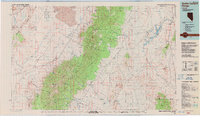 1988 Quinn Canyon Range1988 Print · USGSNye County's high-desert interior is shown here in the late eighties as a land of remote ranching outposts and strategic water management. Researchers can locate isolated settlements like Adaven and Nyala, or trace the flow of the White River into Whipple Reservoir.
 - 1990 Map of Bullwhacker Springs
 1990 Bullwhacker Springs1990 Print · USGSNye County's high desert reveals its mining and ranching history in the years before the turn of the millennium. Trace historical mineral exploration through the Terrell Mine and Irwin Mine, or locate vital water sources like Bullwhacker Springs and Willow Springs.
 - 2012 Map of Bullwhacker Springs, 2012 Print
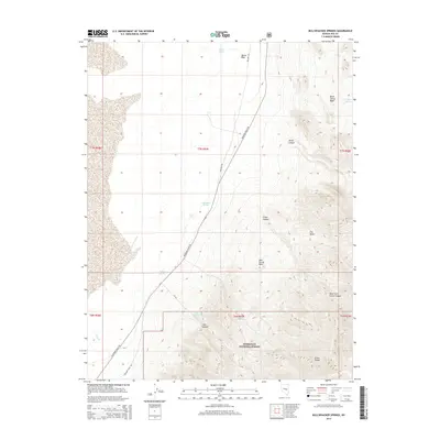
 2012 Bullwhacker Springs2012 Print · USGSCovers Grant Canyon, including Nye County, United States, and other nearby areas
 - 2014 Map of Bullwhacker Springs, 2014 Print
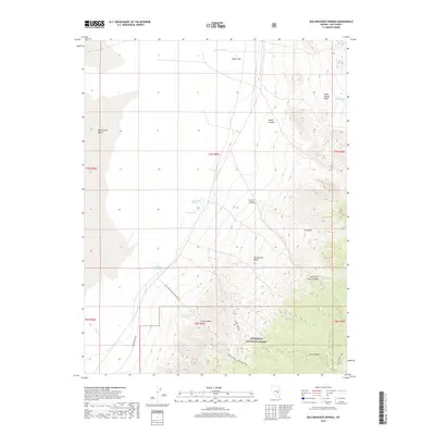
 2014 Bullwhacker Springs2014 Print · USGSCovers Grant Canyon, including Nye County, United States, and other nearby areas
 - 2018 Map of Bullwhacker Springs, 2018 Print
 2018 Bullwhacker Springs2018 Print · USGSCovers Grant Canyon, including Nye County, United States, and other nearby areas
 - 2021 Map of Bullwhacker Springs, 2021 Print
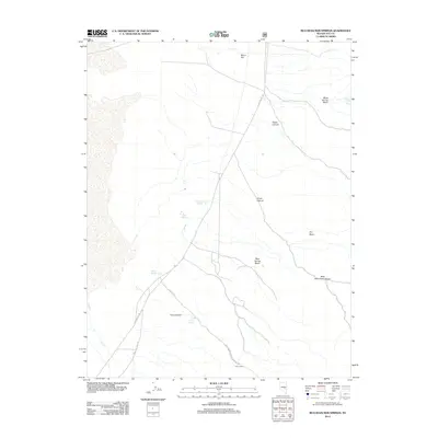
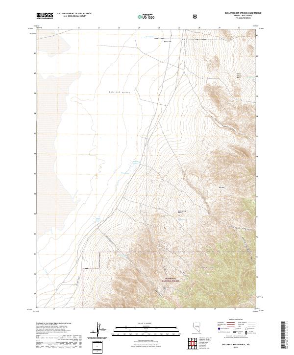 2021 Bullwhacker Springs2021 Print · USGSNye County's high-desert landscape is captured here in the early twenty-first century, showing the steep ascent from Railroad Valley into the Grant Range. Trace vital water sources like Bullwhacker Springs and Bacon Springs along the edge of the Humboldt National Forest.
End of results
Showing maps 1-9 of 9
Frequently asked questions
- What are the different types of historical maps available for Grant Canyon?
- What is the oldest map of Grant Canyon?
- Where can I purchase historical maps of Grant Canyon for my home or office?
- Where can I download high-res historical maps of Grant Canyon?
- Are there historical topographic maps available for Grant Canyon?
- Is there historical aerial imagery available for Grant Canyon?
- Where are historical maps of Grant Canyon sourced from?