Old Maps of North Gabbs, Nye County
Explore 13 old maps of North Gabbs, spanning from 1907 to today. These high-resolution historic maps reveal how streets, neighborhoods, landmarks, and natural features evolved over time — perfect for genealogy, metal detecting, research, and local history exploration.
What you can do with these maps:
- See how North Gabbs changed over time: Compare historical maps to modern-day views to trace roads, homesites, rail lines & more.
- View detailed metadata: Each map includes creators, publishers, year, scale, and archive source.
- Overlay maps with satellite & LiDAR: Visualize the past alongside modern tools to explore terrain & human change.
- Trusted historical sources: Maps sourced from the USGS, Library of Congress, and other archives.
- Access maps your way: View online, download high-res files, or order prints for personal or research use.
Start exploring old maps of North Gabbs to uncover forgotten places, hidden landmarks, and the deep history beneath your feet.
North Gabbs, Nye County maps
(13)- 1907 Map of Tonopah, 1955 Print
 1907 Tonopah1955 Print · USGSCentral Nevada's mining heartland comes alive in this survey of the high desert and mountain ranges at the peak of the silver and gold booms. Researchers can trace the early rail networks of the Goldfield RR and locate sites like Round Mountain, the Orizaba Mine, and Darrough's Hot Springs.
 - 1908 Map of Tonopah
 1908 Tonopah1908 Print · USGSCentral Nevada's mining boom is frozen in time in this early century survey of the Tonopah and Manhattan districts. Trace the old Tonopah and Goldfield RR lines to vanished camps like Berlin and active sites such as the Nevada Mine.3 unique versions available
 - 1948 Map of Paradise Peak
 1948 Paradise Peak1948 Print · USGSMining and desert settlement come into focus in 1940s Nye County, where industrial camps and high peaks define the landscape. Trace the history of the mineral boom through the Sierra Magnesite Camp, the Downeyville site, and the remote Victory Tungsten Mine.2 unique versions available
 - 1950 Map of Paradise Peak
 1950 Paradise Peak1950 Print · USGSMid-century mining operations dominate this Nye County landscape as industrial magnesite and tungsten extraction centers around Brucite. Local historians can trace the foundations of Downeyville or the active Illinois Mine and Paradise Mine.
 - 1956 Map of Tonopah, 1974 Print
 1956 Tonopah1974 Print · USGSCentral Nevada in the mid-fifties reveals a landscape shaped by mining and military footprints. Trace old silver districts near Tonopah and Manhattan, or locate early industrial sites like the Borax works at Columbus Salt Marsh.2 unique versions available
 - 1959 Map of Tonopah
 1959 Tonopah1959 Print · USGSCentral Nevada in the late fifties is a landscape of high desert ranges and mining history. Trace the remnants of old boomtowns and industrial sites like Berlin, the Gold Hill Mill, and the Victory Tungsten Mine.2 unique versions available
 - 1962 Map of Tonopah
 1962 Tonopah1962 Print · USGSCentral Nevada's high desert mining country is captured here during the early sixties, showing the enduring footprint of the silver and gold rushes. Researchers can trace the decline of historic camps and locate industrial sites like the Tybo Mine, Victory Tungsten Mine, and the Mt. Moriah Cemetery.2 unique versions available
 - 1985 Map of Ione Valley
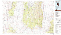 1985 Ione Valley1985 Print · USGSCentral Nevada in the mid-eighties was a landscape of high desert basins and legendary mining districts. Genealogists and historians can trace the foundations of Round Mountain, the operations of the Manhattan Dredge, and the locations of remote sites like Grantsville and Ione.2 unique versions available
 - 1988 Map of Gabbs
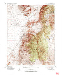
 1988 Gabbs1988 Print · USGSGabbs and the surrounding Paradise Range mining districts are captured here in the late 1980s. Genealogists and industrial historians can trace active and former operations like the Sierra Mine, the Brucite site, and the Lucky Strike Mine.
 - 2011 Map of Gabbs, 2011 Print
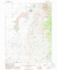
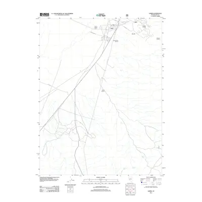 2011 Gabbs2011 Print · USGSCovers North Gabbs, including Gabbs, Nye County, and other nearby areas
 - 2014 Map of Gabbs, 2014 Print
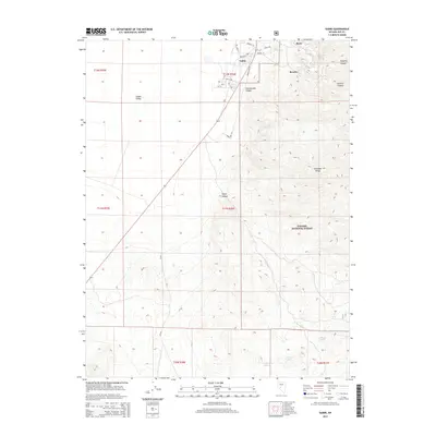 2014 Gabbs2014 Print · USGSCovers North Gabbs, including Gabbs, Nye County, and other nearby areas
 - 2018 Map of Gabbs, 2018 Print
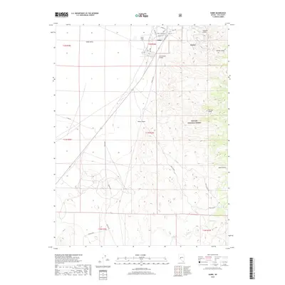 2018 Gabbs2018 Print · USGSCovers North Gabbs, including Gabbs, Nye County, and other nearby areas
 - 2021 Map of Gabbs, 2021 Print
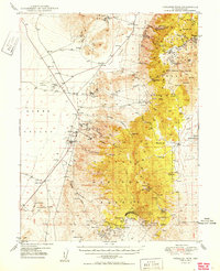
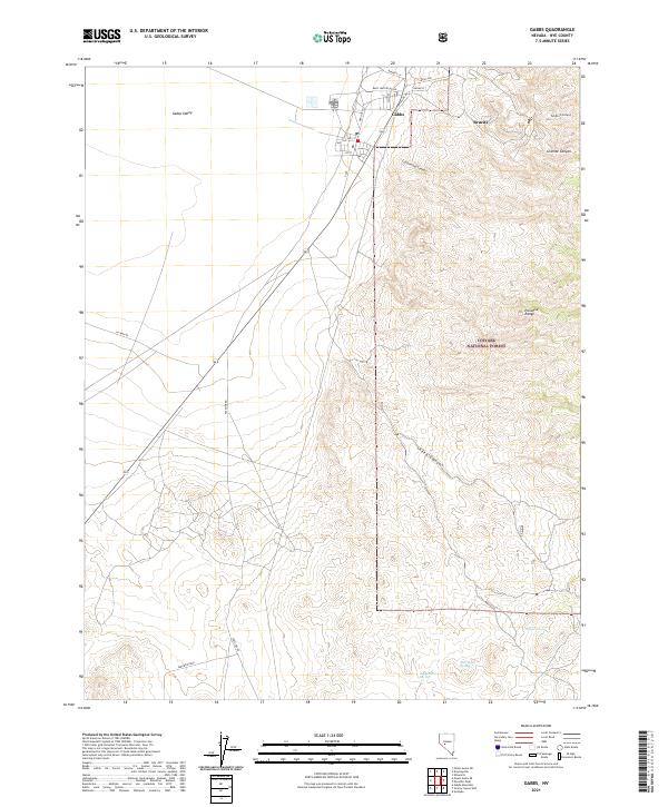 2021 Gabbs2021 Print · USGSGabbs and the rugged Paradise Range are shown here during the early twenty-first century as the mining and forest landscapes continue to define this part of Nye County. Researchers can trace the layout of the Gabbs townsite or locate remote water sources like Willow Spring and Derringer Spring.
End of results
Showing maps 1-13 of 13
Frequently asked questions
- What are the different types of historical maps available for North Gabbs?
- What is the oldest map of North Gabbs?
- Where can I purchase historical maps of North Gabbs for my home or office?
- Where can I download high-res historical maps of North Gabbs?
- Are there historical topographic maps available for North Gabbs?
- Is there historical aerial imagery available for North Gabbs?
- Where are historical maps of North Gabbs sourced from?