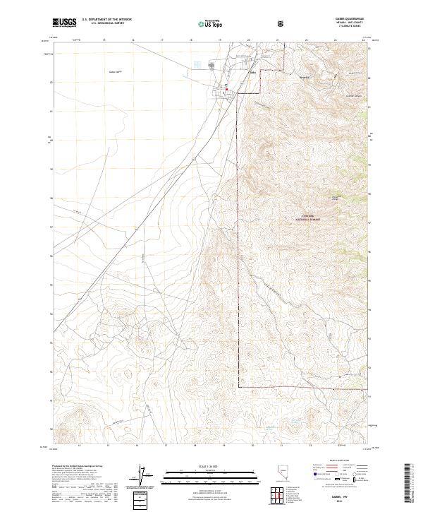
2021 Map of Gabbs
USGS Topo · Published 2021About this map
Gabbs and the nearby settlement of Brucite represent the primary human presence in this portion of Nye County. The landscape is defined by the high elevations of the Paradise Range and the Toiyabe National Forest, which rise above the expansive Gabbs Valley. The terrain is deeply incised by multiple drainages, including Tungsten Canyon, Cottonwood Canyon, and Granite Canyon, many of which transition from the steep slopes of Paradise Peak down to the valley floor. Water sources are scarce but critical in this arid environment, evidenced by named locations like Willow Spring, Derringer Spring, and Peppercorn Spring. These points of interest, along with the industrial-linked names of Brucite and Tungsten Canyon, suggest a history tied closely to the geologic and mineral resources of the region.
Find a feature on this map
31 named features on this map. Tap any name to fly to it.
Don’t see what you’re looking for? This feature index may not catch every label — zoom into the map to look around manually.
Map Details
Editions of this 2021 Gabbs Map
This is the sole edition of this map. No revisions or reprints were ever made.
Other maps of this area

1907 · Tonopah
USGS Topo · 1:250,000

1908 · Tonopah
USGS Topo · 1:250,000

1909 · Hawthorne
USGS Topo · 1:250,000

1911 · Hawthorne
USGS Topo · 1:250,000

1915 · Hawthorne
USGS Topo · 1:250,000

1948 · Paradise Peak
USGS Topo · 1:62,500

1948 · Walker Lake
USGS Topo · 1:250,000

1950 · Paradise Peak
USGS Topo · 1:62,500

1956 · Tonopah
USGS Topo · 1:250,000

1957 · Walker Lake
USGS Topo · 1:250,000