Old Maps of Warm Springs, Nevada
Explore 10 old maps of Warm Springs, spanning from 1956 to today. These high-resolution historic maps reveal how streets, neighborhoods, landmarks, and natural features evolved over time — perfect for genealogy, metal detecting, research, and local history exploration.
What you can do with these maps:
- See how Warm Springs changed over time: Compare historical maps to modern-day views to trace roads, homesites, rail lines & more.
- View detailed metadata: Each map includes creators, publishers, year, scale, and archive source.
- Overlay maps with satellite & LiDAR: Visualize the past alongside modern tools to explore terrain & human change.
- Trusted historical sources: Maps sourced from the USGS, Library of Congress, and other archives.
- Access maps your way: View online, download high-res files, or order prints for personal or research use.
Start exploring old maps of Warm Springs to uncover forgotten places, hidden landmarks, and the deep history beneath your feet.
Warm Springs, NV maps
(10)- 1956 Map of Tonopah, 1974 Print
 1956 Tonopah1974 Print · USGSCentral Nevada in the mid-fifties reveals a landscape shaped by mining and military footprints. Trace old silver districts near Tonopah and Manhattan, or locate early industrial sites like the Borax works at Columbus Salt Marsh.2 unique versions available
 - 1959 Map of Tonopah
 1959 Tonopah1959 Print · USGSCentral Nevada in the late fifties is a landscape of high desert ranges and mining history. Trace the remnants of old boomtowns and industrial sites like Berlin, the Gold Hill Mill, and the Victory Tungsten Mine.2 unique versions available
 - 1962 Map of Tonopah
 1962 Tonopah1962 Print · USGSCentral Nevada's high desert mining country is captured here during the early sixties, showing the enduring footprint of the silver and gold rushes. Researchers can trace the decline of historic camps and locate industrial sites like the Tybo Mine, Victory Tungsten Mine, and the Mt. Moriah Cemetery.2 unique versions available
 - 1968 Map of Warm Springs, 1971 Print
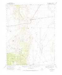 1968 Warm Springs1971 Print · USGSNye County in the late sixties remains a remote territory of mining camps and desert springs. Genealogists and historians can trace the foundations of Bellehelen, the Reveille Mill (Ruins), and various mines like the Ajax Mine.
 - 1968 Map of Warm Springs, 1973 Print
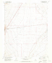 1968 Warm Springs1973 Print · USGSIn the high desert of Nye County during the late sixties, Warm Springs stood as a small but vital outpost between two valleys. Local history researchers can trace the water systems of the era, from the Aqueduct and Hot Spring to the isolated Joes Well.2 unique versions available
 - 1987 Map of Warm Springs
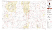 1987 Warm Springs1987 Print · USGSCentral Nevada in the late eighties remained a landscape of isolated mining camps and volcanic wonders. Genealogists and historians can trace the roads between Warm Springs and Tybo, or locate old workings like Ajax Mine and Clifford Mine.2 unique versions available
 - 2012 Map of Warm Springs, 2012 Print
 2012 Warm Springs2012 Print · USGSCovers Warm Springs, including Nye County, United States, and other nearby areas
 - 2014 Map of Warm Springs, 2014 Print
 2014 Warm Springs2014 Print · USGSCovers Warm Springs, including Nye County, United States, and other nearby areas
 - 2018 Map of Warm Springs, 2018 Print
 2018 Warm Springs2018 Print · USGSCovers Warm Springs, including Nye County, United States, and other nearby areas
 - 2021 Map of Warm Springs, 2021 Print
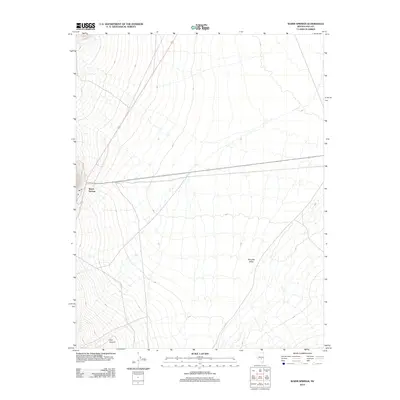
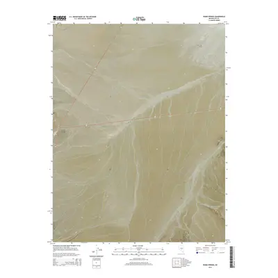
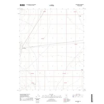
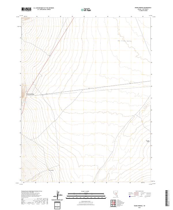 2021 Warm Springs2021 Print · USGSNye County's high-desert basins are documented in the early twenty-first century, showing the remote crossroads of Warm Springs near the Hot Spring. Genealogists and desert explorers can trace the intersection of routes 6 and 375 as they pass through Hot Creek Valley.
End of results
Showing maps 1-10 of 10
Top cities near Warm Springs
Frequently asked questions
- What are the different types of historical maps available for Warm Springs?
- What is the oldest map of Warm Springs?
- Where can I purchase historical maps of Warm Springs for my home or office?
- Where can I download high-res historical maps of Warm Springs?
- Are there historical topographic maps available for Warm Springs?
- Is there historical aerial imagery available for Warm Springs?
- Where are historical maps of Warm Springs sourced from?