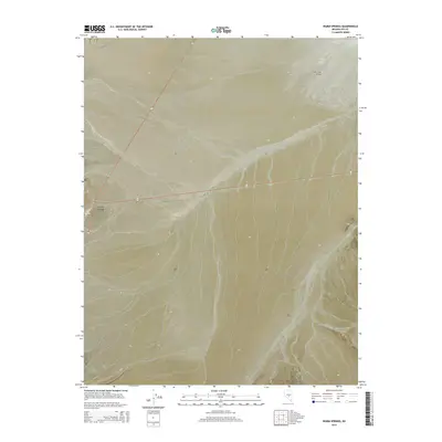
2014 Map of Warm Springs
USGS Topo · Published 2014About this map
Warm Springs serves as the focal point of this high-desert Nevada landscape, situated at the junction of significant regional routes. The settlement’s geography is defined by its namesake Hot Spring, located just west of the main crossroads. To the north, the broad expanse of Hot Creek Valley transitions into the central flats, while Reveille Valley stretches toward the southeast. The southern portion of the map is dominated by more complex topography, highlighted by the descent into Cow Canyon. This 2014 survey records a sparsely populated but geographically distinct intersection of traditional ranching and transit corridors, where the natural water sources dictated the placement of the early settlement.
Find a feature on this map
13 named features on this map. Tap any name to fly to it.
Don’t see what you’re looking for? This feature index may not catch every label — zoom into the map to look around manually.
Map Details
Editions of this 2014 Warm Springs Map
This is the sole edition of this map. No revisions or reprints were ever made.
Other maps of this area

1956 · Tonopah
USGS Topo · 1:250,000

1959 · Tonopah
USGS Topo · 1:250,000

1962 · Tonopah
USGS Topo · 1:250,000

1967 · Lunar Crater
USGS Topo · 1:62,500

1967 · Buckwheat Rim
USGS Topo · 1:24,000

1967 · Tybo SE
USGS Topo · 1:24,000

1968 · Tybo
USGS Topo · 1:62,500

1968 · Warm Springs
USGS Topo · 1:62,500
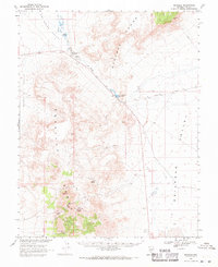
1968 · Reveille
USGS Topo · 1:62,500
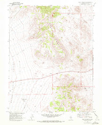
1968 · Warm Springs NW
USGS Topo · 1:24,000