Old Maps of Humboldt River Ranch, Nevada for Academic Research
Study the evolution of Humboldt River Ranch with 11 high-resolution historic maps. Whether you're teaching, researching, or modeling changes in land use, these maps provide essential visual documentation of urban, environmental, and geographic change.
- Analyze long-term change: Track patterns in development, transportation, and natural features.
- Ideal for environmental or urban studies: Support academic projects with primary historical map data.
- Use in the classroom or lab: Educators and researchers rely on these maps to bring historical context to life.
These maps are a powerful tool for teaching, research, and visualizing how Humboldt River Ranch has changed over the decades.
Humboldt River Ranch, NV maps
(11)- 1931 Map of Lovelock, 1955 Print
 1931 Lovelock1955 Print · USGSPershing County's high-desert mining landscape is frozen in time during the early 1930s, as gold and tungsten districts drove the local economy. Genealogists and historians can trace the foundations of Unionville, the industrial footprint of the Nevada Massachusetts Tungsten Mine, and the route of the Victory Highway.
 - 1935 Map of Lovelock
 1935 Lovelock1935 Print · USGSPershing County in the mid-1930s is a landscape of high-desert mining camps and essential rail hubs along the Humboldt. Researchers can trace the legacy of the silver and tungsten booms at Rochester, the Sulphur Mine, and the now-quiet streets of Unionville or Mazuma.3 unique versions available
 - 1955 Map of Lovelock, 1963 Print
 1955 Lovelock1963 Print · USGSNorthwestern Nevada’s vast desert basins and military ranges are captured here in the mid-fifties, showing a landscape defined by the Humboldt River and the great Pyramid Lake. Genealogists and historians can trace isolated rail stops like Gerlach and Empire, or locate historic workings such as the Golden Eagle Mine and Pershing Mine.5 unique versions available
 - 1956 Map of Oreana, 1957 Print
 1956 Oreana1957 Print · USGSThe Humboldt River corridor in the mid-1950s reveals a landscape defined by ranching, rail, and the remains of the mining era. Genealogists and historians can locate family landmarks like Cerini Ranch (Site), the mining works at Arabia, and early routes such as the Emigrant Road.3 unique versions available
 - 1959 Map of Lovelock
 1959 Lovelock1959 Print · USGSNorthwestern Nevada in the late fifties is a study in vast desert basins and isolated rail outposts like Gerlach and Sulphur. You can trace the Humboldt River corridor through Lovelock, identify mid-century military zones, and locate the Mine Mill in the northern ranges.2 unique versions available
 - 1984 Map of Lovelock, 1985 Print
 1984 Lovelock1985 Print · USGSThe Humboldt River valley and its flanking silver districts are captured here in the mid-1980s. Genealogists and historians can locate early mining camps like Unionville and Rochester alongside active operations like the Eagle Picher Mine.
 - 1987 Map of Rye Patch Dam
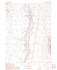 1987 Rye Patch Dam1987 Print · USGSPershing County during the late twentieth century shows a landscape where historic westward migration paths meet modern resource management. You can trace the Emigrant Trail across the desert or locate mining operations like the Oreana Mine and Little Tungsten Mine.
 - 2011 Map of Rye Patch Dam, 2011 Print
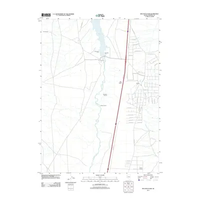 2011 Rye Patch Dam2011 Print · USGSThe Humboldt River corridor in the early 21st century reveals a landscape defined by water management and historic transit routes. You can trace the path of the Old Emigrant Rd and locate local landmarks like the Rye Patch Ranch and Rye Patch Dam.
 - 2014 Map of Rye Patch Dam, 2014 Print
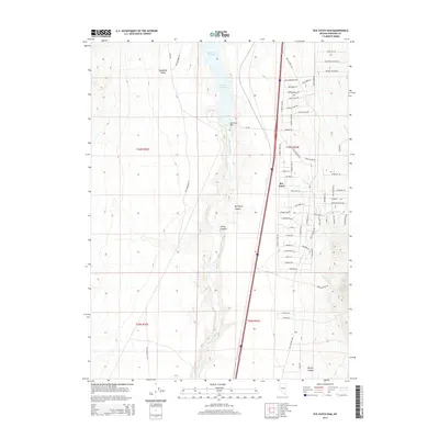 2014 Rye Patch Dam2014 Print · USGSThe Humboldt River corridor in the modern era shows a unique blend of high-desert water management and historic travel ways. Genealogists and local historians can trace the paths of the Old Emigrant Rd and Old Victory Hwy as they bypass Rye Patch Dam.
 - 2018 Map of Rye Patch Dam, 2018 Print
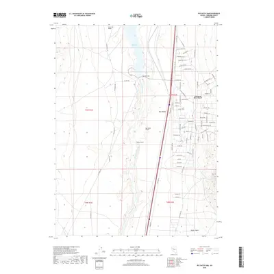 2018 Rye Patch Dam2018 Print · USGSThe Humboldt River corridor in Pershing County is captured here in the late twenty-tens, showing the contrast between historic pioneer trails and modern ranch developments. Researchers can trace the path of the Old Emigrant Rd or locate homesteads near the Rye Patch Dam and Humboldt River Ranch.
 - 2021 Map of Rye Patch Dam, 2021 Print
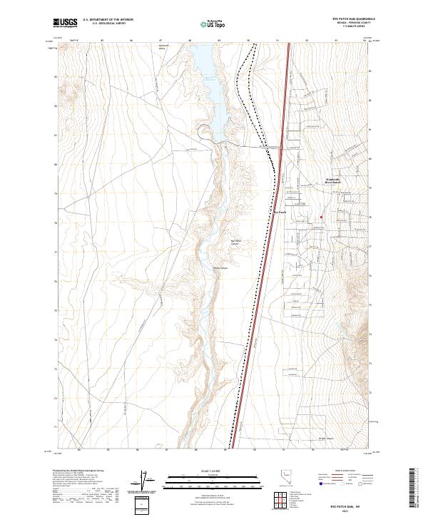 2021 Rye Patch Dam2021 Print · USGSPershing County's arid basin comes into focus during the early twenty-first century, showing the intersection of water management and desert settlement. Researchers can trace historic travel corridors like Old Emigrant Rd alongside the residential streets of Humboldt River Ranch and the waters of Rye Patch Reservoir.
End of results
Showing maps 1-11 of 11
Top cities near Humboldt River Ranch
Frequently asked questions
- What are the different types of historical maps available for Humboldt River Ranch?
- What is the oldest map of Humboldt River Ranch?
- Where can I purchase historical maps of Humboldt River Ranch for my home or office?
- Where can I download high-res historical maps of Humboldt River Ranch?
- Are there historical topographic maps available for Humboldt River Ranch?
- Is there historical aerial imagery available for Humboldt River Ranch?
- Where are historical maps of Humboldt River Ranch sourced from?