Old Maps of Lemmon Valley, Nevada for Academic Research
Study the evolution of Lemmon Valley with 13 high-resolution historic maps. Whether you're teaching, researching, or modeling changes in land use, these maps provide essential visual documentation of urban, environmental, and geographic change.
- Analyze long-term change: Track patterns in development, transportation, and natural features.
- Ideal for environmental or urban studies: Support academic projects with primary historical map data.
- Use in the classroom or lab: Educators and researchers rely on these maps to bring historical context to life.
These maps are a powerful tool for teaching, research, and visualizing how Lemmon Valley has changed over the decades.
Lemmon Valley, NV maps
(13)- 1891 Map of Reno
 1891 Reno1891 Print · USGSReno and the high desert valleys of Washoe County were undergoing a rail-driven expansion in the early 1890s. Genealogists and historians can trace early settlements like Poeville and Glendale or follow the path of the Central Pacific Railroad through Truckee Meadows.
 - 1893 Map of Reno
 1893 Reno1893 Print · USGSWashoe and Storey counties come to life in the late nineteenth century as Reno emerges as a major railroad hub. Researchers can trace the early paths of the Central Pacific Railroad and locate vanished outposts like Poeville and Junction House.7 unique versions available
 - 1950 Map of Reno, 1957 Print
 1950 Reno1957 Print · USGSMid-century Reno and Sparks appear here alongside the vital irrigation networks that sustained the Truckee Meadows. Researchers can trace the development of older neighborhoods and outlying sites like Poeville (Site), the Reno Fair Grounds, and Skyline Airfield.3 unique versions available
 - 1951 Map of Reno
 1951 Reno1951 Print · USGSMid-century Nevada comes into focus as Reno and Sparks expand along the Truckee River and transcontinental rail lines. Trace family history and local industry through features like Mtnview Cem, the Golden Fleece Mine, and early aviation at Skyline Airfield.2 unique versions available
 - 1957 Map of Reno, 1963 Print
 1957 Reno1963 Print · USGSWestern Nevada in the early sixties is a land of sprawling desert sinks and rising mountain ranges. Genealogists and historians can trace the rail-and-river network connecting Reno, the mining legacy of Rawhide Mine, and the boundaries of the Pyramid Lake Indian Reservation.5 unique versions available
 - 1959 Map of Reno
 1959 Reno1959 Print · USGSWestern Nevada in the late fifties was a land of expanding military airbases and high-desert irrigation projects. You can trace the lineage of the Comstock era through Carson City, locate the Pony Express Monument, or study the rail networks of the Southern Pacific RR.
 - 1960 Map of Reno
 1960 Reno1960 Print · USGSThe high desert of western Nevada comes alive in this mid-century survey of the Reno-Tahoe region. Genealogists and historians can trace rail lines like the Southern Pacific RR and locate remote outposts such as Olinghouse, Nixon, and the Olinghouse Mine.2 unique versions available
 - 1967 Map of Reno NE, 1970 Print
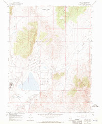 1967 Reno NE1970 Print · USGSThe northern reaches of the Truckee Meadows show a period of rapid mid-century growth near the Reno-Stead Airport. Researchers can trace the development of Lemmon Valley through its state-named streets, the Lemmon Valley Sch, and numerous local Sandpit sites.4 unique versions available
 - 1980 Map of Reno
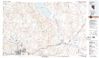 1980 Reno1980 Print · USGSReno and its high-desert surroundings appear in transition during the 1980s, balancing rapid urban expansion with its deep mining and ranching roots. Genealogists and historians can trace the Southern Pacific line through Fernley or locate local landmarks like Mountain View Cem and the Ruth Mine.3 unique versions available
 - 2011 Map of Reno NE, 2011 Print
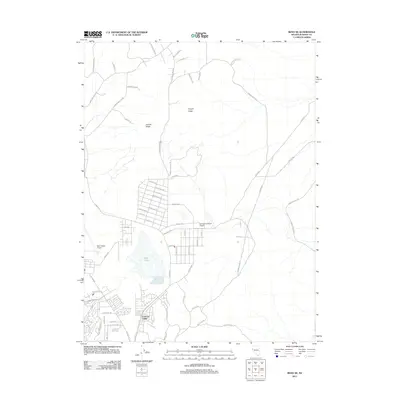 2011 Reno NE2011 Print · USGSThe high desert basins of Washoe County are captured here during a period of suburban expansion north of Reno. Genealogists and local historians can trace the development of Lemmon Valley and the boundaries of Swan Lake alongside the Reno-Stead Airport.
 - 2014 Map of Reno NE, 2014 Print
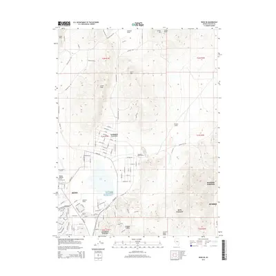 2014 Reno NE2014 Print · USGSWashoe County's northern valleys were undergoing rapid transition during this era of suburban expansion and aviation growth. Researchers can trace the residential street grids of Lemmon Valley and Golden Valley or locate landmarks like Swan Lake and the Youngberg Ranch Airport.
 - 2018 Map of Reno NE, 2018 Print
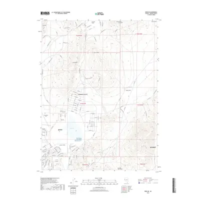 2018 Reno NE2018 Print · USGSThe northern reaches of Reno and Sparks are captured here in the late 2010s as suburban developments expanded toward the desert ranges. Genealogists and researchers can trace local growth near Lemmon Valley and landmarks like the Reno/Stead Airport or Swan Lake.
 - 2021 Map of Reno NE, 2021 Print
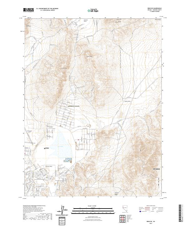 2021 Reno NE2021 Print · USGSThe northern edge of the Truckee Meadows meets the high desert in this recent survey of Washoe County's growing residential corridors. Researchers can trace the development of Lemmon Valley and Reno near landmarks like the Reno/Stead Airport and Swan Lake.
End of results
Showing maps 1-13 of 13
Top cities near Lemmon Valley
- Reno historical maps
- Sparks historical maps
- Cold Springs historical maps
- Golden Valley historical maps
- Mogul historical maps
Frequently asked questions
- What are the different types of historical maps available for Lemmon Valley?
- What is the oldest map of Lemmon Valley?
- Where can I purchase historical maps of Lemmon Valley for my home or office?
- Where can I download high-res historical maps of Lemmon Valley?
- Are there historical topographic maps available for Lemmon Valley?
- Is there historical aerial imagery available for Lemmon Valley?
- Where are historical maps of Lemmon Valley sourced from?