Old Maps of Wadsworth, Nevada
Explore 18 old maps of Wadsworth, spanning from 1890 to today. These high-resolution historic maps reveal how streets, neighborhoods, landmarks, and natural features evolved over time — perfect for genealogy, metal detecting, research, and local history exploration.
What you can do with these maps:
- See how Wadsworth changed over time: Compare historical maps to modern-day views to trace roads, homesites, rail lines & more.
- View detailed metadata: Each map includes creators, publishers, year, scale, and archive source.
- Overlay maps with satellite & LiDAR: Visualize the past alongside modern tools to explore terrain & human change.
- Trusted historical sources: Maps sourced from the USGS, Library of Congress, and other archives.
- Access maps your way: View online, download high-res files, or order prints for personal or research use.
Start exploring old maps of Wadsworth to uncover forgotten places, hidden landmarks, and the deep history beneath your feet.
Wadsworth, NV maps
(18)- 1890 Map of Wadsworth, 1954 Print
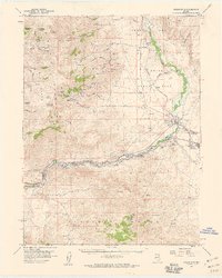
 1890 Wadsworth1954 Print · USGSNorthern Nevada's high desert reveals its late 19th-century rail and water patterns along the border of Washoe and Churchill counties. Local historians can trace the route of the Central Pacific Railroad through Wadsworth or locate the site of the Eagle Salt Works and the Piute Indian Agency.
 - 1892 Map of Wadsworth
 1892 Wadsworth1892 Print · USGSWestern Nevada at the close of the frontier era centers on the vital Truckee River corridor and the Central Pacific Railroad. Genealogists and historians can trace early settlements and infrastructure like the Piute Indian Agency, Eagle Salt Works, and the town of Wadsworth.
 - 1894 Map of Wadsworth
 1894 Wadsworth1894 Print · USGSWashoe and Churchill counties are captured in the 1890s at a critical junction of the transcontinental rail line and the Truckee River. Genealogists and historians can trace early Great Basin life through landmarks like the Piute Indian Agency, Wadsworth, and the Eagle Salt Works.5 unique versions available
 - 1957 Map of Wadsworth, 1959 Print
 1957 Wadsworth1959 Print · USGSThe Truckee River corridor comes alive in the late fifties as a vital artery for rail and water management. Genealogists and historians can trace the foundations of Wadsworth, locate cemeteries near the river, and explore remote mining sites like the Celetom Mine or Olinghouse.3 unique versions available
 - 1957 Map of Reno, 1963 Print
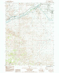
 1957 Reno1963 Print · USGSWestern Nevada in the early sixties is a land of sprawling desert sinks and rising mountain ranges. Genealogists and historians can trace the rail-and-river network connecting Reno, the mining legacy of Rawhide Mine, and the boundaries of the Pyramid Lake Indian Reservation.5 unique versions available
 - 1959 Map of Reno
 1959 Reno1959 Print · USGSWestern Nevada in the late fifties was a land of expanding military airbases and high-desert irrigation projects. You can trace the lineage of the Comstock era through Carson City, locate the Pony Express Monument, or study the rail networks of the Southern Pacific RR.
 - 1960 Map of Reno
 1960 Reno1960 Print · USGSThe high desert of western Nevada comes alive in this mid-century survey of the Reno-Tahoe region. Genealogists and historians can trace rail lines like the Southern Pacific RR and locate remote outposts such as Olinghouse, Nixon, and the Olinghouse Mine.2 unique versions available
 - 1980 Map of Reno
 1980 Reno1980 Print · USGSReno and its high-desert surroundings appear in transition during the 1980s, balancing rapid urban expansion with its deep mining and ranching roots. Genealogists and historians can trace the Southern Pacific line through Fernley or locate local landmarks like Mountain View Cem and the Ruth Mine.3 unique versions available
 - 1985 Map of Wadsworth
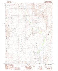 1985 Wadsworth1985 Print · USGSThe community of Wadsworth and the Truckee River corridor are captured in the mid-1980s, marking the edge of the Fortymile Desert. Researchers can trace the Southern Pacific rail line, two cemeteries, and the Pyramid Lake Indian Reservation Boundary.3 unique versions available
 - 1985 Map of Fernley West
 1985 Fernley West1985 Print · USGSNear the intersection of Lyon, Washoe, and Storey counties in the mid-1980s, the river and rail lines converge to shape local industry. Genealogists and historians can trace the development of Fernley and the industrial infrastructure surrounding the Truckee River and its Diversion Dam.2 unique versions available
 - 2011 Map of Wadsworth, 2011 Print
 2011 Wadsworth2011 Print · USGSCovers Wadsworth, including Fernley, Washoe County, and other nearby areas
 - 2011 Map of Fernley West, 2011 Print
 2011 Fernley West2011 Print · USGSCovers Wadsworth, including Fernley, Washoe County, and other nearby areas
 - 2014 Map of Wadsworth, 2014 Print
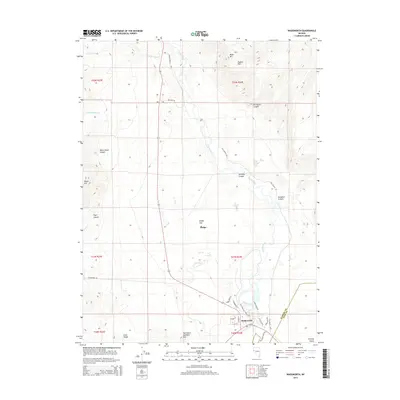 2014 Wadsworth2014 Print · USGSCovers Wadsworth, including Fernley, Washoe County, and other nearby areas
 - 2014 Map of Fernley West, 2014 Print
 2014 Fernley West2014 Print · USGSCovers Wadsworth, including Fernley, Washoe County, and other nearby areas
 - 2018 Map of Fernley West, 2018 Print
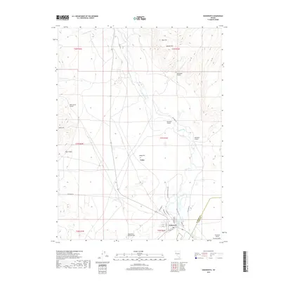
 2018 Fernley West2018 Print · USGSCovers Wadsworth, including Fernley, Washoe County, and other nearby areas
 - 2018 Map of Wadsworth, 2018 Print
 2018 Wadsworth2018 Print · USGSCovers Wadsworth, including Fernley, Washoe County, and other nearby areas
 - 2021 Map of Wadsworth, 2021 Print
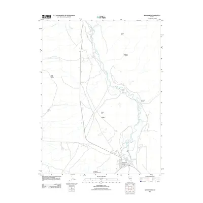
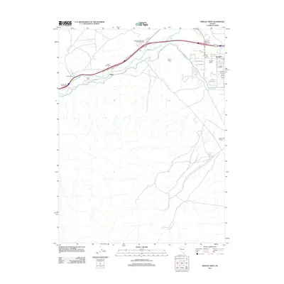
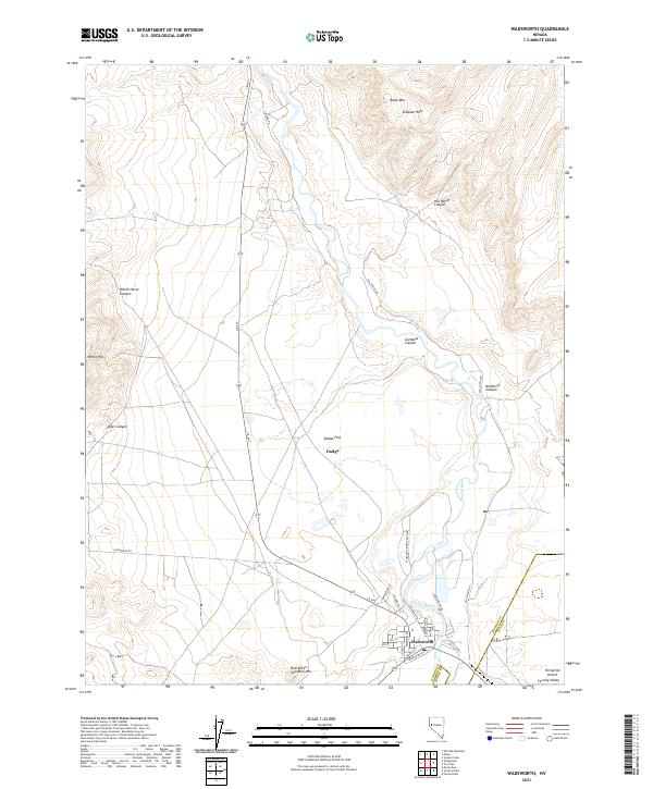 2021 Wadsworth2021 Print · USGSWashoe County's desert corridors and river bends are captured here in 2021, centered on the historic town of Wadsworth. Researchers can trace the layout of Wadsworth streets, the path of the Truckee River, and the approach to the Fortymile Desert.
 - 2021 Map of Fernley West, 2021 Print
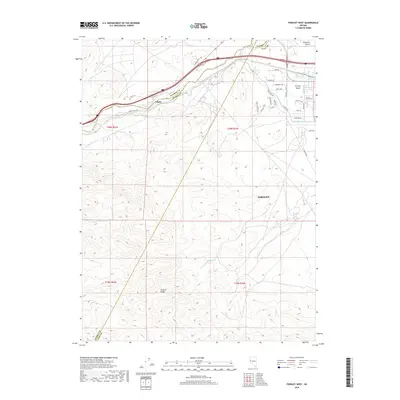
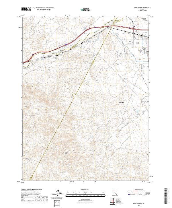 2021 Fernley West2021 Print · USGSLyon County at the start of the 2020s shows the continued growth of modern neighborhoods against a backdrop of desert water history. Trace the routes of the Truckee Canal and Truckee River, and locate landmarks like Gilpin and Samsarg Field.
End of results
Showing maps 1-18 of 18
Top cities near Wadsworth
Frequently asked questions
- What are the different types of historical maps available for Wadsworth?
- What is the oldest map of Wadsworth?
- Where can I purchase historical maps of Wadsworth for my home or office?
- Where can I download high-res historical maps of Wadsworth?
- Are there historical topographic maps available for Wadsworth?
- Is there historical aerial imagery available for Wadsworth?
- Where are historical maps of Wadsworth sourced from?