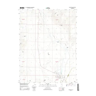
2014 Map of Wadsworth
USGS Topo · Published 2014About this map
The Truckee River carves through the landscape near the Washoe Co Lyon Co line, serving as the primary geographical anchor for the settlement of Wadsworth. This 2014 survey documents the modern layout of the town, where streets like Ackley Ave and Rabbit Cir meet the historic corridor of the Lincoln Hwy. The surrounding terrain is defined by dramatic elevations and named landforms, including Black Mtn and the Diabase Hills to the north, while the Clark Range and Red White and Blue Mtn dominate the southern views.
Find a feature on this map
38 named features on this map. Tap any name to fly to it.
Don’t see what you’re looking for? This feature index may not catch every label — zoom into the map to look around manually.
Map Details
Editions of this 2014 Wadsworth Map
This is the sole edition of this map. No revisions or reprints were ever made.
Other maps of this area

1890 · Wadsworth
USGS Topo · 1:125,000

1892 · Wadsworth
USGS Topo · 1:125,000

1894 · Wadsworth
USGS Topo · 1:125,000

1957 · Fireball Ridge
USGS Topo · 1:62,500

1957 · Two Tips
USGS Topo · 1:62,500

1957 · Wadsworth
USGS Topo · 1:62,500

1957 · Nixon
USGS Topo · 1:62,500

1957 · Reno
USGS Topo · 1:250,000

1959 · Reno
USGS Topo · 1:250,000

1960 · Reno
USGS Topo · 1:250,000